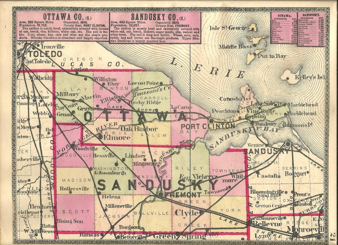
Maple Grove – Benton Township
Location: 41.589344, -83.202385
on N Lickert – Harder Rd at the intersection of W Duff – Washa Rd along Turtle Creek
Remnants: none known
Description: Maple Grove had a school on the south side of W Duff – Washa Rd just east of the GPS coordinates in the late 1800s to early 1900s on land donated by the Velliquette (Vellequette) family. The town was a popular gathering place for picnics and special occasions in the 1910s – 1950s. It had a dance hall, baseball field, and a baseball team. “Old time and new time” dances were held on Saturday nights, usually with a local band or orchestra providing the musical entertainment. Alcoholic beverages were either brought from home or purchased in a side room at the dance hall. Harvey A. Base (1910 – 1956) was the popular guy that all the girls wanted to dance with. He married Helen (Berger) Base (1904 – 1994). They had a couple of children and were buried in First Saint Johns Lutheran Cemetery on the north side of Seaman Rd in Oregon, Lucas County. The baseball games were also played on Saturdays during the summer months with Maple Grove competing against teams from other nearby towns.
Middleton – Benton Township
Location: 41.546080, -83.273024
on the north side of W Elliston East and West Rd between Elliston and Graytown
Remnants: none known
Description: Middleton was platted next to Sheldon in 1872 on the north side of the Lake Shore & Michigan Southern Railway. The lots didn’t sell well, and those who purchased them petitioned to vacate the plat in 1891 to avoid paying town taxes on farmland that obviously wasn’t going to be enhanced with a village.
Piccolo (Picolo) (Piccola) – Danbury Township
Post Office: 1881 – 1899
Location: 41.518860, -82.781155
on Englebeck Rd at the former railroad crossing between SR 163 and E Bayshore Dr along Meadow Brook
Remnants: none known
Description: It had a flag stop on the Lakeside & Marblehead Railroad. The post office was called Piccolo and was used as the town’s name on most maps after it opened. Someone by the name of S. Chapman was the first postmaster. He was succeeded by Ferdinand Bredehoft (1869 – 1918) who was buried with relatives and other residents in St. Pauls Cemetery 2 3/4 miles east of the GPS coordinates on Church Rd.
Sheldon – Benton Township
Location: 41.542698 -83.272918
on W Toussaint North Rd betwen the railroad tracks and Toussaint Creek
Remnants: Elliston Cemetery at the GPS coordinates
Description: Sheldon was platted with around 50 lots in 1872 along the Lake Shore & Michigan Southern Railway on the south side of the tracks between Elliston and Graytown. As with Middleton, the lots in Sheldon either didn’t sell well, or at all. Both towns were first spotted in the 1874 county atlas, made it into the 1900 atlas, but were left out of the 1920s atlas. Elliston Cemetery has since grown north, heading further into space Sheldon once claimed.
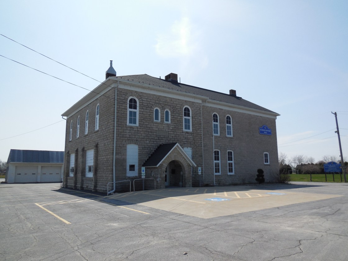
Violet – Danbury Township
Location: 41.518380, -82.807741
on Church Rd at the intersection of Port Clinton Eastern Rd (County Rd 5)
Remnants: St. Paul Lutheran Church and Cemetery on the east side of Church Rd about 1/2 of a mile north of the intersection, former school on the south side of Port Clinton Eastern Rd at the intersection of Von Glahn Rd
Description: Violet was a farming and railroad town established in the mid-1800s. Saint Paul Lutheran Church, which was also the town’s school in its early days, was built in 1845 and is an impressive sight to see as it proudly stands the test of time. There was also a Methodist church on Von Glahn Rd 1/2 of a mile west of the GPS coordinates in the mid-1800s to early 1900s. A nice two-story school was constructed in 1898 on the south side of Port Clinton Eastern Rd on land donated by the Behrman (Beerman) family. It currently houses the Danbury Township Zoning Department. The Lakeside & Marblehead Railroad was the first to arrive in the area. Its former path can be spotted on satellite maps just south of the GPS coordinates. Another railroad line was just north of the GPS coordinates. The tracks are long gone, but some of its bed is still intact east of Church Rd.