
Ghost Towns of Ohio Ebook (2021) PDF Download
Ghost Towns of Ohio: A History and Travel Guide; Containing a Road Trip Through the State’s 88 Counties
©2021 – Glenn Morris and the Ohio Ghost Town Exploration Co.
Dedication
This book is dedicated to the three biggest inspirations in my life and love of history. The first two are my parents, John and Marilyn Morris. They taught me the appreciation of family, history, and my mom taught me most of what I know about genealogy. My other inspiration has been the great historian and travel author, Henry Howe (1816 – 1893). Henry taught me that every county in Ohio is unique in the state’s shared history. They all have something worth visiting and telling others about. My previous books didn’t include every county in Ohio and didn’t do the state’s history the justice it deserves. I believe this one one does, and hopefully I made Henry proud somewhere along the way.
Acknowledgments
The current and former members of the Ohio Ghost Town Exploration Co. have my most sincere thanks for joining up in the promotion of travel to historical locations and structures all over the state. It has been an honor and a ton of fun working with each and every one of them: Brett Taylor, Cliff Kittle (RIP: 1963 – 2018), Vanessa Norris, Richard Drurey, Chelssie (Thompson) Hanson, William A. (Alex) Craft, Shasta Daniels, Billy Othersen, April (Beal) Tate, Noelle Janovick, Ashley Murray, Sam Serenas, Ashley Amato, Nicholas Gerhardstein, Cody Grine, and Samuel Witmer.
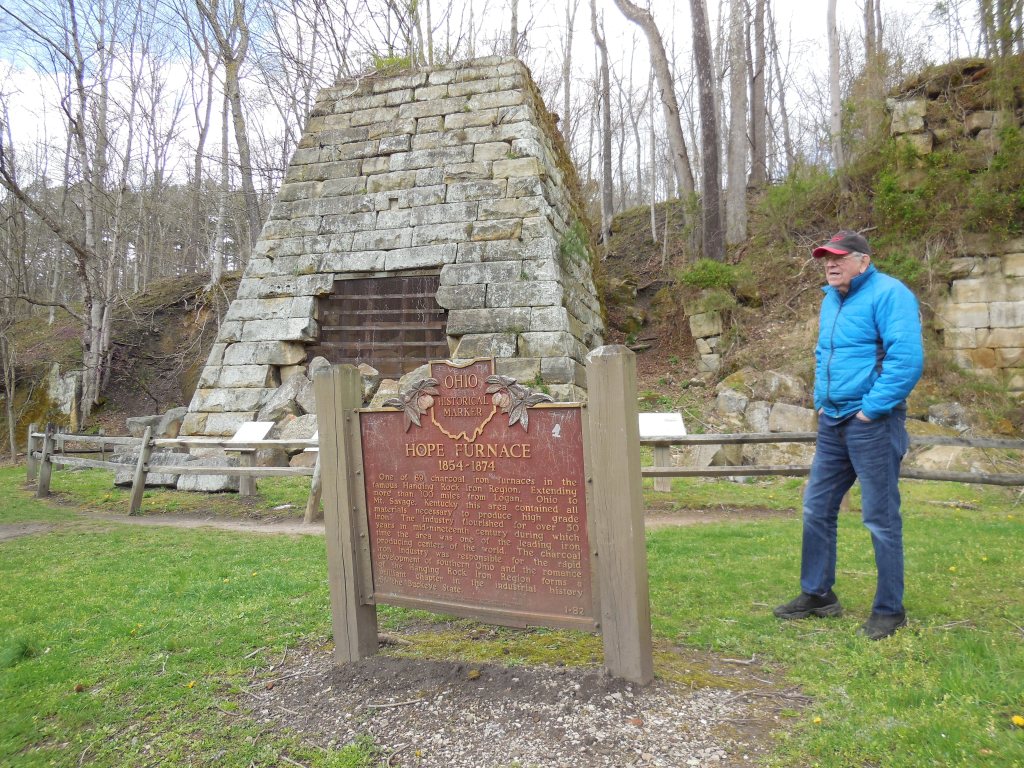
My dad also became an honorary member of the group last year. After talking about my travels of getting the pictures for this book a few times, he eventually asked me to take him along and we visited Moonville, Hope Furnace, and King’s Station on April 9, 2020. He really admired the architecture of King’s Tunnel and enjoyed visiting some places he had never seen in his 80 years in Ohio. It was definitely a fun day and, looking back on it now, it helped me get refreshed and ready to gather the rest of the pictures for this book.

Introduction
The research for this work was conducted from 2016 to 2020. All of the town listings are geographically termed as “historical populated places”, which in most cases means the town no longer exists or the area presently goes by a different name. A lengthy bibliography has been added for anyone interested in where most of the information was acquired. Obtaining the pictures was a bit of an epic journey. That task was completed within 93 days from February 2, 2020 to May 5, 2020, providing a visual representation of the locations from a specific time period. The counties were split up into regions where I could hit several on the way out of Cincinnati and more while returning, usually 6 to 10 counties on the day trips and taking a week or so of planning for the next voyage. Google Maps was needed for directions, but I didn’t use a GPS or my phone for navigating. Every turn was written down in pen in a notebook. For local trips with less turns, I grab any bit of scratch paper I can find or a napkin or paper towel.
Of course, a phone should always be carried for emergencies, however, I don’t use one otherwise for exploring purposes. After all, taking a break from the modern world is always part of the point of the journey. I’m not a professional photographer and wouldn’t even say I’m an amateur photographer. My pictures aren’t edited and I don’t consider them to be art. Although I do have a great appreciation for photography and what others do with it, taking pictures takes time and slows down the exploring. When you’re trying to hit as many counties as you can in one day, time is certainly of the essence.
The camera I used for this book was a Nikon Coolpix S6500, which I believe originally retailed for around $150 along with most of the necessary accessories. The pictures were narrowed down from a folder with nearly 1200 usable photos taken during the road tripping portion of the project. I chose to just use a couple of pictures per county for the main body to keep the content flowing better and more readable. Leaving some surprises for anyone who wants to go exploring themselves is also necessary to conducting all of this in the proper manner. An extra 10 of my favorite pictures have been added along with another town listing that barely got knocked out of the lineup as a bonus for those who are fascinated enough to venture that far.
My “horse” for the journey was a trusty 2006 Mercury Milan Premier with new tires and two spares in the trunk just in case. It encountered a good number of roads that it probably shouldn’t have been on due to their condition, four-wheel drive recommended by me. Some were much more difficult to maneuver than the average gravel road with steep terrain, winding turns, and undulating surfaces. The northern side of Wilbur Rd (Town Hwy 13) in Vinton County dead ends in a creek that my tires had to touch to get the car turned around. On the other side of the creek, Wilbur Rd is defunct and runs through the ghost town of Richland Furnace to the dead end of Richland Furnace Rd.
Mallett Rd (Town Hwy 236) in Noble County is quite an experience. I saw a bunch of rock trucks in the area and it appeared they at least occasionally use Mallet Rd. The ruts were the deepest I’ve ever seen in the state and the poor car bottomed out several times. Getting to Moonville and its nearby neighbor King’s Station is always a good bit of the fun no matter what direction you arrive from, but the condition of their roads is much better than what I’ve recently mentioned. Certain parts of Preble, Henry, Highland, Tuscarawas, Meigs, and Gallia Counties held some of the most beautiful terrain I’ve seen in the state, including scenery from rolling hills, vast prairies and grasslands, hidden valleys, and the rocky foothills of the Appalachians.
For any readers who are already familiar with ghost towns in Ohio, Moonville, the most popular ghost town in the state, has been excluded from the listings in this book. I already covered it in Abandoned Ohio and there’s more than enough information readily available on the place. Although I love Moonville as much as anyone who is into ghost towning, the lure of the location and repeated visits can overshadow other awesome places around the state that are also definitely worth visiting and learning more about. Richland has been substituted for Moonville in this case for it’s obscurity, comparable remoteness, and well… I have an undeniable thing for iron furnaces. The counties are arranged in alphabetical order. It just so happened that much of the early content in this book mostly showcases cemeteries, but I can assure you it gets a lot more interesting and diverse the deeper you dig into it.
When I first started putting this book together, I planned on making the introduction much longer and fully describe how I go about researching and such. Now, that doesn’t seem like such a good idea. Haha! The last thing I’d want to do is make anything boring. History isn’t boring and I hope future generations remember that. This book will be published online on my 42nd birthday. In my time on this planet, some of the most fun and memorable moments I’ll ever have were the result of this interest and love of the past. It hasn’t been enough for me to simply learn about history. I needed to see it in person to fully appreciate how Ohio got to be what it is today and the people who made it happen.
Glenn Morris – June 6, 2021
Ghost Town Listings
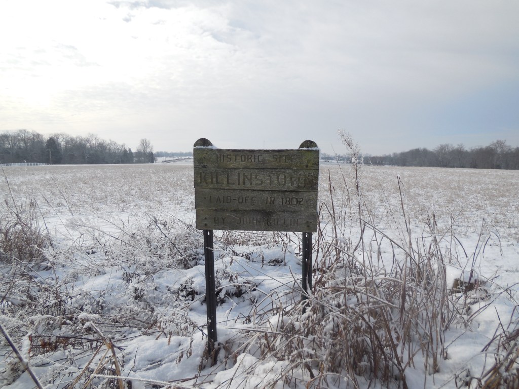
Killinstown – Tiffin Township, Adams County
Location: 38.797355, -83.492266
on SR 125 on the west side of the intersection of Poplar Ridge Rd
Remnants: 1. Seaman (Killinstown) Cemetery at the GPS coordinates – 2. historical marker near the cemetery
Description: It was a stagecoach stop town platted in 1802 by Revolutionary War veteran John Killin (1758 – 1844) and Rachel (Harper) Killin (1775 – ?). The area had previously been known as Adamsburg. John’s birth state is listed as Maryland in some genealogy records, but he joined in the fight for independence in Pennsylvania in 1776 and served as a musician. Rachel Killin was from Virgina and was married to John by Justice of the Peace Noble Grimes in Adams County in 1797. John and Rachel ran a tavern and inn at Killinstown and had a few children. The town also had a general store and was at least mentioned as potentially becoming the county seat.
Many of the stories of how towns became their county seats, and the hoops they had to jump through to do so, can be found in the old county history books. Some of them are rather interesting and include tidbits of behind the scenes action and even sabotage by residents of competing towns in some cases. John was buried in Pumpkin Ridge Cemetery (West Union Village Cemetery) 3 1/2 miles east of the GPS coordinates on S Cherry St (Pumpkin Ridge Rd). Rachel’s burial location is likely the same, but unknown at this point as is her death date. She was last recorded as living in Tiffin township in the 1860 census. The Seaman family has also been in the area since Ohio’s early days. They still own the land where the cemetery is and continue the historical tradition of farming.
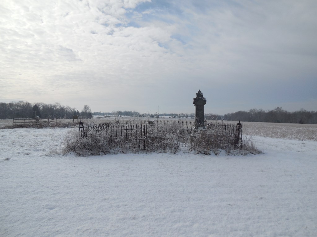

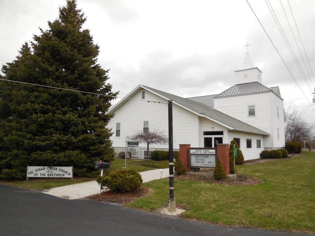
Sugar Creek Settlement – Bath Township and City of Lima, Allen County
Location: 40.788361, -84.102180
on E Bluelick Rd along Sugar Creek between SR 65 (N West St) and Berryhill Rd
Remnants: 1. historical marker at the GPS coordinates – 2. Berryhill Cemetery about 1/2 of a mile north of the GPS coordinates in the woods on the north side of Sugar Creek just south of Springbrook Golf Course – 3. Sugar Creek Church and Cemetery on the north side of E Bluelick Rd just east of the GPS coordinates
Description: Sugar Creek Settlement was the first village in Allen County and was used as a hub for dispersing new residents around what would later become Bath Township. It was founded in 1824 by Christopher Stark Wood (1772 – 1855) from Washington County, Pennsylvania and Mary Ann (Turner) Wood (1779 – 1844) from Maryland. They got married in 1797 and had several children. Christopher fought in many battles in the Northwest Indian War of 1785 – 1795, served as a scout captain in the War of 1812, and received much of his training as a frontiersman from Simon Kenton (1755 – 1836) who will be mentioned again later in this work.
Christopher also served as a justice of the peace, the first clerk of Bath Township, and was appointed to a judicial position. On top of all of that, he was assigned the task of laying out the future county seat and platted Lima on 160 acres in 1831. Mary Ann was laid to rest with relatives and other early pioneers in Berryhill Cemetery. Christopher died in a railroad accident and was buried with relatives in Mount Hope Athens Cemetery on SR 14 in Henry Township, Fulton County, Indiana. Sugar Creek Church of the Brethren (German Baptist) was organized in 1833. The present church structure was built in 1853. It has undergone many renovations and been added on to during its existence.
Albany – Jackson Township, Ashland County (formerly in Wayne County)
Location: 40.974005, -82.215116
on SR 89 at the intersection of Co Rd 620
Remnants: none known
Description: Albany was platted in 1832 by Jacob M. Kiplinger (1767 – 1845) from Berks County, Pennsylvania. He married Maria Barbara (Bopp) Kiplinger (1774 – 1856) in Dauphin County, Pennsylvania in the mid-1790s, had a few children, and subsequently moved to Ohio. Jacob was a deacon in the German Reformed Church. Albany was mentioned as still being a town in the 1863 county history book, but it fell into obscurity shortly after that. Jacob and Maria were buried with many relatives and other residents of Albany in Albion Cemetery 2 miles east of the GPS coordinates at the intersection of Co Rd 620 and Jackson Twp Rd. It appears Maria preferred her middle name as it was inscribed on her tombstone.
Albion is an unincorporated community. It was platted in 1830 and was originally called Perrysburgh. As seen in other places around the state, Albany may have been platted in competition with Albion, but lost the contest for commercial success in the area. These days, you’re still more likely to see a horse and buggy than a car, both at houses and going down the road with the strong Amish presence in the area. A “carpool” of men pulled up alongside the cemetery as I was looking for the Kiplinger graves. The driver offered the dropped off passenger a buggy ride to all the way to his house, to which he politely declined and departed home on foot. The Amish kids were occasionally seen in large numbers running around and playing in yards or sitting around huddled together waiting for cars to pass by and beep, some waving and some making funny faces and such.

Watsons Corners – Colebrook Township, Ashtabula County
Location: 41.557506, -80.790356
on Fee Rd at the intersection of W Windsor Rd
Remnants: North Colebrook Cemetery on Fee Rd just south of the GPS coordinates
Description: The town was founded by Joseph Mitchell Watson (1822 – 1876) and Mary Jane (Courson) Watson (1821 – 1892). They had 8 children, moved to Ohio from Pennsylvania around 1870, and owned an 80-acre farm in the southwest lot of the intersection. A school was on their farm on the south side of W Windsor Rd west of the GPS coordinates and was pinpointed in the 1874 county atlas. Although it predates the family’s arrival in Ohio, North Colebrook Cemetery was also established on what was the Watson farm. Back then, it just comprised of the section on the east side of Fee Rd. Joseph and Mary Jane were buried with relatives and other early pioneers from the area in the cemetery, including the Beckwith family who previously owned the land and members of the Fee family who the road was named after.
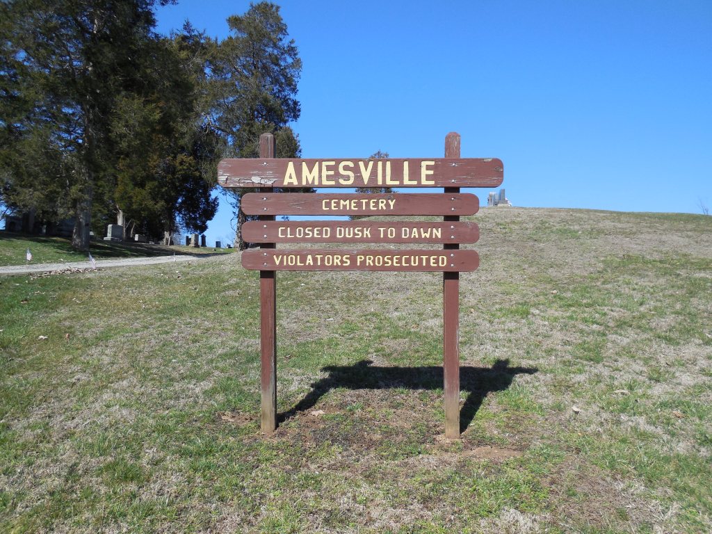
Mud Sock (Mudsock) (Deans) – Ames Township, Athens County
Post Office: 1821 – 1837
Location: 39.396667, -81.963194
on SR 550 along McDougall Branch between Brawley Rd and Jago Valley Rd (Township Hwy 478
Remnants: Mud Sock (Amesville) Cemetery at the GPS Coordinates
Description: Named after its tendency to have muddy roads due to the low-lying terrain, Mud Sock was founded by Revolutionary War veteran Captain Silas Dean (1767- 1810), settled by members of the Ohio Land Company, and served as a stagecoach stop. The town had a log schoolhouse built in 1804 near the entrance of the cemetery. A nephew of Silas, War of 1812 veteran Colonel Nathan Dean Jr. (1788 – 1837) from Bristol County, Massachusetts, acquired some of the land after Silas died. He married Fannie (Lane) Dean (1796 – 1873) in 1815 and had 9 children. Nathan was a brickmaker, Freemason, businessman, and ran the general store and post office. Mudsock was abandoned as Amesville sprang up and was subsequently platted in 1839, as that location was deemed more desirable for growing a town. Nathan was laid to rest with relatives and other residents in Amesville (Mud Sock) Cemetery.
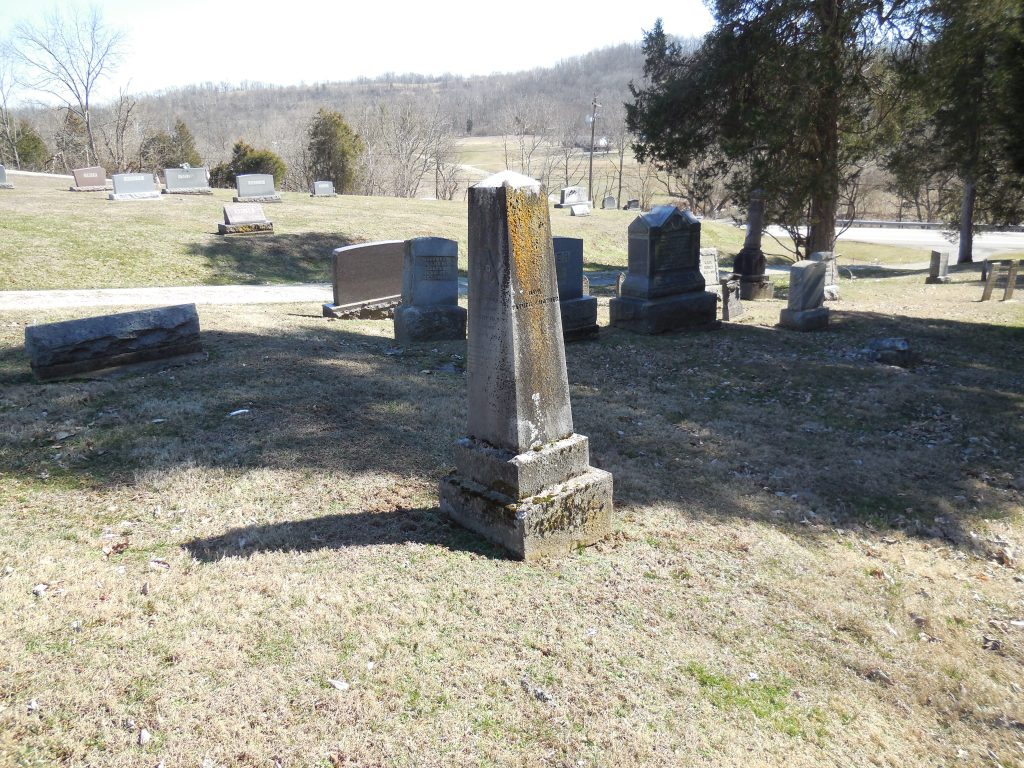
Deep Cut – Salem Township (formerly in Mercer County) and Spencer Township, Allen County
Post Office: 1840 – 1882
Location: 40.682015, -84.364163
on Deep Cut Rd at the intersection of SR 66
Remnants: 1. Deep Cut Historical Park on the northwest side of the GPS coordinates – 2. Mount Union Church and Deep Cut Cemetery about 3/4 of a mile southwest of the GPS coordinates at the intersection of Deep Cut Rd and Briggs Rd
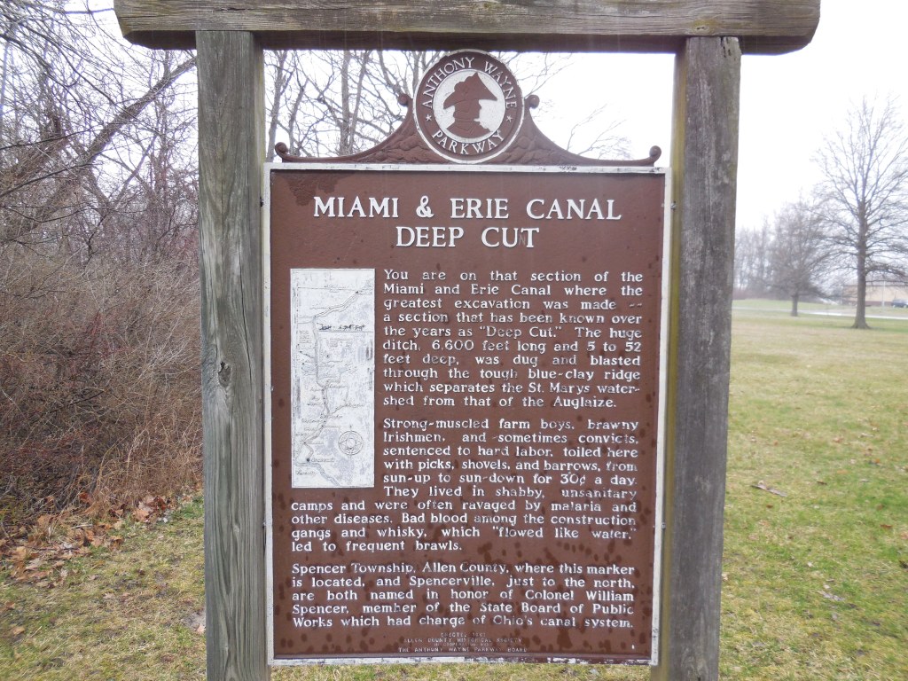
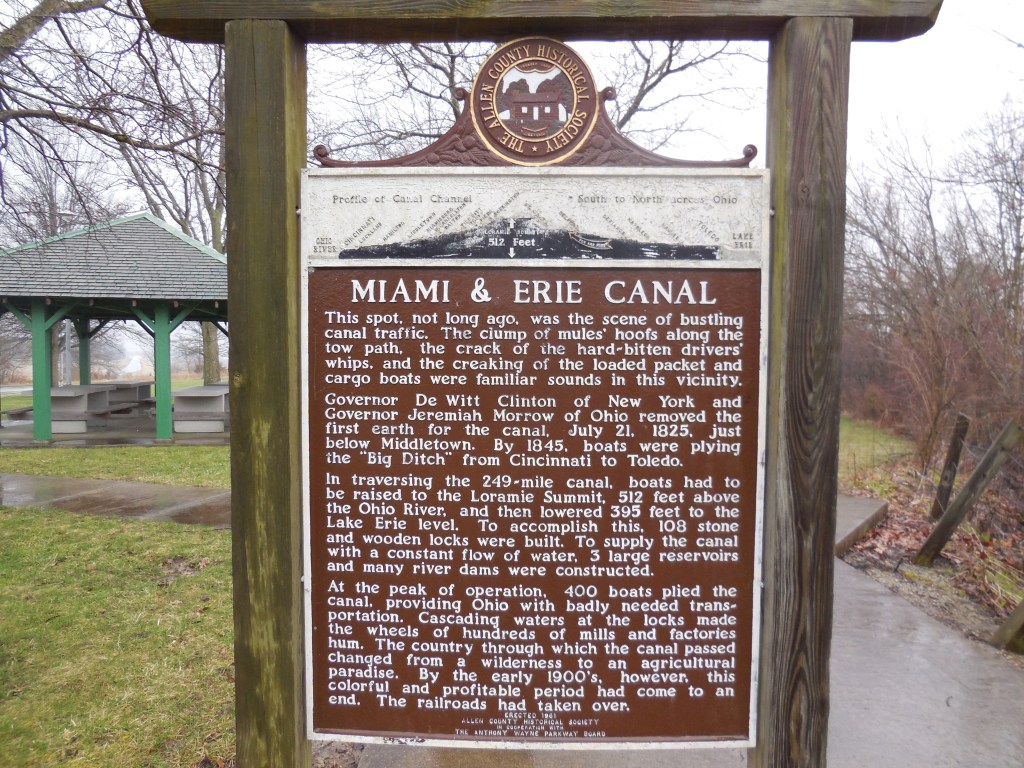
Description: It was named after a stretch of the Miami & Erie Canal which was dug up to 52 feet deep instead of the usual 5 feet, done so to keep from having to construct locks to get the water over the natural ridge in the area. In the mid-1800s, the town had a shipping warehouse and a combined general store and post office in the northwest corner of the intersection. A grocery store was just west of the GPS coordinates in the southwest corner of the intersection of Deep Cut Rd and Delphos – St Marys Rd (Co Rd 66A). There was a school (Salem Township No. 6) in the southeast corner of the intersection of Deep Cut Rd and Briggs Rd.
In the later 1800s, a new school and a tile yard were in the northwest corner of the intersection of Deep Cut Rd and Deep Cut Spencerville Rd (Township Hwy 55) on a 92-acre farm owned by German immigrant and Civil War veteran William F. Henne (1842 – 1928) and his wife Susanna Henne (1852 – 1931). They were buried with relatives in Spencerville Cemetery 1 1/2 miles north of the GPS coordinates at the intersection of SR 66 and Kolter Rd. Mount Union Church and Deep Cut Cemetery sprang up on a 119-acre farm owned by the Ritzhaupt family. The known postmasters over the years were E. N. Martin, Michael Howbert, S. Hyatt, Charles C. Marshall, Nathan H. Webb, E. P. Howell, Andrew J. Pickerell, Calvin E. Riley, and John A. Murlin. The local section of the deep cut is preserved in the park. It was designated as a National Historic Landmark in 1964 and was added to the National Register of Historic Places in 1966.
Egypt, OH (Egypt Mills) – Kirkwood Township, Belmont County
Location: 40.085233, -81.128718
on Salem Ridge Rd heading east off of Co Rd 108
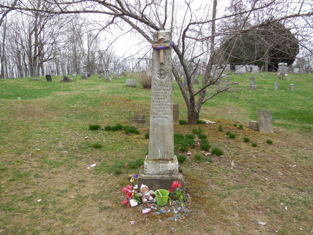
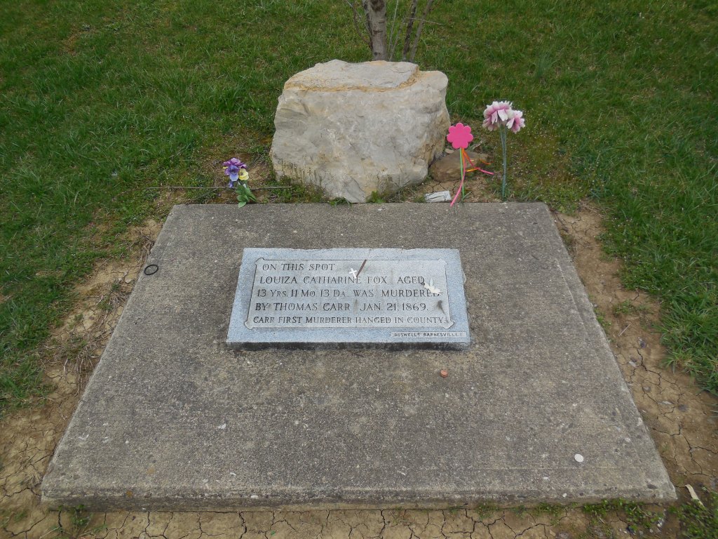
Remnants: 1. Salem Cemetery on the on the north side of Salem Ridge Rd about 1 1/2 miles east of the GPS coordinates – 2. Old Egypt (Circle) Cemetery on Salem Ridge Rd about 3/4 of a mile east of the GPS coordinates – 3. Louiza Fox memorial on the north side of Starkey Rd (Township Hwy 546) about 5 miles northwest of the GPS coordinates – 4. decaying abandoned houses and farm buildings in the area, wooden train bridge on the former railroad path
Description: It had a few residents as early as the first decade of the 1800s but didn’t become a town until the mid-1800s. Egypt had a school, general store, a train station on the B&O Railroad, and a post office called Egypt Mills from 1852 – 1857. Another post office named Egypt was in operation from 1883 – 1905. The most popular locations these days are the 2 cemeteries, Salem and Old Egypt (Circle) Cemetery on Salem Ridge Rd, and the Louiza Fox memorial site. There are also several decaying barns and houses in the area, a wood bridge, and remnants along the old railroad path and throughout the current Egypt Valley Wildlife Area which encompasses the former town’s land and is well known for its ghost stories.
Louiza Catharine Fox (1856 – 1869) was engaged to be married with the much older Thomas D. Carr (1846 – 1870), who was a Civil War veteran. They met through Alex Hunter, the owner of a local coal company who they both worked for. Thomas worked in the coal mines and Louiza was a servant in Alex’s house. The engagement between Thomas and Louiza was originally approved by her parents, but they changed their minds when they heard rumors around town about Thomas’s violent side. The marriage was called off and the rumors unfortunately turned out to be true. Thomas waited in the dark one night next to a road that Louiza used to walk home. She was with her little brother at the time, who Thomas told to go home so he could talk to Louiza. Instead of talking, Thomas kissed Louiza one last time and proceeded to slit her throat with a razor blade.
Louiza’s little brother saw it all happen from a distance and ran home to tell their parents. Thomas got arrested and was the first person hanged in Belmont County in 1870. Louiza reportedly haunts Salem Cemetery and can be seen or heard crying by her grave. Unlike most ghost stories around the state, the details concerning Louiza’s life story are real and historically accurate. Another place that visitors of the ghost town are drawn to is a memorial site of her murder. It has since been moved from the original location and is on the north side of Starkey Rd. As with all of the sites to explore in Egypt, getting there isn’t as the roads are low on maintenance priority with no residents living in the area anymore.
About a mile down the road from Salem Cemetery is the Old Egypt (Circle) Cemetery which is said to be haunted by the ghost of a truck driver who died in a crash around there. He supposedly lost an arm that was never found and the sounds of fingernails tapping on gravestones can be heard in the cemetery at night. Old Egypt Cemetery is also reportedly haunted by “devil” dogs that guard it and can be heard howling in the woods nearby at night. Despite the numerous legends surrounding Egypt’s history, and some of the other ghost towns around the state, it’s worth mentioning and remembering that the early residents buried in its cemeteries were also regular people just like us and the rest of Ohio’s early settlers. Their struggles and achievements are often overlooked when exploring a town with added mystique.
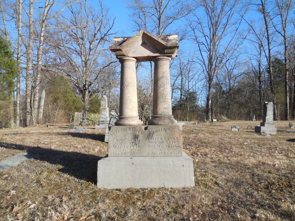
Bloom Rose (Bloomrose) (Prall) – Sterling Township, Brown County
Post Office: 1854 – 1869
Location: 39.103999, -83.998125
on Bloomrose Rd at the intersection of Blue Sky Park Rd along Fivemile Creek
Remnants: Bloomrose Church and Cemetery on the east side Bloomrose Rd south of the GPS coordinates
Description: The town had a school (Sterling Township No. 3) on the south side of Blue Sky Park Rd and a shoe shop on the west side of Bloomrose Rd south of the GPS coordinates. Its United Brethren congregation formed in 1845. The land for Bloomrose Church and cemetery was acquired by the congregation from Joseph Brown (1812 – 1886) who moved to Ohio from Maine and Zelinda Brown (1820 – 1847). Their son Joseph Bennett Brown was the first interment. Joseph was also the town’s postmaster and married Ruth Brown (1821 – 1886) after Zelinda passed away.
The current brick church structure was built in 1883. In the late 1800s to early 1900s the town was called Prall and was named after the most prominent family in the area at the time. Several of their family members were also buried in the cemetery, dating back to Thomas Prall (1813 – 1874) from New Jersey and Catharine (Lefler) Prall from Ohio (1817 – 1895). The area lacked industry though and couldn’t compete with several other villages in the township which were more prosperous. Bloomrose Church is still in operation.
Stillwell (Stillwell’s Corners) – Hanover Township, Butler County
Post Office: 1831 – 1859
Location: 39.453050, -84.688592
on US 27 (Millville Oxford Rd) at the intersection of Stillwell Beckett Rd
Remnants: historical marker and war veterans memorial at Stillwell (Hancock Family) Cemetery 1/3 of a mile north of the GPS coordinates on the grounds of Indian Ridge Golf Club
Description: Its business busy proprietors were Jacob G. Stillwell and Elizabeth Mary (McCullough) Stillwell who owned a 151-acre farm at the GPS coordinates. They got married in 1828 and had a few children. Jacob and Elizabeth built a distillery in 1830, a steam-powered grist and saw mill in 1835 – 1836, a general store, and a tavern. Jacob was the postmaster for most of the office’s existence. Wilis R. DeWitt briefly held the position in the mid-1840s. Dr. Silas Roll (1810 – 1871) from New Jersey was the last known postmaster in the late 1850s. A church was on the east side of DeCamp Rd about 1 1/3 miles southwest of the GPS coordinates on the 176-acre Roll farm.
The town was just barely passed up by the Cincinnati & Indianapolis Junction Railroad. Its tracks were laid 1/2 of a mile to the south and the present town of McGonigle grew around them. Stillwell’s post office moved there, as did the the area’s businesses, and Stillwell was left in the dust. Silas Roll was buried with relatives in Oxford Cemetery 3 3/4 miles north of the GPS coordinates on the west side of US 27 in Oxford Township. Stillwell Cemetery was established in 1811, a couple decades before the town sprang up. Many township pioneers were buried there in currently unmarked graves and remaining stones have been laid flat. Its well-maintained and has a nice wood fence surrounding a war veterans memorial.
Whitacres – Augusta Township, Carroll County
Location: 40.702811, -81.078629
on Arbor Rd at the intersection of Malibu Rd along Muddy Fork
Remnants: Mount Zion United Methodist Church and Cemetery about 1 3/4 miles southeast of the GPS coordinates at the intersection of Aurora Rd NE and Bellflower Rd
Description: The town was founded in the early 1850s by Edward Whitacre (1809 – 1897) and Rachel (Taylor) Whitacre (1810 – 1854). It had a train station on the Lake Erie, Alliance, & Wheeling Railroad. There was also a school in the northwest corner of the intersection of Malibu Rd NE and Brush Rd NE on land donated by James Morledge (1810 – 1878) and Elizabeth (Jackson) Morledge (1807 – 1895). They were both born in England, got married in 1832, and were laid to rest in Mount Zion Cemetery. The local Methodist congregation formed in 1827. Their original log church was replaced by the present brick structure around 1840. Edward never remarried after Rachel passed away and raised 8 of their 11 children by himself. They were buried with relatives in Plaines Cemetery at the intersection of Walker Rd and Ellsworth Ave in Minerva.
Concord Mills – Concord, Mad River, Salem, and Urbana Township, Champaign County
Location: 40.130027, -83.809881
on Millerstown Rd at the intersection of River Rd along Mad River
Remnants: Kenton Memorial Cemetery on the north side of Millerstown Road west of River Rd
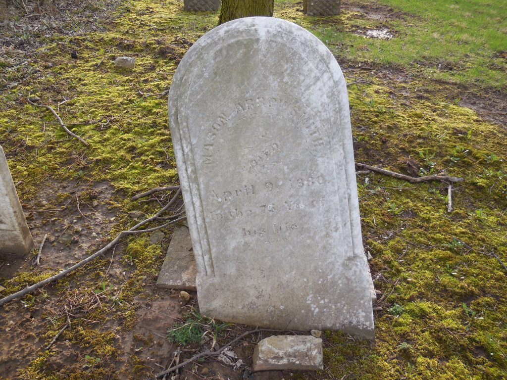
Description: The town was originally settled in the first decade of the 1800s and had several grist and saw mills on Mad River and Muddy Creek over the decades. They were mostly built by the Arrowsmith and Kenton families. Mason Arrowsmith (1806 – 1880) provided a lengthy description of the area’s early days for the 1872 History of Champaign and Logan Counties. His maternal grandfather, Revolutionary War veteran William Kenton (1737 – 1822) from Prince William County, Virginia, also lived in Concord Mills and was a brother of famed frontiersman and war veteran Simon Kenton (1755 – 1836).
Simon saved the settlers of Concord Mills from complete annihilation by local natives, led by Shawnee Chief Tecumseh, when Mason was just 6 weeks old. His unexpected appearance and warning to the natives deterred them from attacking. Mason and William were buried with many relatives in Kenton Memorial Cemetery. Much more about information about the Arrowsmith and Kenton families was recorded in the old county history books.
New Boston (Piqua) – Bethel Township, Clark County
Post Office: 1818 – 1824
Location: 39.907609, -83.908910
on S Tecumseh Rd at the SR 4 underpass along Mad River
Remnants: 1. Daniel Hertzler House Museum in George Rogers Clark Park just north of the GPS coordinates – 2. historical markers in the grounds around the Hertzler house – 3. New Boston (Tecumseh) Cemetery in a small patch of woods between SR 4 and Old Lower Valley pike just east of the GPS coordinates
Description: New Boston was founded in 1809 by Henry Bailey at the former site of Piqua (Peckuwe), a Native American Shawnee village founded in 1754. Piqua also grew to include settlers from the Wyandot, Delaware, and Mingo tribes and was the birthplace of Shawnee Chief Tecumseh (1768 – 1813). It was fortified with Revolutionary War British troops and was destroyed in 1780 by General George Rogers Clark (1752 – 1818) and his American soldiers. New Boston was the only rival Springfield had in those early days. When Springfield barely won the county seat in 1818 by 2 votes, growth in New Boston began to decline. It was officially annexed into Springfield in 1866 when the town was abandoned by court order. That was normally a result of a petition by the landowners who had no hopes of turning a plat into a village and didn’t want to keep paying town taxes on the farmland.
An annual fair in George Rogers Clark Park near the site of the Battle of Piqua is hosted by The George Rogers Clark Heritage Association. The reportedly haunted home of Daniel Hertzler (1800 – 1867) and Catharine (Hershey) Hertzler (1809 – 1872) from Pennsylvania is now a restored museum at 930 S Tecumseh Rd. They got married in 1827, moved to Clark County in the early 1830s, and owned the farm at the former site of Piqua and New Boston in the mid-1800s. Daniel was found dead in the house due to a gunshot wound. A couple of suspects were arrested for the crime, but they subsequently escaped and justice was never served. The house was listed on the National Register of Historic Places in 1978. Daniel and Catharine had 10 children and were buried with relatives in Ferncliff Cemetery on McCreight Ave in Springfield. There are several historical markers around the Hertzler House, including one for the Battle of Piqua and a large stone with a memorial plaque for the Shawnee Tribe and their village.

East Liberty (Gernon) (Baldwin) (Baldwin Station) – Batavia and Union Township, Clermont County
Post Office: 1876 – 1908
Location: 39.120855, -84.211888
on Baldwin Rd at the intersection of Binning Rd along East Fork Little Miami River
Remnants: old houses and farm buildings in the area
Description: Its first proprietor, John Bills, constructed a small grist mill next to East Fork Little Miami River around 1825. The mill was sold to John Baker and Mathias Kugler (1822 – 1919) purchased it from John. Mathias named the town East Liberty and built a larger grist mill along with a saw mill on the site. He also operated a general store, distillery, and a cooper (barrel) factory. Those all closed before the town name changed to Baldwin in the mid-1870s. David Baldwin donated land for a train station when the Cincinnati & Eastern Railroad (later the Norfolk & Western Railway) arrived in the area. A new general store opened up and was owned by Reece Sapp (1848 – 1923), who was also the first postmaster. David platted the town with 21 lots on 5 streets in 1877.
Despite the successes the area had in the mid to late 1800s, it never grew beyond the original plat and fell off of maps in the early 1900s. Joseph M. Stevenson was the last postmaster. Mathias Kugler was buried with relatives in Evergreen Cemetery about 13 miles northwest of town on SR 126 in Miami Township. Reece Sapp was buried with relatives in Greenlawn Cemetery 6 miles northwest of the GPS coordinates on US 50 in Milford. The Gernon family was also influential in the area and the town took on their name at some point. A house in the southwest corner of the intersection was built by the Gernon family in 1890 and was damaged in a fire in the late 2010s. Many residents were reportedly buried in a cemetery about 1/4 of a mile from Binning Rd on the east side of Olive Branch – Stonelick Rd, but its location has since been lost to time.
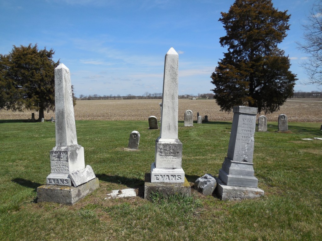
Quinn’s Mills – Wayne Township, Clinton County
Post Office: 1849 – 1852
Location: 39.440084, -83.615746
on Hornbeam Rd at the intersection of SR 729
Remnants: Evans Cemetery on the north side of S Snowhill Rd about 1 1/4 miles east of the GPS coordinates
Description: The town was founded by David Quinn (1804 – 1867) from Virginia and Mary (Woodmansee) Quinn (1811 – 1860) from New Jersey. David was a farmer, stock dealer, built a saw mill, and served in the state legislature from 1857 – 1858. The family owned over 1200 acres of land southeast of the GPS coordinates along Hornbeam Rd. Mary’s parents, Isaac Woodsmansee (1785 – 1871) and Abigail Woodsmansee (1791 – 1867), got married in 1806 and owned a general store at Quinn’s Mills. A school (Wayne Township No. 2) and a grange hall were in the northeast corner of the intersection.
David and Mary were buried with relatives in Sugar Grove Cemetery on W Truesdell St in Wilmington. Most of the town’s residents were laid to rest in Evans Cemetery. It was established on a large farm owned by Judge Stephen Evans (1803 – 1879) from Highland County and Mary (Wilson) Evans (1803 – 1876). They got married on Stephen’s 25th birthday in 1828, purchased the farm in 1835, and had 12 children. Their large and lavish brick residence, which still stands on the west side of the cemetery, was completed in 1845 and is well-maintained. The cemetery is beautifully perched atop a tall but gently sloping hill extending from the roadside.

Sprucevale – Saint Clair Township, Columbiana County
Post Office: 1871 – 1900
Location: 40.706883, -80.580938
on Sprucevale Rd about 3 miles north of Calcutta along Little Beaver Creek
Remnants: 1. Hambleton Mill at the GPS Coordinates – 2. Esther Hale bridge just south of the mill 3. – Gretchen’s Lock about a half mile west of the GPS coordinates – 4. “Pretty Boy” Floyd historical marker on the west side of Sprucevale Rd just north of the mill
Description: In 1835 the Hambleton brothers platted the town of Sprucevale around a small grist mill that they recently purchased. James Hambleton (1788 – 1869) operated the mill and served on the canal board. Charles Hambleton (1790 – 1864) ran the general store and post office. Benjamin Hambleton (1786 – 1869) had a saw mill, oil mill, and another general store. Issac Hambleton (1802 – 1895) managed a wool factory. The Sandy & Beaver Canal was built through town but was badly damaged when the local reservoir broke in 1852. It lost funding and maintenance as railroads in nearby towns had taken over the shipping industry. With no railroad and a dilapidated canal, Sprucevale’s days were numbered. The town had over a dozen homes and 20 families at one time, but there were only a few left by the end of 1870.
However, there was still a need for a post office to serve the surrounding area. An office opened in 1871 with William Huddleston (1825 – 1908) from Beaver County, Pennsylvania as the postmaster. He married Hannah (Smith) Huddleston (1825 – 1899) of Sprucevale in 1850 and they owned a farm across the road from the mill on the north side of Little Beaver Creek. Hannah was buried with her maiden family in Clarkson Cemetery 3 miles north of town on the west side of Sprucevale Rd in Middleton Township. William later moved out of the state and was buried with descendants in Viola Cemetery on the west side of US 67 in Mercer County, Illinois. Although Sprucevale is a ghost town, it’s still considered to be a populated place for census purposes.
Canal lock #41, also known as Gretchen’s Lock, sits along the banks of Little Beaver Creek approximately a half mile west of Sprucevale Rd and is supposedly haunted by a girl named Gretchen Gill who died of malaria in Sprucevale. Her father, E. H. Gill, was an engineer of the Sandy & Beaver Canal. Gretchen’s death reportedly happened on August 12, 1838. The bridge over Little Beaver Creek on Spurcevale Rd is said to be haunted by Esther Hale, a bride to be whose groom took off the day before the wedding. As the story goes, Esther was found dead in her home a few months later still wearing her wedding dress and she can occasionally be seen at the bridge dressed in her wedding attire. The bridge has been replaced several times since the origin of the story, also from the late 1830s. Many details concerning both of the legends are continually in dispute.
Echo Dell Rd in Beaver Creek State Park is also the site of Gaston’s Mill which has been restored and opened to the public along with a few other old buildings. The Hambleton Mill was in extreme disrepair and was restored in the 1970s. It’s is an impressive sight to see on Sprucevale Rd just north of Beaver Creek. Ohio Historical Marker #10 – 15 is about 1/2 mile north of the mill. It marks the spot where gangster Charles Arthur “Pretty Boy” Floyd met his demise in 1934 when he encountered a large group of federal agents and local police just 3 months after being declared “public enemy #1” by J. Edgar Hoover.
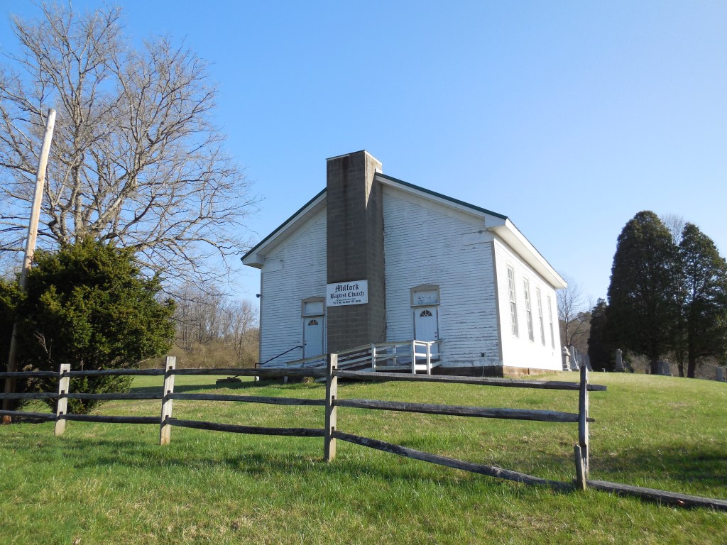
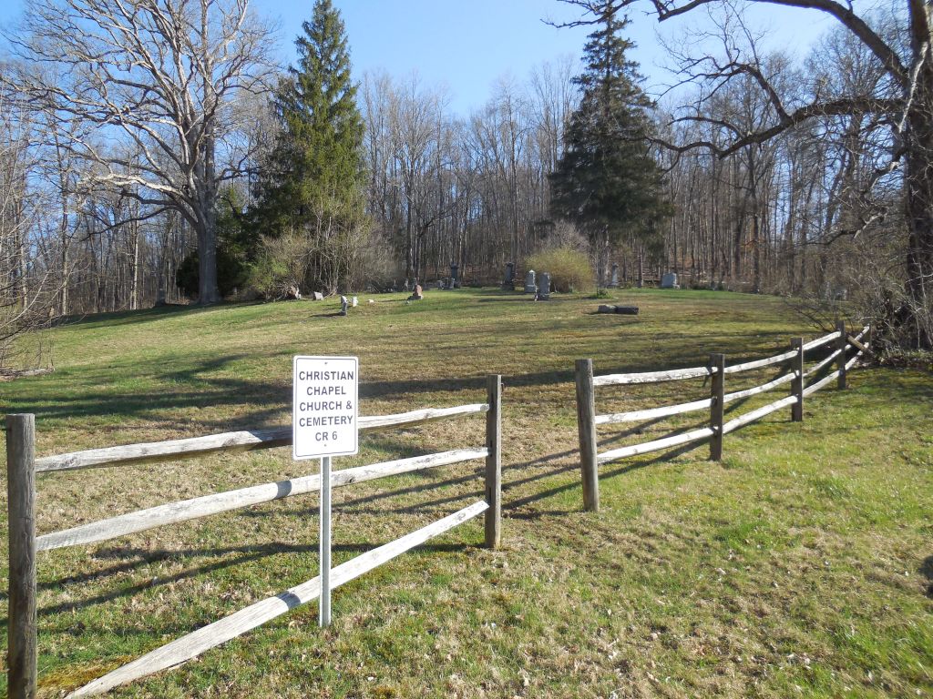
Willowbrook (Willow Brook) – Virginia Township, Coshocton County
Post Office: 1875 – 1904
Location: 40.218898, -81.939124
on Co Rd 6 along Mill Fork between Co Rd 298 and Township Hwy 282
Remnants: 1. Mill Fork (Milfork) Baptist Church and Cemetery on the north side of Co Rd 6 about 1 1/4 miles southwest of the GPS coordinates – 2. Christian Chapel Cemetery on the north side of Co Rd 6 a mile northeast of the GPS coordinates – 3. foundation and rubble from the Christian Chapel structure just inside the cemetery entrance
Description: Willowbrook had a general store, a couple of church congregations, and a school. The Mill Fork Baptist congregation formed in 1840 and the present wood frame structure was completed in 1870. Although a sign out front mentions Sunday service at 10 a.m., the building doesn’t appear to be in operation anymore. Another church was at Christian Chapel Cemetery. It appears to have collapsed several decades ago and is now in a flattened pile of ruins among a thick stone foundation. The ruins are neat to check out and at least a small bonus that most ghost town cemeteries don’t have.
The first school was pinpointed in the 1872 county atlas and was on the north side of what Google Maps has listed as Township Hwy 291 which is now defunct. A later school was pinpointed on the south side of the GPS coordinates in the 1910 county atlas. H. H. Mills was the first postmaster. He was succeeded by Civil War veteran Reverend John W. Wright (1842 – 1912) who was buried with relatives in Christian Chapel Cemetery. Bert C. Senter (1869 – 1919) was the next postmaster and was laid to rest in South Lawn Cemetery on Plum St in Coshocton. John E. Wright (1870 – 1954) was the last postmaster and was also interred in Christian Chapel Cemetery.

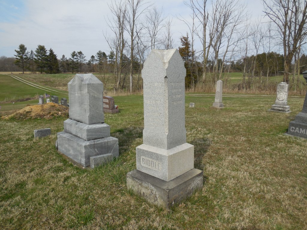
Biddle (Biddle Mills) – Sandusky Township, Crawford County
Post Office: 1880 – 1904
Location: 40.840389, -82.818306
on Biddle Rd (Township Hwy 44) at the intersection of Loss Creek Rd (Township Hwy 178) along Loss Creek and the Sandusky River
Remnants: 1. Loss Creek (Lutheran Evangelical) Church at the GPS coordinates – 2. Biddle Cemetery 1 1/2 miles southeast of the GPS coordinates on south side of Remlinger Rd (Co Hwy 49)
Description: The town was founded by Reverend Alex Biddle (1809 – 1898) who owned a 160-acre farm in the northwest corner of the intersection of Biddle Rd and Remlinger Rd. In the mid-1800s, there was a grist mill along the Sandusky River just southwest of Biddle Cemetery on land owned by the Robinson family and a saw mill next to Loss Creek just northwest of the Lutheran Evangelical church on land owned by the Kaler family. A school (Sandusky Township No. 5) was on the south side of Biddle Rd across from the Biddle farm.
Alex preached at a United Brethren church at Biddle Cemetery which has since been lost to time. He was buried there with 3 former wives and some of his children, including John B. Biddle (1838 – 1862) who died in battle in the Civil War. The present brick structure of Loss Creek Church was built in 1905 at the same spot as the one pinpointed on earlier maps. Biddle’s postmasters over the years were J. Parr, Thomas S. Dewalt, Isaac Kietler, S. S. Elberson, and Guy E. V. Fry.
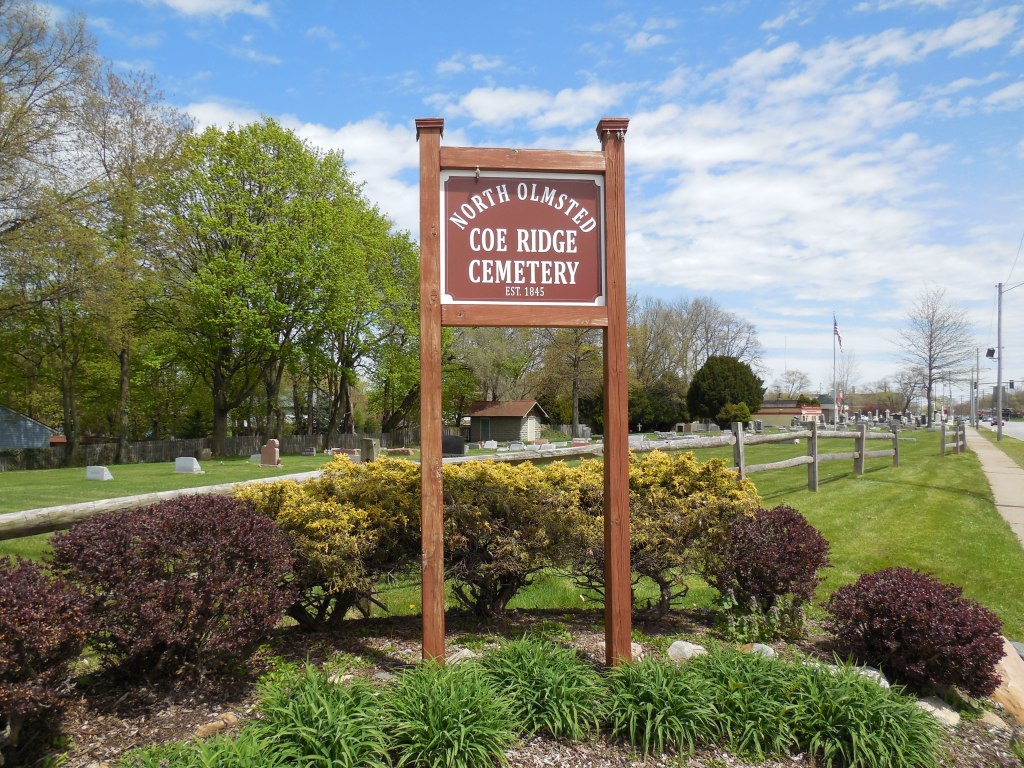
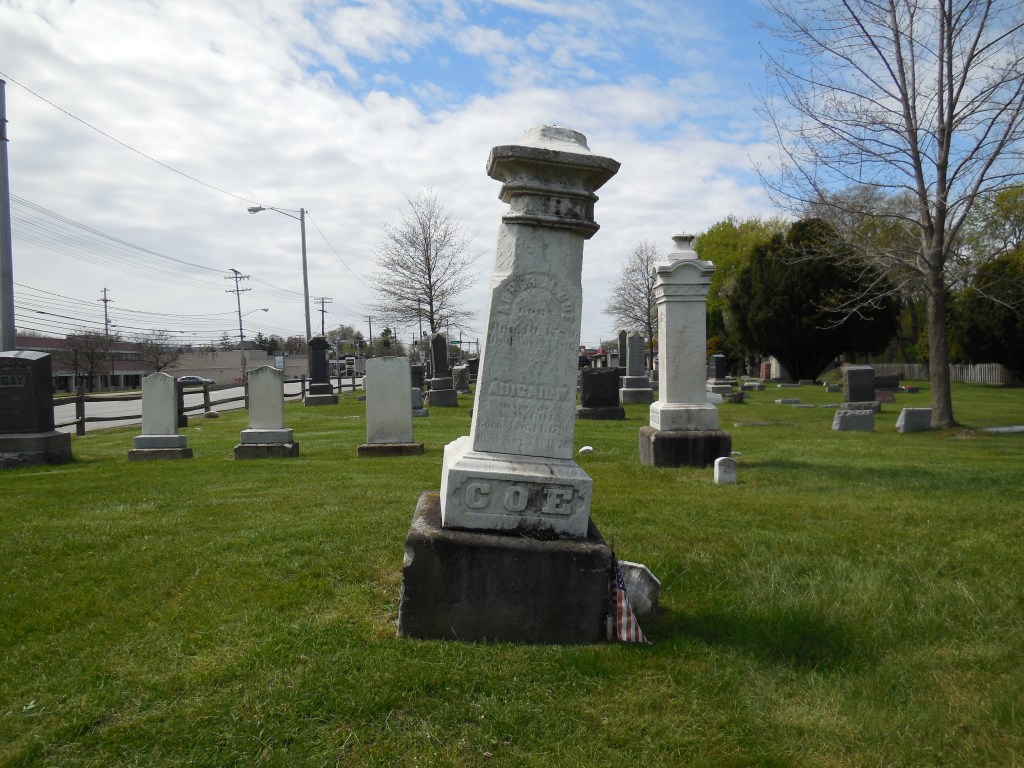
Coe Ridge – City of North Olmsted, Cuyahoga County (formerly in Dover Township)
Post Office: 1844 – 1900
Location: 41.426615, -81.894726
on SR 10 (Lorain Ave) at the intersection of SR 252 (Columbia Rd)
Remnants: Coe Ridge Cemetery on SR 10 at the intersection of Walter Rd
Description: Asher Coe (1789 – 1867) and Abigail (Wilcox) Coe (1790 – 1876) were married in Connecticut in 1814, had a few children, and moved to Ohio in 1823. They bought a farm and founded Coe Ridge in 1824. A school was on the north side of SR 10 just west of the GPS coordinates. The post office was on the Coe farm in the northeast corner of the intersection with Asher serving as the first postmaster until 1864. The other known postmasters were Harlow Robinson, Andrew C. Coe, Herbert S. Nelson, and Harriet O. Carpenter. Coe Ridge also had a hotel, grocery store, church, and many residences and small businesses lined along SR 10 and SR 252.
In the late 1800s, SR 10 was the Dover & Rockport Plank Road. The grocery store was pinpointed in the 1874 county on the south side of SR 10 just east of the cemetery. It was owned by Horace D. Landphair (1824 – 1904) from Madison County, New York and Julia Ann (French) Landphair (1833 – 1909) from Orange County, Vermont. They had a few children and later moved to Lake County where they were buried with relatives in Evergreen Cemetery on Main St in Painesville. Asher and Abigail were laid to rest with relatives and other early pioneers from the area in Coe Ridge Cemetery which was officially established in 1845. Some other residents were laid to rest 2 miles south of the GPS coordinates in Butternut Ridge Cemetery on the north side of Butternut Ridge Rd.
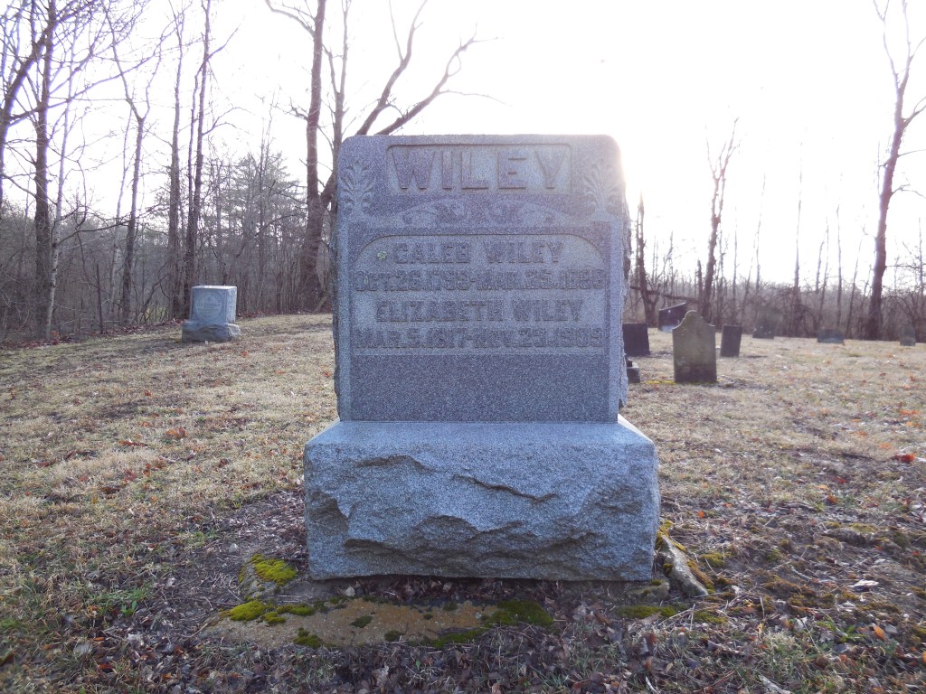
Wiley (Wiley Station) – Harrison Township, Darke County
Post Office: 1864 – 1904
Location: 39.935119, -84.759922
on Braffettsville – North Rd at the intersection of Wiley Rd
Remnants: 1. Providence Cemetery on the south side of Wiley Rd just east of the GPS coordinates – 2. old houses and farm buildings in the area
Description: Wiley Station was on the Pittsburgh, Cincinnati, Chicago, & St. Louis Railroad (Panhandle Route) and was founded by Caleb Wiley (1799 – 1888) from Rockbridge County, Virginia and Elizabeth (Sprowl) Wiley (1817 – 1909) from Preble County. They got married in 1838, had 7 children, owned a saw mill, and donated land for the train station. The town also had a Protestant church at Providence Cemetery and a school (Harrison Township No. 2) on the east side of Braffettsville – North Rd about 1/3 of a mile south of the GPS coordinates.
Its known postmasters were Hiram C. Brawley, M. J. Wiley, G. W. Wiley, L. W. Hinmon, William Smith, and Emanuel Timmons. The train tracks are long gone, but the railroad path can still be seen on satellite maps just west of the GPS coordinates. Caleb and Elizabeth were buried with relatives and other residents in Providence Cemetery. Caleb’s parents, Revolutionary War veteran Joseph Wiley (1766 – 1822) and Mary (McCampbell) Wiley (1770 – 1855), previously settled in the area and were also laid to rest in the cemetery.
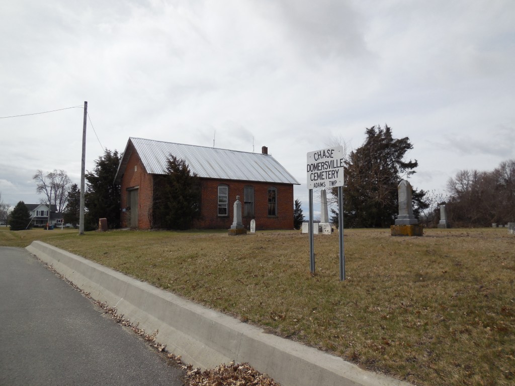
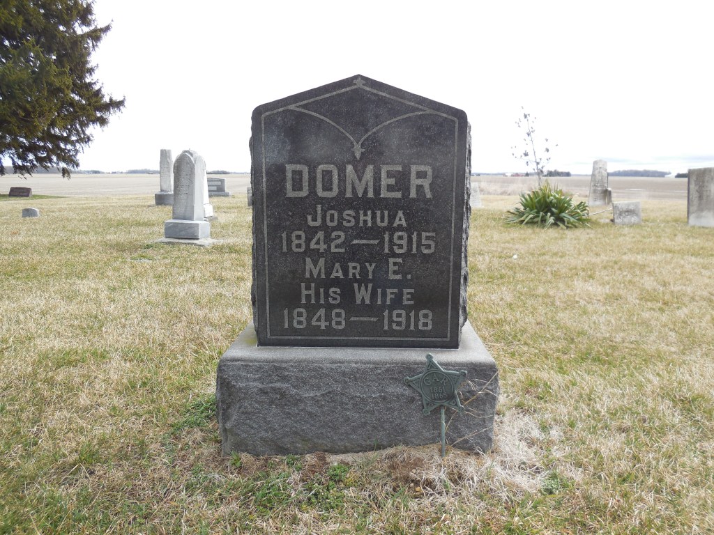
Domerville (Domersville) – Adams Township, Defiance County
Post Office: 1892 – 1899
Location: 41.384162, -84.324039
on Domersville Rd at the intersection of Coressel Rd
Remnants: 1. Domersville (Chase) Cemetery on the west side of Domersville Rd just south of the GPS coordinates – 2. former one-room schoolhouse next to the cemetery – 3. old houses and farm buildings in the area
Description: It was founded by Civil War veteran Joshua Domer (1842 – 1915) from Pickaway County and Mary (Sullivan) Domer (1848 – 1918). Joshua was the first known postmaster and Henry J. Cupp (1866 – 1945) from Marion County was the last known postmaster. Henry was buried with relatives and other residents 2 1/2 miles southeast of the GPS coordinates in Saint Michaels Catholic Cemetery on the west side of Moser Rd (Co Hwy 181). A blacksmith shop owned by Charles M. Seibert (1857 – 1910) and Mary (Weaver) Seibert (1859 – 1923) was in the southwest corner of the intersection. They got married in 1882, had 11 children, and were also buried in Saint Michaels Catholic Cemetery.
The former school (Adams Township No. 4) and Domversville Cemetery predate the existence of the town. The cemetery was established on a farm owned by county pioneers Charles G. Chase (1815 – 1862) from Nantucket County, Massachusetts and Charlotte (Felton) Chase (1822 – 1860). Charles worked on whaling ships for about 12 years before marrying Charlotte in 1841 and subsequently moving to their farm. They were buried with relatives in the cemetery. Joshua and Mary Domer had a few children and were laid to rest with with relatives in Poplar Ridge Cemetery 3 1/3 miles southeast of the GPS coordinates on the east side of Adams Ridge Rd.
Coles Mills – Troy Township, Delaware County
Post Office: 1841 – 1856
Location: 40.397626, -83.041113
on the west side of Horseshoe Rd (County Rd 220) along Delaware Lake
Remnants: Marlborough (Marlboro) Church and Cemetery 2 miles south of the GPS coordinates at the intersection of Horseshoe Rd and Leonardsburg Rd (County Rd 221)
Description: The town was founded by Joseph Cole (1775 – 1849) from New York and Mary (Curren) Cole (1778 – 1865) from Ireland. They made the journey to Ohio from Virginia in 1808, were early pioneers in the county, and had a few children. The first Baptist congregation in the county formed in the area in 1810. Joseph became a deacon, holding meetings in the Cole family cabin until 1819 when a log church was constructed with timber from the Cole property. Joseph built the first saw mill in the township in 1820, followed by a grist mill in 1823. They were on the Olentangy River, called Whetstone Creek at the time, just west of the GPS coordinates.
The log church was dismantled in 1836 and moved to the Cole farm where it was used as a barn. A new frame church was constructed on the Cole farm near the GPS coordinates and was used until 1873 when a large brick church was built at a cost of $3,300. It was destroyed by a tornado in 1916 and was replaced later that same year by the present frame structure. The location of Marlborough Cemetery was also originally at the old church site. Both the cemetery and church were relocated in 1950 by the U.S. Army Corps Of Engineers during construction of the Delaware Dam. It’s uncertain if the exact locations of the saw mill, grist mill, former church, and cemetery were submerged by the creation of Delaware Lake in 1951. Some of the land in that area flooded and some was spared from the potential watery demise.
Joseph and Mary Cole were buried with many relatives in Marlborough Cemetery, including one of their sons, Hugh Cole (1807 – 1887). Hugh once saved his father from downing at the mill dam site while repairs were being made. Joseph dislocated his right arm after falling off the dam and luckily caught the submerged branches of a sycamore tree through the swiftly moving waters. Hugh rushed in with a dugout canoe to grab Joseph who later stated he wouldn’t have been able to hang on much longer. In 1832, Hugh saved another man named Thomas Willey who capsized over the dam in a dugout along with Nathaniel Cozard. Hugh entered the water on horseback and caught Thomas by his hair as he was going under, likely for the last time. Nathaniel was found dead about a mile downstream.
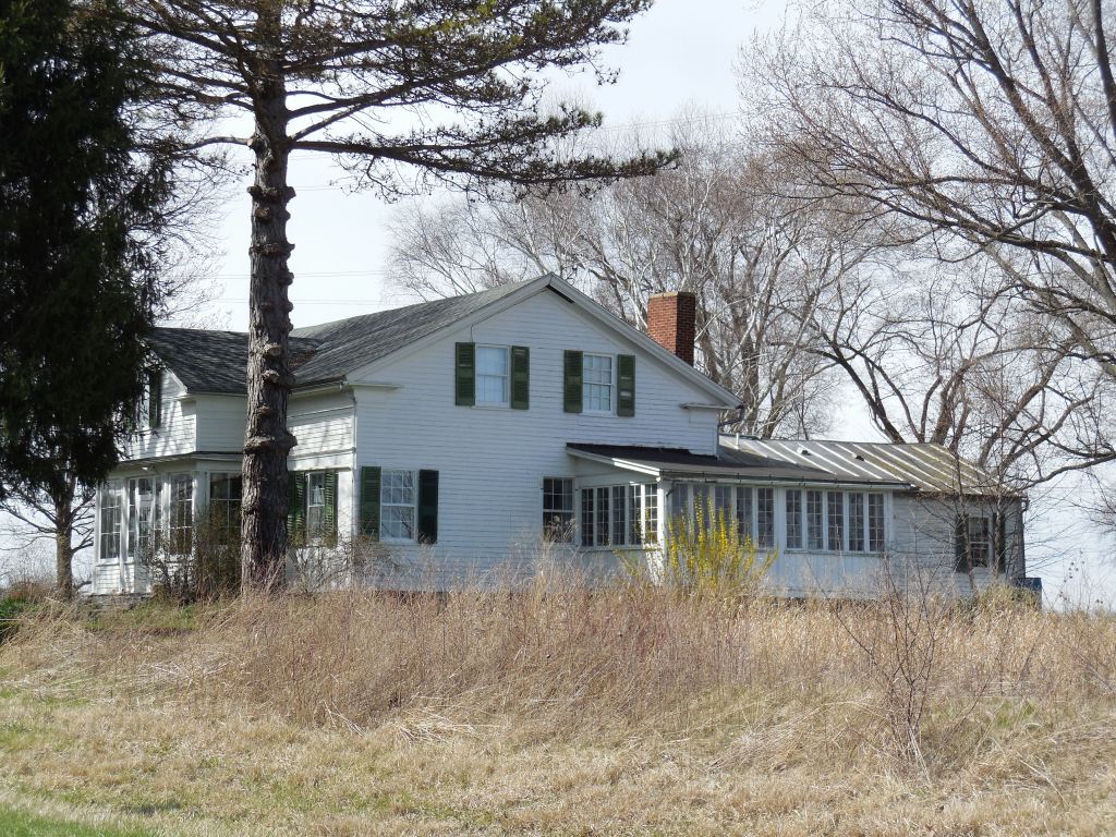
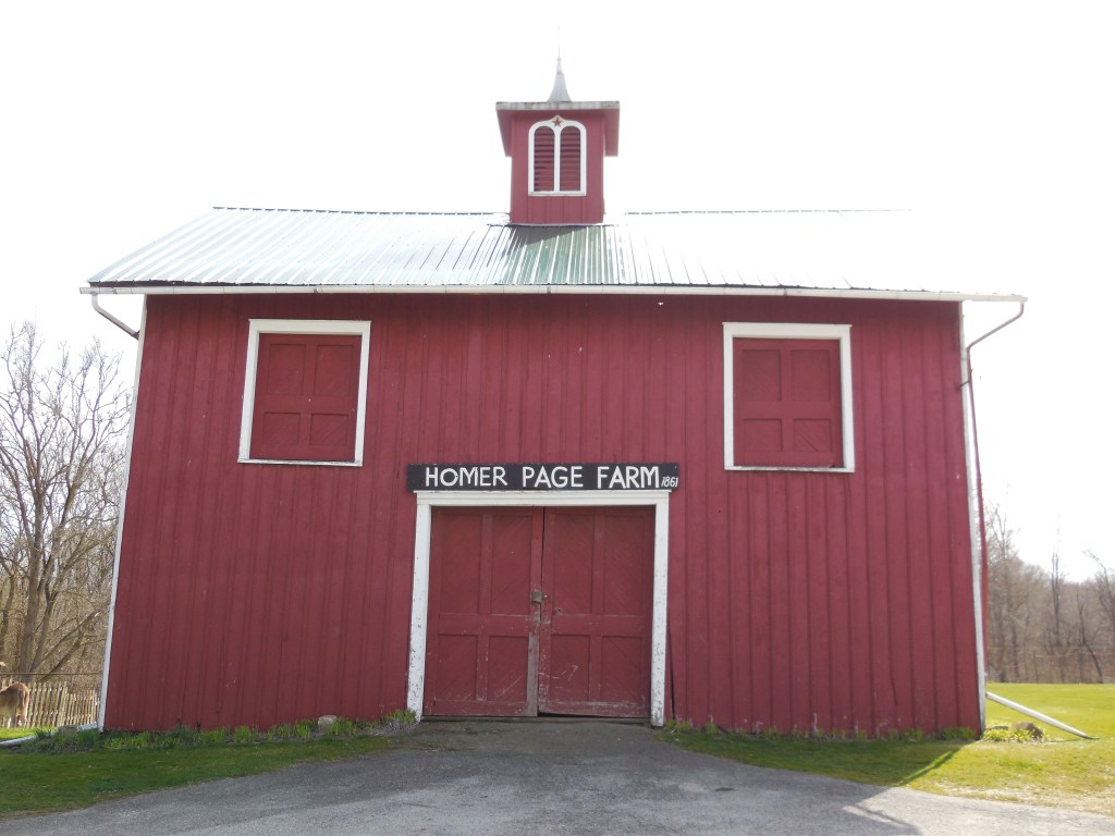
Abbott’s Bridge (Abbott Crossing) (Wards Landing) (Page’s Corners) (Fries Landing) – Milan Township, Erie County (formerly Avery Township, Huron County)
Location: 41.336538, -82.578962
on Mason Rd E between SR 13 (Mudbrook Rd) and the Huron River
Remnants: 1. Abbott – Page House on the north side of Mason Rd E just west of the GPS coordinates and Homer Page Farm Barn across the road – 2. Milan Friends Church in the southwest corner of the intersection of SR 13 and Mason Rd E – 3. Sweet Cemetery about 1 1/4 of a mile west of the GPS coordinates on the south side of Mason Rd E
Description: The original proprietors were David Abbott (1766 – 1822) and Mary (Brown) Abbott (1770 – 1849) from Worcester County, Massachusetts. They had at least 4 children and purchased 1,800 acres of farmland which stretched on both sides of the Huron River. The Abbotts built the first wood frame barn and house in the township in 1810. David served in several public offices in the township and county and also served in the state legislature. He began construction of the Abbott – Page house in 1820. It was completed in 1824 by a son of David and Mary, Benjamin W. Abbott (1787 – 1854). The house was added to the National Register of Historic Places in 1975.
Jared Ward (1767 – 1857) from Hampden County, Massachussetts was the next town proprietor. He purchased some land from the Abbotts just north of the GPS coordinates in 1809 and was a successful farmer. Jared was buried with relatives and other residents in Sweet Cemetery. Homer P. Page (1826 – 1897) from Franklin County, Vermont and Marion (Edison) Page (1831 – 1900) from Elgin County, Ontario, Canada purchased the Abbott house in 1861. Marion was an older sister of inventor Thomas Edison (1847 – 1931) who frequently visited the house.
Valentine Fries (1826 – 1900) was the last proprietor and owned a ship building yard in the 1870s and 1880s along the Huron River just east of the GPS coordinates. It was pinpointed in the 1874 county atlas along with a school at the present location of Milan Friends Church. The current church structure was the last public building constructed in the town. In the late 1800s to early 1900s, the New York, Chicago, & St. Louis Railroad (Nickel Plate Rd) and the Wheeling & Lake Erie Railroad crossed paths on the east side of the Huron River a mile southeast of the GPS coordinates. David and Mary Abbott’s burial locations are unknown, but everyone else mentioned in this listing aside from Jared Ward was laid to rest with relatives in Milan Cemetery 4 miles south of the GPS coordinates on S Edison Dr in Milan.
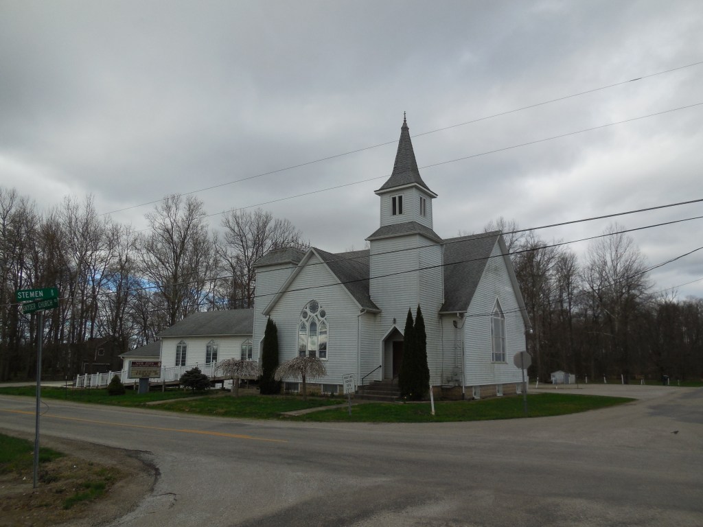
Sniders (Snyders) – Liberty Township, Fairfield County
Location: 39.887768, -82.641918
on Snyder Church Rd NW at the intersection of Stemen Rd
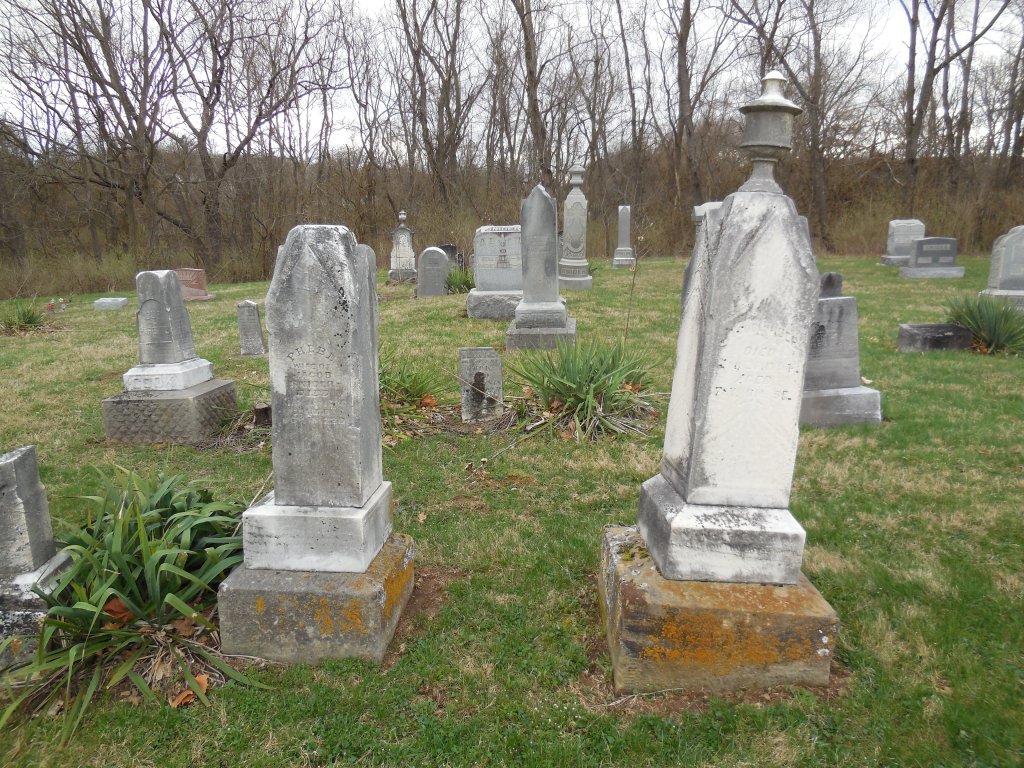
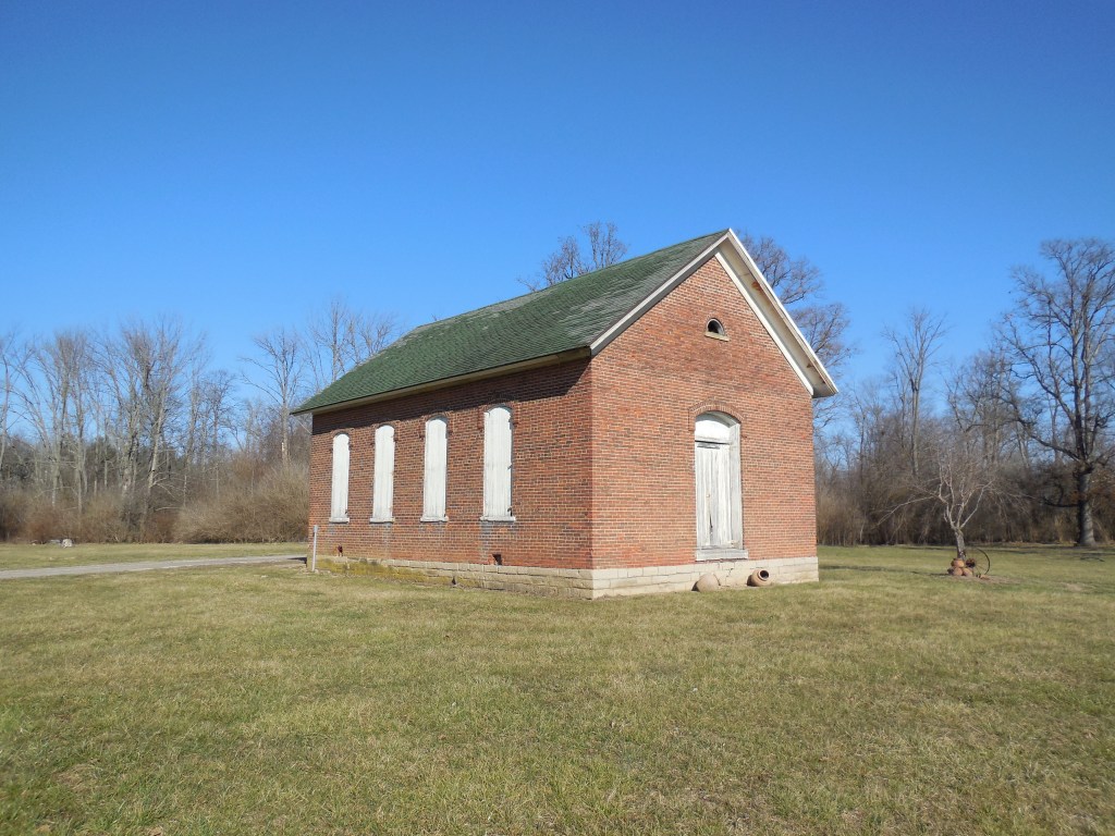
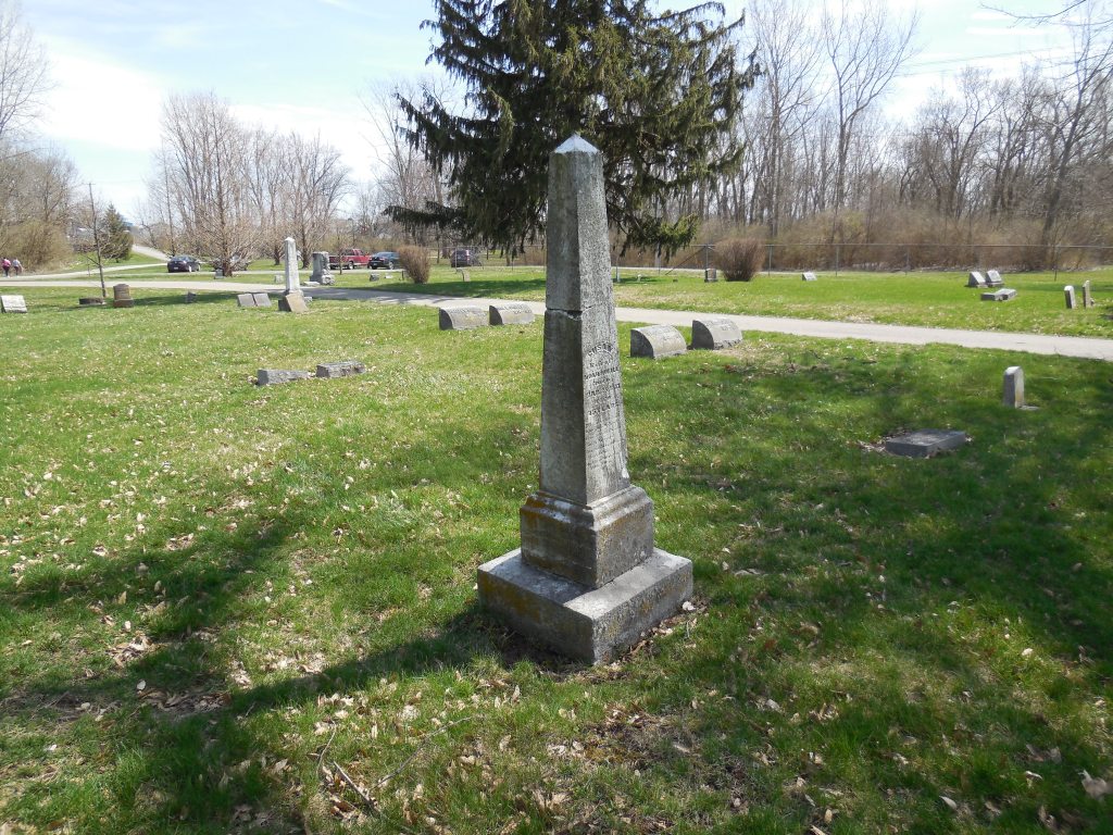
Remnants: 1. New Zion United Methodist Church at the intersection – 2. Union Evangelical (New Zion / Snider) Cemetery on both sides of Snyder Church Rd NW about 1/3 of a mile south of the GPS coordinates – 3. former one-room schoolhouse 1 1/2 miles southeast of the GPS coordinates on Bickel Church Rd NW
Description: The town was founded by Swiss immigrant Jacob Snider (1815 – 1894) and Phebe (Brumbach) Snider (1820 – 1886). Phebe’s paternal grandfather, Johann Brumbach, was a German immigrant and Revolutionary War veteran. He passed away in Virginia. The Snider family owned most of the land surrounding the GPS coordinates in the mid to late 1800s, with Jacob and Phebe’s farms totaling over 700 acres at one point. They were buried with many relatives and descendants in Union Evangelical Cemetery.
The former one-room schoolhouse (Liberty Township No. 8) next to St. Michael’s United Church of Christ appears to be in excellent preserved condition. The church was formerly across the road with a wood frame structure at the cemetery and was later replaced with the present brick church. New Zion United Methodist Church was originally in the opposite corner of the intersection. Its impressive wood frame building was constructed in 1897. There were also several other churches and one-room schoolhouses on the outskirts of town throughout the mid to late 1800s.
Convenience – Wayne Township, Fayette County
Post Office: 1840 – 1902
Location: 39.500137, -83.360149
on US 35 at the intersection of Camp Grove Rd
Remnants: former one-room schoolhouse in the northwest corner of the intersection
Description: Convenience was on the Toledo, Delphos, & Burlington Railroad (later the Cincinnati, Hamilton, & Dayton Railroad). Its original proprietors were Noah Hukill (1805 – 1887) from Ohio County, West Virginia (formerly in Virginia) and Susan (Smith) Hukill (1801 – 1877) from Pittsburgh, Pennsylvania. They got married in Fayette County in 1831, had 5 children, and ran a stagecoach stop tavern and inn prior to the arrival of the railroad in the area. The school land was donated by War of 1812 veteran James Bryant (1787 – 1848) from Virginia and Catharine (Eyeman) Bryant (1792 – 1869) around 1844. German Baptist church services were held in the school until a wood frame church was constructed in the southwest corner of the intersection in 1853 – 1854.
The church has since been lost to time, but the town’s last one-room schoolhouse in the northwest corner of the intersection appears to be in decent preserved condition for its age. A son of Noah and Susan, William R. Hukill (1834 – 1904) and his wife Mary (Kelso) Hukill 1836 – 1909), took on proprietorship of the town in the mid to late 1800s. They got married in 1858 and had 3 children. War of 1812 veteran and county pioneer John H. DeWitt (1785 – 1855) from Clark County, Kentucky was the first postmaster. William was appointed to the postmaster position after John passed away. He also served as justice of the peace and the train station attendant. The post office was discontinued from the late 1860s to mid-1880s, and William again held the postmaster position until the office was discontinued.
The train tracks ran through the northern side of town and its former bed is now part of the Paint Creek Recreational Trail, a 35-mile paved path running from Washington Court House to Chillicothe in Ross County. The Hukills were buried in Washington Cemetery about 5 1/2 miles northwest of the GPS coordinates on US 22 in Washington Court House. James Bryant was laid to rest in Bryant – Eyeman Cemetery on private property 2 miles southeast of the GPS coordinates on the east side of Boyd Rd SE (Co Hwy 149) along Mills Branch. Catharine Bryant moved out of state with some of their children and was buried with relatives in Rice Cemetery on the western end of 40th St in Morning Sun, Iowa. Descendants of the family still live on the old homestead farm there. John Dewitt was buried with relatives in DeWitt Cemetery about 1 1/4 miles northwest of the GPS coordinates on private property on the north side of the Paint Creek Recreational Trail.
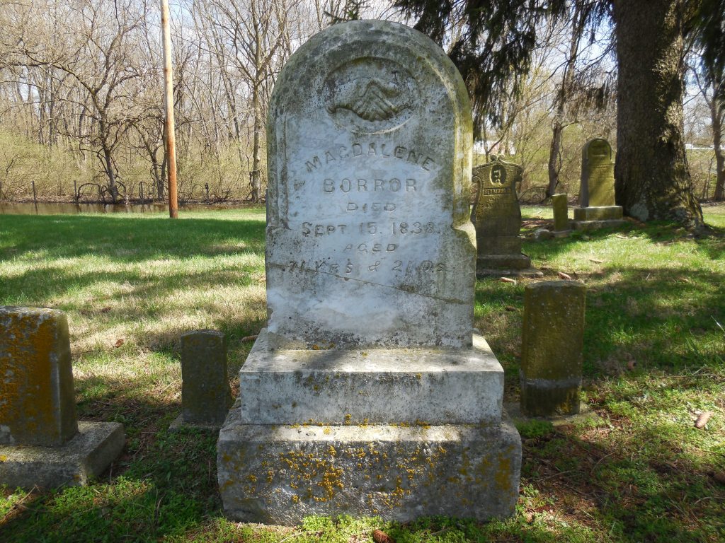
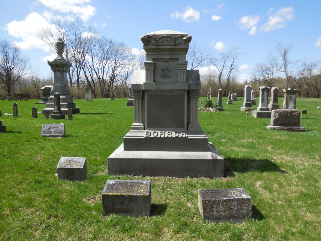
Borrors Corners – Jackson Township, Franklin County
Post Office: 1894 – 1900
Location: 39.825405, -83.032575
on SR 665 (London – Groveport Rd) at the intersection of SR 104 (Jackson Pike) along Plum Run
Remnants: 1. historical marker on the southeast side of the intersection, Scioto Cemetery on the south side of Hiner Rd off of SR 104 – 2. many old houses and farm buildings in the area
Description: Magdalene (Strader) Borror (1767 – 1838) from Virginia was the widow of Revolutionary War veteran Jacob Borror Jr. (1763 – 1804). She moved to Ohio with her 7 children and settled on 400 acres of land surrounding the GPS coordinates given to her by her parents in 1809 – 1811. The family became successful in farming and merchandising and was very influential in Jackson Township for over 100 years. Borrors Corners had a grocery store in the northwest corner of the intersection and a blacksmith shop in the northeast corner of the intersection. The first school was on the east side of SR 104 in the mid-1800s. It was replaced with a newer school across the road prior to publication of the 1872 county atlas.
There was a Union church near Scioto Cemetery on the west side of SR 104 just south of Hiner Rd. That church was gone by publication of the 1872 county atlas which pinpointed Scioto Christian Church about halfway between Hiner Rd and the new school. Magdalene was laid to rest with many relatives in Scioto Cemetery. The cemetery wasn’t officially established until 1886, but its burials go back much further. For a small cemetery, it features an astonishing amount of large and ornate gravestones and memorials for the Borrors. It goes to show how prominent they were and the impact they made on the area. More of the family’s ancestors and descendants can be found in Concord Cemetery on Hoover Rd south of SR 665, Grove City Cemetery, and Green Lawn Cemetery in Columbus.
Batdorf – York Township, Fulton County (formerly in Lucas County)
Post Office: 1888 – 1901
Location: 41.544269, -84.076290
on County Rd E at the intersection of Co Rd 11
Remnants: Zion United Methodist Church and Cemetery 1/2 of a mile south of the GPS coordinates on the west side of Co Rd 11
Description: John Batdorf (1818 – 1895) from Pennsylvania and Elizabeth (Morgan) Batdorf (1819 – 1896) from Virginia lived in Wayne County for a few years before moving to Fulton County in 1842. They had a large family and donated land for a school in the mid-1800s on their 160-acre farm on the east side of the GPS coordinates. It was replaced by a couple of local schools prior to publication of the 1888 county atlas, York Township No. 6 a mile south of the GPS coordinates and York Township No. 7 a mile north of the GPS coordinates.
The Zion congregation formed as the Batdorf Class in 1867. Their early meetings were held in the school until the present church structure was completed in 1869. The church has added extra rooms and been remodeled a few times over the decades to maintain its growing congregation. John and Elizabeth were buried with many relatives and other residents in Zion Cemetery. An alternative spelling of the surname is Batdorff. The known postmasters were E. E. Batdorf, Emanuel D. Batdorf (1839 – 1894), and Russell B. Batdorf (1867 – 1934).
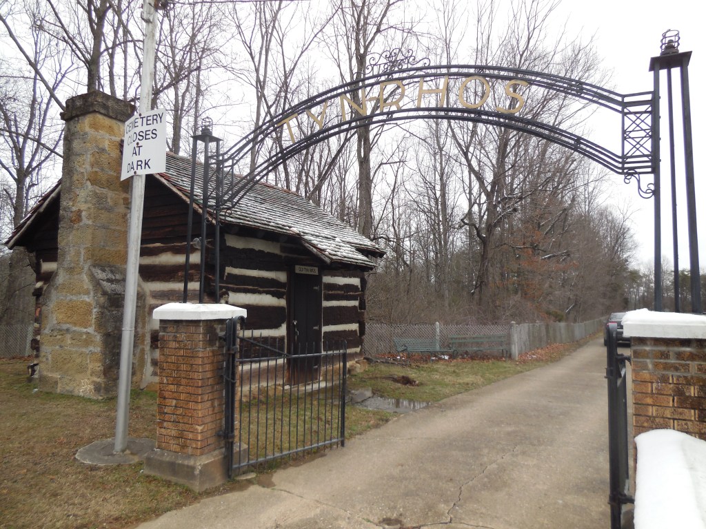
Tynrhos (Tyn Rhos) – Perry and Raccoon Township, Gallia County
Location: 38.853878, -82.412844
on Tyn Rhos Rd (Co Rd 46) between Cherry Ridge Rd and Centerpoint Rd
Remnants: Tyn Rhos Church and Cemetery at the GPS coordinates
Description: The town was founded by David Thomas and Jessie Dinah (Gray) Thomas who moved to the U.S. from Wales and settled in Gallia County in 1837. It was named after the farm David was born on in Wales, which is still in existence, and translates to “house on the moor”. David and Jessie donated land for the church and cemetery. The original log structure was completed in 1841 and was the first Welsh church in the state. It was replaced by the current wood frame building in 1850. The present church was restored in 1970 and has a historical marker with more info. A replica of the original log church is also at the site. The ghost town sits along the Welsh Scenic Byway, a 64-mile route through Gallia and Jackson County which highlights the heritage of the Welsh culture in southeast Ohio.
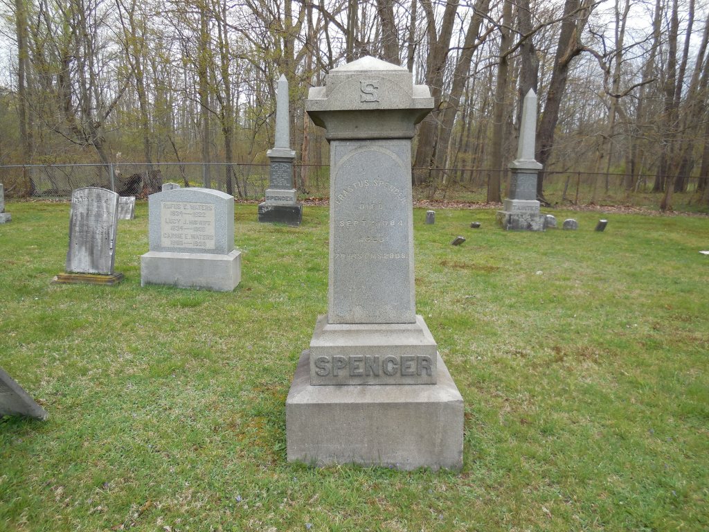
Spencer Corners – Claridon Township, Geauga County
Location: 41.540333, -81.179841
on Aquilla Rd (Co Rd 5) at the intersection of Spencer St
Remnants: 1. former one-room schoolhouse in the southeast lot of the intersection – 2. West Claridon Cemetery on the east side of Aquilla Rd (Co Rd 5) south of SR 322 – 3. old houses and farm buildings in the area
Description: Around the corner from Kelloggs Corners, Spencer Corners was founded by Colonel Erastus Spencer (1805 – 1884) and Julia (Kellogg) Spencer (1810 – 1891). Erastus served in the state militia and achieved the rank of colonel in 1833. He married Julia the following year and had 6 children. Erastus served as county sheriff from 1840 – 1844. Tragically, 3 of the Spencer children died of sickness at young ages within 10 days of each other in July of 1849. The Spencers donated the land for the school (Claridon Township No. 1), which is currently a private residence, and also owned a cheese factory on the west side of Aquilla Rd north of the GPS coordinates and a chair factory across the road. They were all pinpointed in the 1874 county atlas.
Erastus and Julia were buried with relatives and local residents in West Claridon Cemetery. Parking troubles when visiting ghost town cemeteries is to be expected. West Claridon Cemetery and many others in this book are no exception to that with rudimentary single-space parking or having to walk from the closest available and logically legal spot. I think communities in general do want residents and visitors to enjoy and respect history, but they don’t normally go out of their way to make it accessible aside from maintenance reasons which I also agree is of more importance and greatly appreciate.
Caesars Creek (Cherry Grove) – New Jasper Township, Greene County
Location: 39.679549, -83.78263
on Cherry Grove Rd between Old US 35 and Junkin Rd
Remnants: 1. Caesar Creek (Cherry Grove) Cemetery at the GPS coordinates – 2. former one-room schoolhouse in the northwest corner of the intersection of Cherry Grove Rd and Junkin Rd about 3/4 of a mile east of the GPS coordinates – 3. old houses and farm buildings in the area
Description: This small farming and pioneer town was founded in the early 1800s. Known burials in the cemetery date back as early as 1810. On the 1855 county map, there was a Presbyterian church pinpointed across the road from the cemetery. The Cherry family is listed with 2 farms just south of the cemetery and the Junkin family had a saw mill along North Branch Caesar Creek. Irish immigrant and Revolutionary War veteran Lancelot Junkin (1753 – 1833) and Martha (Galloway) Junkin (1752 – 1830) were the patriarch and matriarch of the family in Ohio and were buried with relatives in the cemetery.
The former one-room schoolhouse has been converted to a private residence and was on land donated by William Junkin (1818 – 1898) and Elizabeth (Walker) Junkin (1833 – 1921). They got married in 1858 and their former large 2-story residence still stands on Cherry Grove Rd just west of the school. William and Elizabeth were buried with relatives 3 3/4 miles southeast of the GPS coordinates in Old Silver Creek Cemetery on the east side of SR 72 in Jamestown. Another large 2-story wood frame house in the northwest lot of the intersection of Old US 35 and Cherry Grove Rd was originally owned by the Cherry family. Both of the houses were also pinpointed on the 1855 county map

Divide – Washington Township, Guernsey County
Post Office: 1890 – 1904
Location: 40.182918, -81.358242
on Titus Rd (County Rd 878) at the intersection of Lodge Rd
Remnants: Chestnut Hill United Brethren Church and Cemetery on the north side of the GPS coordinates
Description: It was a small farming and postal town. The church was constructed during the Civil War. John Dugan was the first postmaster. He was succeeded by John T. Daugherty (1852 – 1932) who was buried with relatives in Pleasant Hill Cemetery on Candy Rd. Elijah L. Bair (1853 – 1934) was the last postmaster and was also laid to rest in Pleasant Hill Cemetery. The most prominent gravestone in Chestnut Hill Cemetery is that of Reverend Timothy Taylor Titus (1829 – 1910) from Harrison County and Nancy Jane (Cope) Titus (1828 – 1912).
It’s a neat drive to the location along the county’s sparsely populated gravel back roads. This was one of a few occasions when I did get lost while trying to figure out my hand-written directions. I believe on a journey such as this, though, if you don’t get lost at least a few times, you’re doing something wrong. At times like that, it’s best to just enjoy taking in the scenery and solitude of the landscape and get your mind back on track before getting your vehicle back on the track it’s supposed to be on.
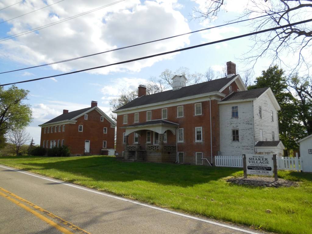
Shaker Village (White Water Village) (Whitewater) – Crosby Township, Hamilton County
Location: 39.302256, -84.749772
on Oxford Rd along Dry Fork Creek between Race Land Rd and New Haven
Remnants: 1. Upper Village buildings on the west side of Oxford Rd at the GPS coordinates – 2. Lower Village office with a historical marker and other buildings on both sides of Oxford Rd a mile south of the GPS coordinates – 3. Shaker (Shaker Town) Cemetery and stone historical marker on the west side of Oxford Rd about 1/4 of a mile south of the Lower Village buildings
Description: It was established in 1823 by a group of 18 members of the United Society Of Believers (also known as Shakers) who moved to Crosby Township from New Lebanon, Montgomery County. The village increased with 40 more members in 1824. Brick and wood frame houses were quickly raised to accommodate them and more land was purchased as needed. A group of 70 Second Adventists from Cincinnati doubled the size of the Shaker society in 1846. It split into an upper and lower village by publication of the 1847 county map.
The Upper Village on Oxford Rd just south of the township border was the location of the church and has several buildings from the mid-1800s which remain intact. A wood frame Lower Village office was built in 1855 and is intact along with a couple of other buildings, including what appears to have been the carpenter shop built in 1853 on the north side of the office. The Lower Village was also the location of a blacksmith shop, sorghum mill, and a school. They were all pinpointed in the 1869 county atlas. Although the membership numbers rose and fell several times during the remainder of the 1800s, the Shaker’s land holdings kept growing and reached a peak of 1,300 acres in the mid-1890s with about 60 members. From then on, the membership dwindled and the town was eventually disbanded. The last residents left in 1916.
The buildings they left behind are impressive looking, to say the least, and almost seem to pop out of nowhere from the rural landscape along that stretch of Oxford Rd. Burials in the cemetery just south of the buildings date from 1827 – 1916. The Shaker Trace Trail is an 8-mile paved recreational path which loops around the site. Parking is available in the Miami Whitewater Forest lot on Harbor Ridge Dr off of Mt Hope Rd on the south side of New Haven about 3 miles south of the GPS coordinates. The Friends of White Water Shaker Village, Inc. currently coordinates preservation efforts and events at the site.
Village Info – whitewatervillage.org

Clements (Clement) (Swank) – Eagle and Jackson Township, Hancock County
Post Office: 1845 – 1866 and 1882 – 1884
Location: 40.957598, -83.650563
on US 68 at the intersection of Trail 40 (Township Hwy 40)
Remnants: 1. Pleasant Grove United Brethren Church at the intersection of Co Rd 40 and Co Rd 75 next to Eagle Creek – 2. Ellis Cemetery on the north side of Trail 40 east of the GPS coordinates – 3. Bishop Cemetery on the west side of Trail 74 about 1 1/2 miles southwest of the GPS coordinates
Description: The original proprietors were Amos Crum (1803 – 1854) and Rebecca (Strouse) Crum Riggle (1810 – 1862) who arrived in the area in 1833 and had a few children. Amos was the first postmaster. Rebecca took on the position after he passed away and later remarried. The office moved back and forth between Eagle and Jackson township a few times over the years. John Swank (1816 – 1886) was the last postmaster of the Clement office and opened another one at his store called Swank. It ran from 1882 – 1884. He also owned a steam-powered saw mill in the northeast corner of the intersection and a blacksmith shop across the road in the southeast lot.
Most of the residents attended Pleasant Grove United Brethren Church which first appeared in the 1875 atlas. The last school the town had was on the north side of Trail 40 just east of the GPS coordinates on land owned by Asa Ellis (1819 – 1904) and Maria Ellis (1823 – 1903). Amos, Rebecca, and John Swank were buried with relatives in Bishop Cemetery. Asa and Maria were buried with relatives in Ellis Cemetery.

Blocktown – Washington Township, Hardin County
Post Office: dates not listed
Location: 40.746944, -83.690603
on Locker Rd (Co Rd 60) at the intersection of Co Rd 115
Remnants: 1. St. John’s Lutheran Church at the GPS coordinates – 2. old and few abandoned houses and farm buildings in the area
Description: The town was founded in 1877 by German immigrants Charles Block (1841 – 1899) and Elizabeth Block (1843 – 1911). They owned a general store and a blacksmith shop in the northwest corner of the intersection and a saw mill and cider mill in the northeast lot of the intersection. Charles was also the town’s postmaster and the family’s enterprises employed many local residents. The 58-acre lot with the mills was sold to German immigrant William Beach (1844 – 1916) and Anna (Barcet) Beach prior to publication of the 1879 county atlas.
There were 2 local one-room schoolhouses, Washington Township No. 4 on the east side of Township Rd 105 just north of Locker Rd and Washington Township No. 3 in the northeast corner of the intersection of Locker Rd and Kaylor Rd (Township Rd 125). St. John’s Lutheran Church was organized in the early 1850s. Their first church was a wood frame structure in the southeast corner of Locker Rd and Township Rd 105, built in 1873 at a cost of $1,600. It was later replaced by the present brick structure when the congregation needed a larger building.
There are a few abandoned farmhouses in the area and all of the other old one’s are well-maintained. The structures pictured below are on the former Block and Beach homestead, but I haven’t been able to confirm their age as of yet. William and Anna Beach were laid to rest with relatives and other resident of Blocktown in Dola Cemetery 3 miles northeast of the GPS coordinates on the north side of SR 81. The Block family moved out of the state and Blocktown faded into obscurity in the early 1900s. Charles and Elizabeth had 5 children and were buried with relatives in Oak Ridge Cemetery on College Ave in Kennett in Dunklin County, Missouri.
Hellers Cross Roads – Monroe Township, Harrison County
Post Office: 1853 – 1857
Location: 40.407515, -81.201710
on Gundy Ridge Rd (County Hwy 44) at the intersection of Plum Run Rd along Plum Run
Remnants: Heller Cemetery on private property on the west side of Gundy Ridge Rd about 1/4 of a mile north of the GPS coordinates
Description: The proprietors were pioneers Henry Bowen Heller (1817 – 1881) from Greene County, Pennsylvania and Mary Anne (Weyandt) Heller (1816 – 1874) from Maryland. Henry was just a few months old when his parents made their journey to Ohio. He was a stone mason, an artillery captain in the state militia, and became a farmer later in life. Henry was also a land appraiser, township trustee, and the town’s postmaster. Hellers Cross Roads had a school, which was its only public building, about a mile northeast of the GPS coordinates on land donated by the Heller family. It was in the lot in the northeast corner of the intersection of Plum Run Rd and Hickory Rd (Township Hwy 216). Henry and Mary Anne had 7 children and were buried with relatives in Heller Cemetery, established on their original 67-acre farm. An engraving of their farm and residence, called Oakland Cottage, was included in the 1875 county atlas.
Ridgeland – Marion Township, Henry County
Post Office: 1850 – 1896
Location: 41.193889, -84.067772
on Co Rd Y at the intersection of Co Rd 10A
Remnants: 1. Marion Township Cemetery on the north side of Co Rd Y just east of the intersection – 2. old houses and farm buildings in the area
Description: Ridgeland was founded in 1841 by Samuel Hashbarger (1815 – 1859) and Anna (Rader) Hashbarger (1815 – 1889). They had a few children and Anna remarried after Samuel passed away. In 1863 George W. Edwards (1834 – 1919) and John Rayle (1831 – 1915) platted the town with 72 lots and 2 outlots. They attempted to change its name to Edwardsville. The U.S. Postal Service denied the request though as there was already an Edwardsville with a post office in Warren County. Ridgeland’s known postmasters over the years were Samuel Warwick, John Hamler, Casper Sirolff, Enoch J. Stevenson, William P. Young, and Peter Punches. Civil War veteran William P. Young (1825 – 1899) owned a 79-acre farm across the road from Marion Township Cemetery and operated a saw mill, tile factory, and stave factory which produced wood strips for barrel sides.
One of the closest local one-room schoolhouses still stands about 1 1/2 miles southeast of the GPS coordinates on the west side of Township Rd 10. It’s presently in dilapidated condition but is a neat site to see and is very photogenic. The Hashbargers, George Edwards, John Rayle, William Young, and some of the other postmasters were buried with relatives in the cemetery. Ohio is rich in one-room schoolhouse history. I would estimate that there are around an average of a dozen per county and 1,000 still standing in the state. Most of the brick ones have the same general shape and size with 3 or 4 windows going down each side. If you see one somewhere, there’s a decent chance you find another one exactly 2 miles down the road.

Gall – Brushcreek Township, Highland County
Post Office: 1895 – 1905
Location: 39.092097, -83.461115
on Sinking Spring Rd at the intersection of N Elmwood Rd along Middle Fork Ohio Brush Creek
Remnants: 1. Countryman Cemetery on the north side of Sinking Spring Rd just northwest of the GPS coordinates
Description: The proprietor James N. Gall (1864 – 1942) was a teacher, farmer, and ran a general store and post office on the farm where he was born in the northeast lot of the intersection. A school was north of the intersection on a former stretch of Armstrong Ln which crossed the creek heading south to Gall back in the day. James M. Patton (1849 – 1913), a brother-in-law of James N. Gall, took on the postmaster position until the office was discontinued. James Patton was buried with relatives in Pleasant Hill Cemetery about 5 miles west of the GPS coordinates in Sinking Spring. By 1905, the Rural Free Delivery (RFD) system for mail was being implemented across the state and getting faster with the use of automobiles.
James N. Gall was buried with relatives in Marshall Cemetery about 5 miles northwest of the GPS coordinates at the intersection of SR 124 and Herbert Rd. He was from the 5th generation of his family to reside on the homestead farm, dating back to German immigrant and Revolutionary War veteran George Gall (1766 – 1851) and Susannah (Nicholas) Gall (1764 – 1799) from Augusta County, Virginia. They were laid to rest in Old Dutch Cemetery 3 miles northeast of the GPS coordinates on the east side of Stanley Rd. The Countryman family, whose cemetery is listed as a remnant, also owned a few farms in the area.

Rockhouse (Rock House) – Laurel and Perry Township, Hocking County
Post Office: 1844 – 1907
Location: 39.494385, -82.614464
on SR 374 at the intersection of Thompson Ridge Rd (Co Rd 36)
Remnants: Rock House Park on the north side of SR 374
Description: The town was named after the cave that now sits in Hocking Hills State Park. As with many caves in Ohio, it was originally inhabited by Native Americans and was later occupied by thieves and bandits who were hiding from justice during the early years of Ohio’s statehood. They disappeared as the area became more settled and the cave acquired more honest visitors. A saw mill and grist mill next to Laurel Run along SR 374 were owned by William Loomis (1841 – 1918) and Nancy Loomis (1840 – 1915). They moved to Columbus where they were buried with relatives in Green Lawn Cemetery on Greenlawn Ave.
Businessman and Civil War veteran Lieutenant Colonel Ferdinand Frederick Rempel (1824 – 1901) from Prussia, Germany constructed a lavish 16-room hotel with a ballroom, post office, and livery stable at Rock House in 1878. He added some cabins and turned it into a popular summertime resort. The hotel fell into disrepair and was sold to the state by Colonel Rempel’s heirs in 1925. Ferdinand Rempel was buried with relatives in Oak Grove Cemetery on Jennison Ave in Logan.
Jones Corners – Richland Township, Holmes County
Post Office: 1861 – 1890
Location: 40.476635, -82.128970
on County Rd 25 at the intersection of Township Highway 13 and County Highway 75
Remnants: 1. former Jones house in the northeast corner of the intersection – 2. Union Grove Cemetery about 3/4 of a mile east of the GPS coordinates on Township Highway 2 off of County Highway 25 – 3. old houses and farm buildings in the area
Description: It was founded by William Jones (1787 – 1848) from Massachusetts and Rebecca Jones (1786 – 1868) from Pennsylvania. They had several children, accumulated a 640-acre farm, and donated land for a school in the southwest corner of the intersection of County Rd 25 and Township Hwy 26. According to the county auditor’s website, the brick farmhouse they owned was constructed in 1820 and is currently listed as being if fair condition.
William White (1815 – 1888) from Berkshire County, Massachusetts appears to have somehow been related to the family or was a very close friend. He was the town’s postmaster for the vast majority of the office’s existence and either inherited or purchased the Jones estate. Everyone mentioned in this listing was buried in Union Grove Cemetery. The present church structure was built long after Jones Corners faded into oblivion.
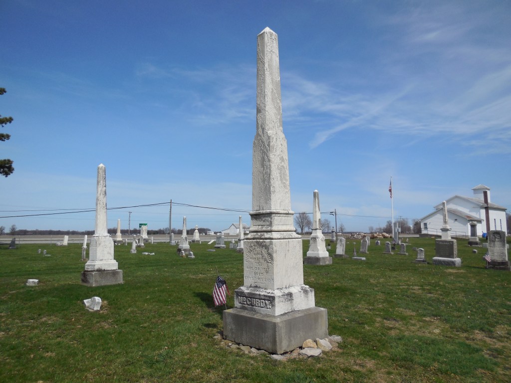
Lyme Station – Lyme Township, Huron County
Location: 41.255630, -82.764020
on Sand Hill Rd at the railroad crossing between US 20 and Opperman Rd
Remnants: Trinity Episcopal Church and Cemetery 1 mile northwest of the GPS coordinates at the intersection of US 20 and Young Rd
Description: Richard L. McCurdy (1802 – 1869) from Lyme, Connecticut and Julia Ann (Woodward) McCurdy (1806 – 1889) from New York got married in 1826, owned a large farm, and donated the land for the church and cemetery. They were both born into prominent New England families. Julia was mentioned in the preface of the 1879 History of the Fire Lands, Comprising Huron and Erie Counties, Ohio as being frequently consulted by the author. The church congregation formed in 1837. Its first wood frame structure was built in 1846 at a cost of $1,200. Unfortunately, that one was lost to a fire just 2 months later in February of 1847. The original church was replaced with another wood frame building that same year at a cost of $1,600.
A mid-1800s one-room schoolhouse was in the same spot as the town’s later schools, also on land donated by the McCurdy family. A train station was on the Lake Shore & Michigan Southern Railway. Its former track bed running through the area is now the North Coast Inland Trail, which will soon be a 105-mile paved recreational path. So far, 71 miles of it have been completed. In the later 1800s, the Wheeling & Lake Erie Railroad also rolled through town. Its tracks are still intact and in use. The last school was built in 1937 and is still standing about 1/2 of a mile northwest of the GPS coordinates on the south side of US 20. Richard and Julia were laid to rest with other residents in the cemetery
Crabtrees Mills – Scioto Township, Jackson County
Location: 38.964425, -82.777714
on Johnson Rd (Township Hwy 291) along the Little Scioto River between Spangenburg Rd and Crabtree Rd
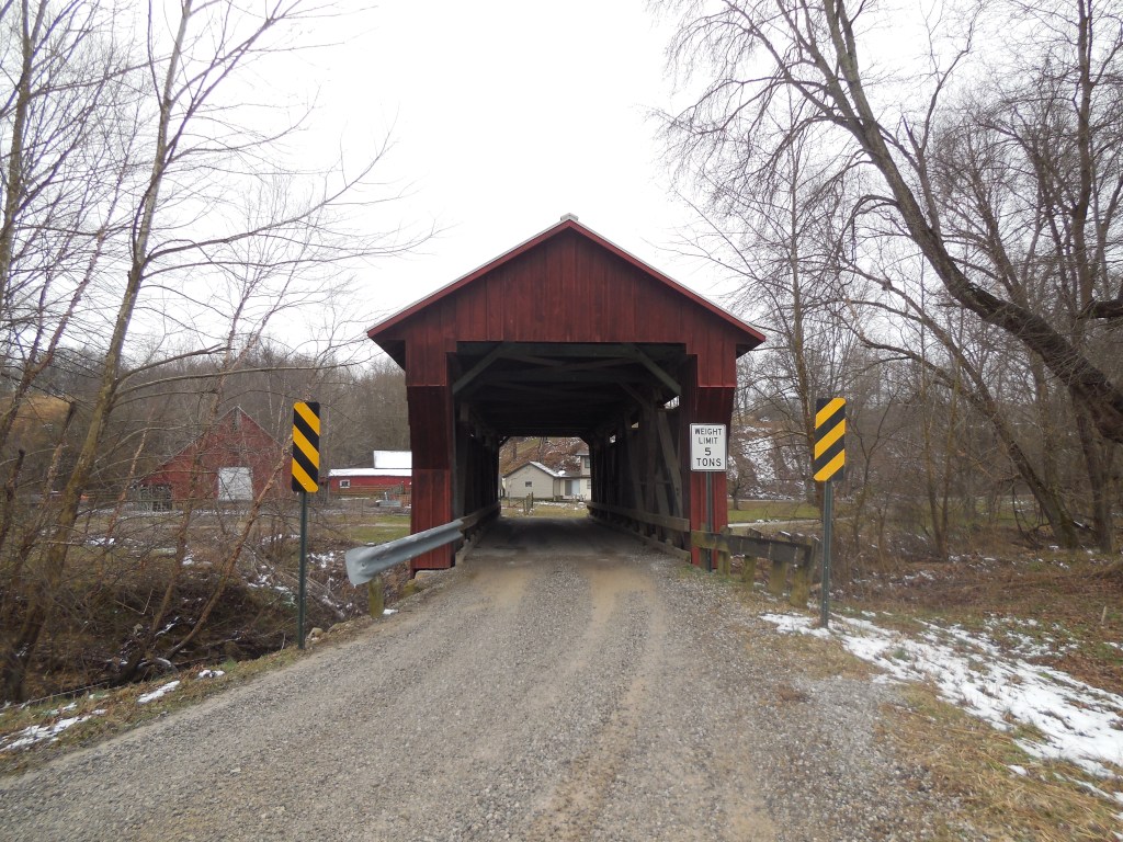
Remnants: 1. Providence Cemetery on Johnson Rd about 1/3 of a mile southwest of the GPS coordinates – 2. Johnson Road (Crabtree) Covered Bridge about 1/3 of a mile southwest of the cemetery – 3. old houses and farm buildings in the area
Description: The massive Crabtree family was one of the most well-known and prominent families in the county in the 1800s. A grist mill and saw mill constructed in 1823 next to the Little Scioto River by Colonel W. David Walton (1789 – 1850) from New Jersey was the first mill in the township. David sold the mill to Daniel White in 1829 and his family later became the first settlers of Cedar County, Iowa. Daniel sold the mill to William Crabtree (1804 – 1882) in 1834. The last owner was one of William’s sons, Enoch Crabtree (1824 – 1898). The mill was dismantled shortly after Enoch passed away.
The Crabtrees were buried in Providence Cemetery which was officially established in 1867 and also had a church that was listed in the 1875 county atlas. Johnson Road Covered Bridge, also called Crabtree Covered Bridge, was built in 1869 – 1870 by Robert W. Smith who patented the Smith Truss that was used for its construction. The bridge was added to the National Register of Historic Places in 1984 and was restored in 2000.
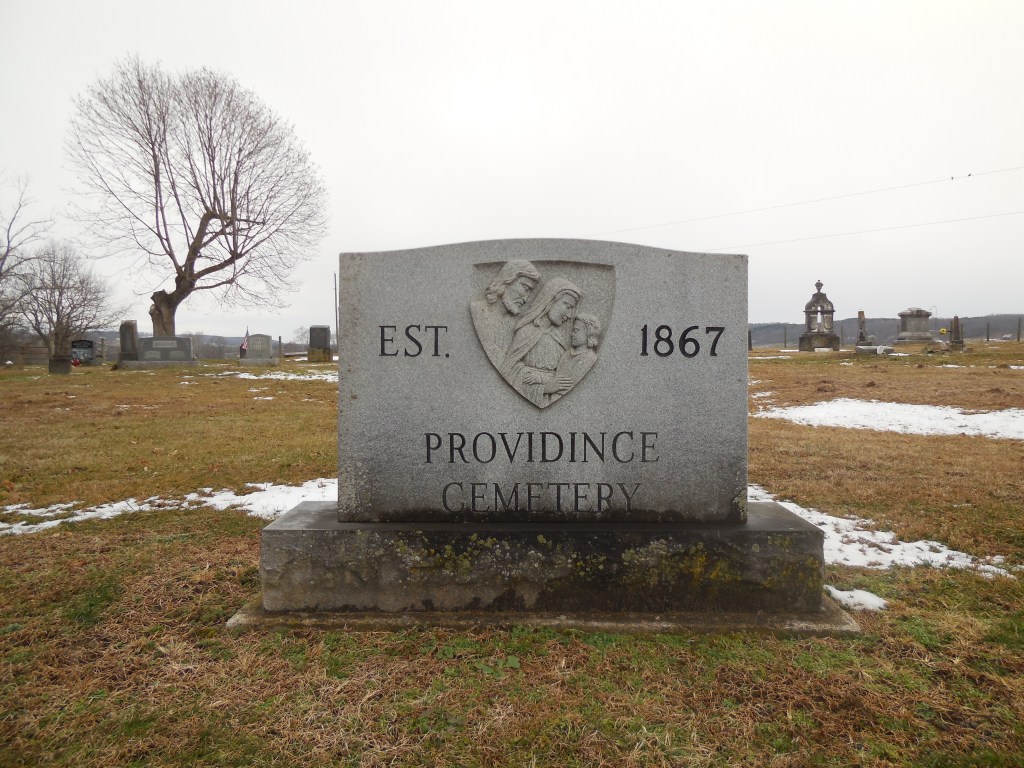
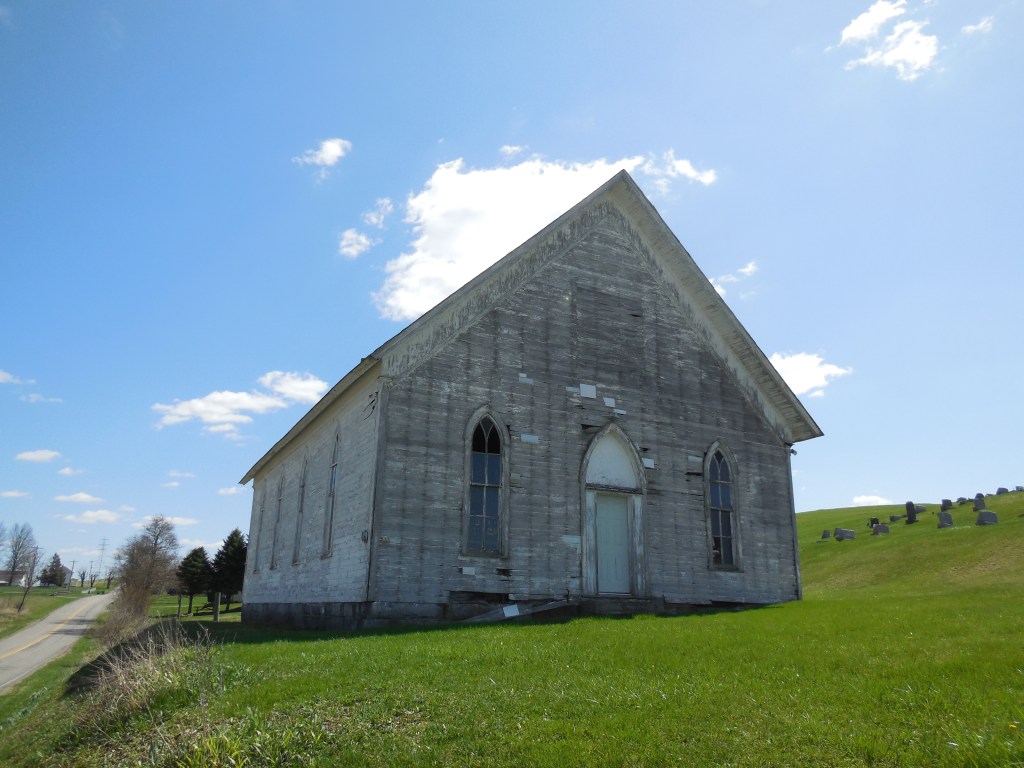
Copes Mills – Brush Creek Township, Jefferson County
Post Office: 1833 – 1860
Location: 40.573459, -80.757655
on Monroeville Irondale Rd (Co Hwy 55) at the intersection of Township Hwy 300
Remnants: Chestnut Grove Church and Cemetery in the southeast lot of the intersection
Description: The town was founded by Scottish immigrant Martin Adams (1778 – 1864) who was the first permanent settler in Brush Creek Township. He served as justice of the peace, owned a distillery and a horse-powered grist mill, and donated the land for Chestnut Grove Methodist Church and Cemetery. Its original church was a stone structure with construction beginning in 1838. Unfortunately, the mason passed away when the walls were only half done. The walls and roof were finished the following year, but construction wasn’t finally completed until 1847.
The stone church was used until 1898 when it was replaced with the present wood frame building. The town’s first school was a log structure built in 1814. It was replaced by a frame building on the Clark farm in the mid-1800s west of the GPS coordinates in the southwest corner of the intersection of Monroeville Irondale Rd and Township Hwy 62. The frame school was later replaced by a brick structure (Brush Creek Township No. 2).
Martin Adams sold a portion of his farm to Eli Cope (1812 – 1880). Eli’s brother Henry Cope (1797 – 1875) was the first postmaster. Another brother, Caleb Cope (1806 – 1869), was the second postmaster. Martin served as the town’s last postmaster. He was a lifelong bachelor and was buried with residents, including Eli and some of his relatives, in Chestnut Grove Cemetery. The church at Chestnut Grove is still standing but appears to have been abandoned for several decades. Henry was buried with relatives in Spring Hill Cemetery on Co Hwy 418 (10th St Exn) in Wellsville in Columbiana County. Caleb moved to Columbiana County and was buried there with relatives in Grove Hill Cemetery on Cemetery Rd in Hanoverton.
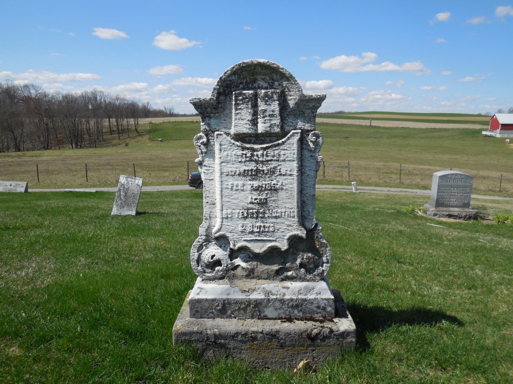
Hollisters (Zuck) – Butler Township, Knox County
Location: 40.383321, -82.248024
on Zuck Rd (Township Hwy 201) along the Kokosing River between SR 715 and Staats Rd (Township Hwy 200)
Remnants: Hollister Cemetery at the GPS coordinates
Description: Hollisters distantly preceded Zuck as a town, which had a post office at the same location from 1880 – 1903. Abel Hollister Jr. (1771 – 1847) from Litchfield County, Connecticut and Aranah (Terrill) Hollister moved to the area in the early 1800s and had several children. Abel was buried with relatives and other residents in the cemetery. His father was a Revolutionary War veteran. The cemetery has what was once an very nice stone wall with a small iron gate. Although its by no means in pristine condition, the wall is holding up well to the test of time for its age. The last known interment was in 1861.
Zuck is still geographically termed as a populated place for census purposes and has some residents, but the old town is gone. It was named after Stephen Zuck, one of the owners of a grist mill and saw mill complex called Green Valley Mills on the north side of Owl Creek, now the Kokosing River. The town also had a general store and the population in 1900 was around 40 residents. The post office closed due to lack of use and the Great Flood Of 1913 wiped out the remaining businesses and residences.
Arcole (Ellensburg) (Harper’s Landing) (Madison Dock) (Mascot) – Madison Township, Lake County
Post Office: 1837 – 1851, 1839 – 1841, and 1898 – 1899
Location: 41.849515, -81.008067
on Dock Rd at the intersection of Lakeshore Blvd along Arcola Creek
Remnants: 1. Dock Road Cemetery 2 miles south of the GPS coordinates on the east side of Dock Rd between Cunningham Rd and Chapel Rd – 2. Arcola House 3 1/2 miles south of the GPS coordinates in the northwest corner of the intersection of US 20 (N Ridge Rd) and Dock Rd
Description: This listing lumps together the history of several specific locations over a larger than usual area. Its all tied together in one way or another and is the best I could do with the information under the present circumstances. The area was originally called Harper’s Landing, named after Revolutionary War veteran Colonel Alexander Harper (1744 – 1798) from Middlesex County, Connecticut and Elizabeth (Bartholomew) Harper (1749 – 1833) from Hunterdon County, New Jersey. They were a couple of the earliest pioneers in the Western Reserve and founded the nearby town of Hapersfield in Ashtabula County.
The Arcola House was built around 1806 and served as an inn for tired travelers. It’s the only structure left that has witnessed the the areas remarkable changes since the early 1800s. On top of ship building and fishing, Arcole had 2 iron furnaces called The Arcole Steam Hot And Cold-Blast Charcoal Furnaces. The first one was built in the mid-1820s by Root & Wheeler of the Erie Furnace Company and the second was built by Wilkeson & Co. in 1832. The Arcole Iron Works produced stoves, kettles, and several other heavy castings in the foundry. It was once the largest employer in the state. The furnaces and foundry were along Arcola Creek with a post office from 1837 – 1851. Charles F. Swan was its first postmaster and was succeeded by John W. McGinnis.
Ellensburg was platted near the northern end of Dock Rd at Lake Erie as the docking point for incoming supplies and shipping out finished products. It had a post office from 1839 – 1841 and was also known as Madison Dock. On the 1857 county map, a school was pinpointed on the east side of Dock Rd in section 14 and another one was in section 3 on the north side of US 20 just west of the Arcola House. There was a grist mill on the east side of Dock Rd along Arcola Creek just north of US 20. The grist mill and school near the Arcola house (Madison Township No. 3) were still in operation by publication of the 1898 county atlas.
A newer school (Madison Township No. 2) in the northeast corner of the intersection of Dock Rd and Cunningham Rd replaced the former one to the north in section 14. The last name taken on by the area in the 1800s was Mascot, pinpointed in the 1901 George Cram atlas, with a post office from 1898 – 1899. Charlie W. Barrett (1859 – 1923) was its only known postmaster. He was laid to rest with relatives in Mount Pleasant Cemetery on SR 84 (South Ridge Rd E) in Geneva, Ashtabula County. Dock Road Cemetery isn’t very large, but it contains interments of many early residents.

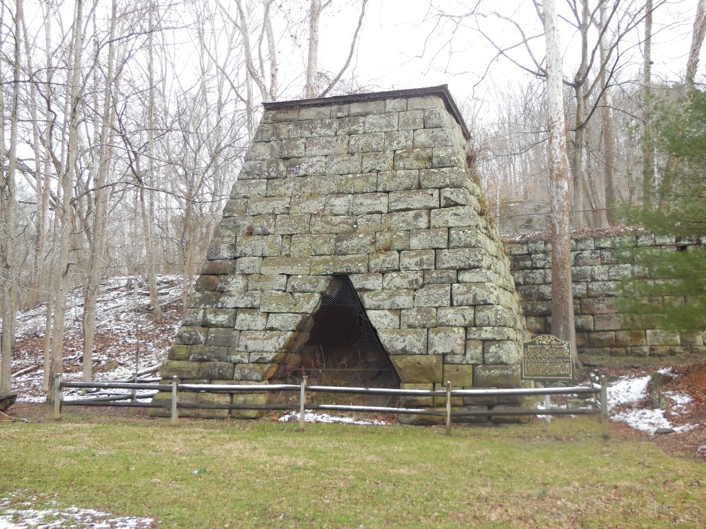
Vesuvius (Vesuvius Furnace) – Elizabeth Township, Lawrence County
Post Office: 1883 – 1902
Location: 38.605014, -82.630379
on Ellisonville – Paddle Creek Rd (Co Rd 29) at the intersection of Sugar Creek Ridge – Vesuvius Rd N along Storms Creek on the south side of Lake Vesuvius
Remnants: 1. Vesuvius Furnace and historical marker on the northeast side of the GPS coordinates – 2. Vesuvius Cemetery in the woods on the north side of Ellisonville – Paddle Creek Rd between the Main Loop Trail and the furnace
Description: Named after the Italian volcano, the first furnace at Vesuvius was built in 1833 by Samuel Gould, John Hurd, and Joseph Smith. It was cold blast, meaning the air wasn’t heated before entering. The owners decided to try building a hot blast furnace, which was a relatively new concept at the time. Construction on the second furnace began in 1836 and it successfully became the first hot blast furnace in the country, employing a couple hundred residents in various industries related to the iron production. The town was on the Iron Railroad and had the usual amenities of a furnace community including a company store, school, grocery store, and a blacksmith shop. The furnace changed ownership several times over the passing decades. One of the owners, Joseph Work Dempsey (1818 – 1852), was tragically killed in an accident at the furnace when the scaffolding he was on collapsed.
The furnace continued to operate until taking its last breath in 1905 and closing the following year. Lake Vesuvius was constructed in the early 1930s to create a local recreational destination. The accompanying park offers many outdoor activities and is an ideal place for a picnic. Vesuvius Furnace was added to the National Register of Historic Places in 1990 and has had the benefit of some preservation efforts. Its original large retaining wall is a sight not found at the other furnace sites around the state. Joseph Dempsey was buried with relatives in Woodland Cemetery on Carlton Davidson Ln in Ironton. About 100 of the town’s residents were buried in Vesuvius Cemetery.
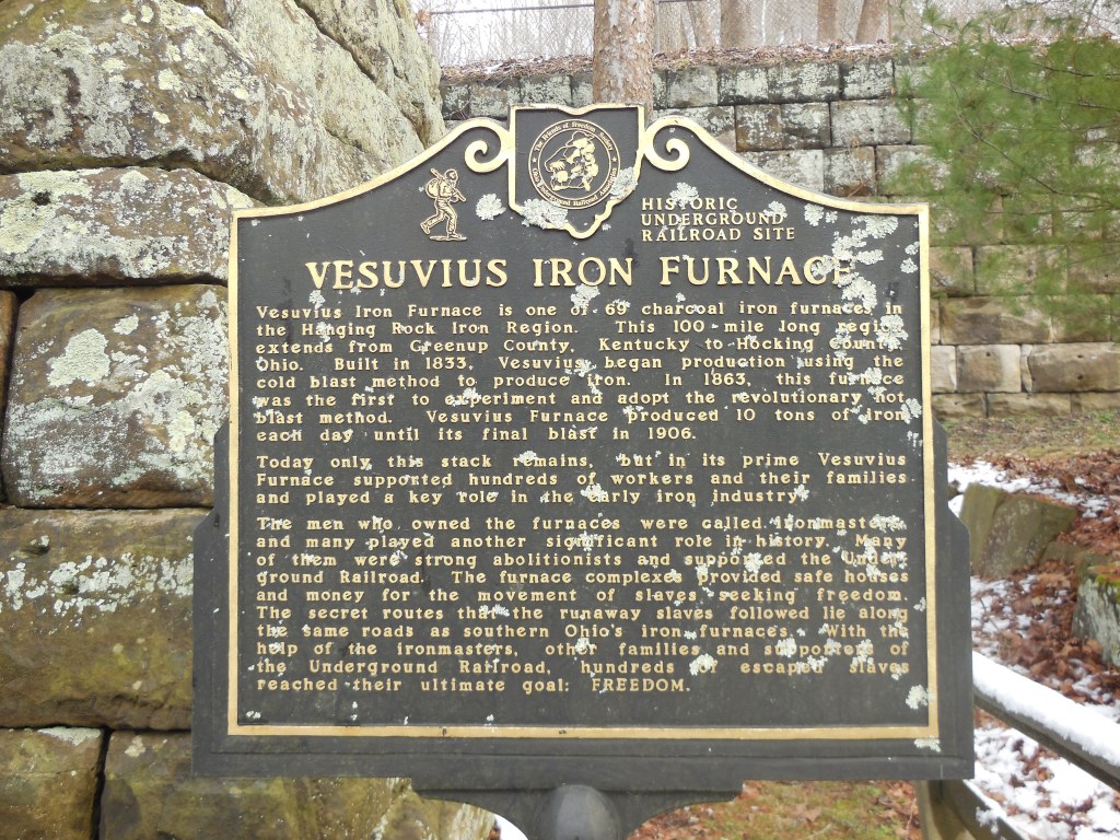
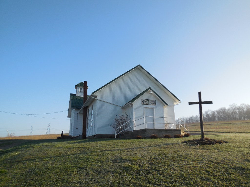
Long Run (Longrun) – Eden and Fallsbury Township, Licking County
Post Office: 1858 – 1904
Location: 40.206696, -82.285343
on Long Run Rd at the intersection of Rain Rock Road Northeast (Co Hwy 244) along Long Run
Remnants: 1. Long Run Church in the northwest lot of the intersection – 2. old farm buildings in the area
Description: The proprietors were neighbors who lived across the intersection from each other. John J. Edwards (1831 – 1907) and Julia Ann Edwards (1833 – 1863) owned a 110-acre farm on the north side of the intersection and donated land for Long Run Church in the mid-1850s. Julia tragically died just 4 days after the death of her last child, having at least 2 sons who departed this world before her as toddlers.
Early pioneers James Wilson Colville (1795 – 1878) and Leah (Baker) Colville (1800 – 1886) owned a 156-acre farm on the south side of the intersection. They were both born in Virginia, married in Ohio in 1827, and had at least 8 children. James was the town’s first postmaster. The Edwards and Colville families were buried in Souslin Cemetery 2 miles southwest of town on the west side of Baker Rd NE. Elza Dush was the second postmaster and Charles Baker was the town’s last postmaster.
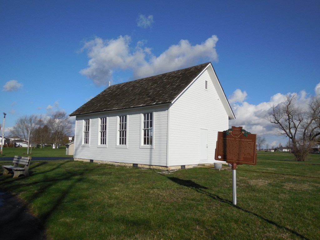
Flatwoods (Flat Woods) – Bokescreek Township, Logan County
Location: 40.440427, -83.594420
on SR 292 (Hamilton St) at the intersection of Co Rd 119
Remnants: former one-room schoolhouse in Veterans Park at the intersection of Main St and Lake Ave in West Mansfield
Description: Flatwoods was an African American settlement founded in 1854 by Christopher Williams (1822 – 1872). A Baptist meeting house in the northwest corner of the intersection and a school on the south side of County Rd 119 were constructed around 1864. Solomon Day Jr. (1841 – 1883) was one of the first teachers. A frame church was built next to the school in 1879 and was used by the town’s Baptist and Methodist congregations.
Christopher Williams and Solomon Day Jr. were buried with relatives and residents of Flatwoods in Day Cemetery about 5 miles southwest of the GPS coordinates on the south side of T-127 between Co Rd 12 and Township Rd 126 in Jefferson Township. The cemetery was established in 1842 on land owned by Solomon Day Sr. (1788 – 1855) from Virginia and Ann (Barnhill) Day (1801 – 1872) from Pennsylvania. The school closed in 1923, was moved to its present location while facing potential demolition in 1999, and has a historical marker with more info.
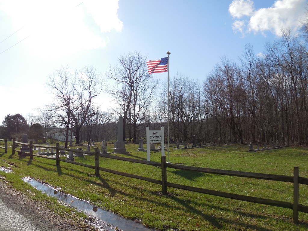
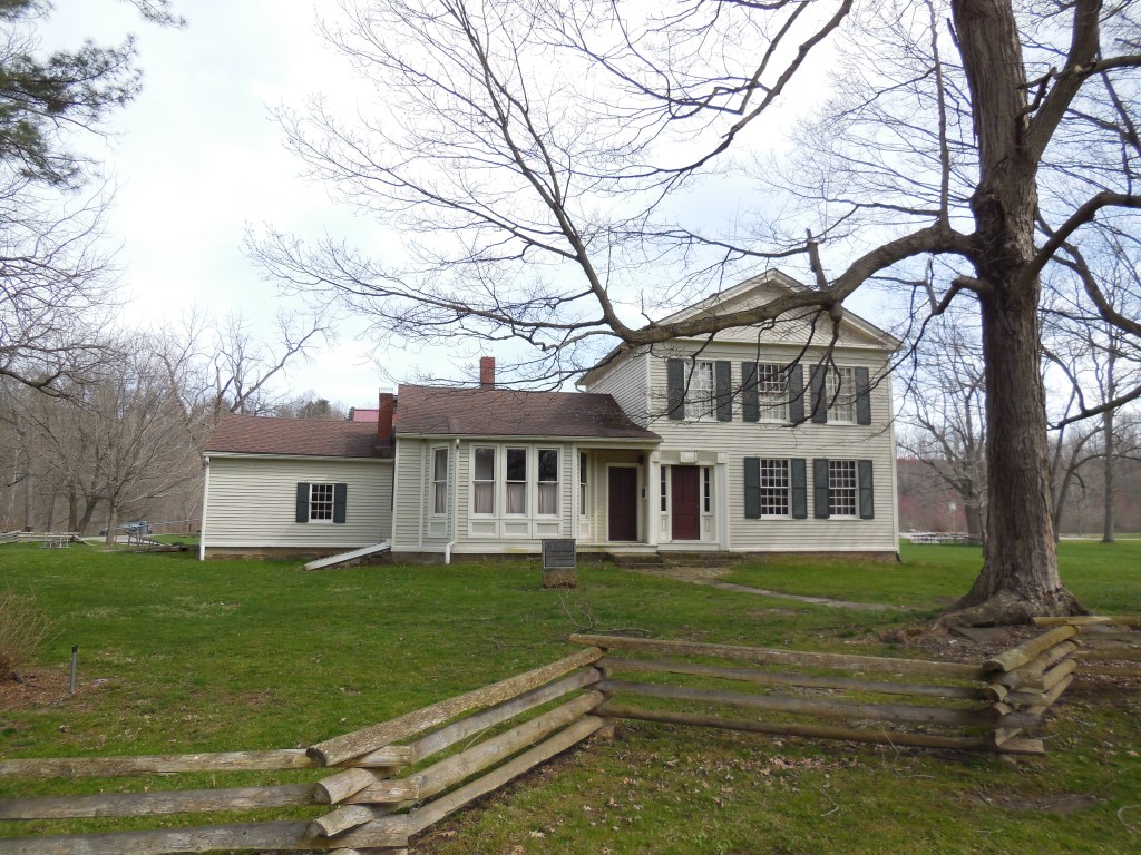
Rugby (Brownhelm Mills) (Manchester) – Brownhelm Township, Lorain County
Post Office: 1897 – 1903
Location: 41.377450, -82.322703
on N Ridge Rd at the intersection of Banks St (Township Hwy 177) along the Vermilion River
Remnants: 1. Rugby Cemetery about 1/3 of a mile west of the GPS coordinates on the south side of N Ridge Rd – 2. former one-room schoolhouse just south of the intersection inside the fork of Banks Rd and Morse Rd (Township Hwy 176) – 3. Mill Hollow House 1/2 mile northeast of the GPS coordinates off of N Ridge Rd in the Vermilion River Reservation – 4. historical marker at Mill Hollow House – 5. Brownhelm (North Ridge) Cemetery 1 1/2 miles northeast of the GPS coordinates at the intersection of N Ridge Rd and Sunnyside Rd
Description: Rugby was the name of the post office at Brownhelm Mills which had a saw mill and grist mill on the present grounds of the Vermilion River Reservation. According to the 1857 county map, the area’s original name was Manchester. Its first cartographic appearance as Brownhelm Mills was in the 1874 county atlas. Local pioneer Benjamin Bacon (1789 – 1868) arrived in the township in 1817. He served as the first justice of the peace in the township, county commissioner, and purchased an interest in the mills in 1835.
Benjamin had the Mill Hollow House built for him in 1845. It was added to the National Register of Historic Places in 1976. A historical marker in front of the house tells more of its story and the area’s history. The mills were destroyed by fire in 1876. They were owned by German immigrant John Heymann at the time and were rebuilt the following year at a cost of $15,000. No expenses were spared for complete modernization, including converting the power from water to steam.
In 1879 the mills were sold back to the Bacon family. The town’s known postmasters were Catharine T. Allen and Herbert J. Morse (1864 – 1934). Herbert was buried with relatives in Rugby Cemetery. It was established around 1830 on a farm owned by the Baldwin family. Benjamin Bacon was laid to rest with relatives and some other residents of Rugby in Brownhelm (North Ridge) Cemetery 1 1/2 miles northeast of the GPS coordinates at the intersection of N Ridge Rd and Sunnyside Rd. The former one-room schoolhouse just south of the GPS coordinates is still in good condition.
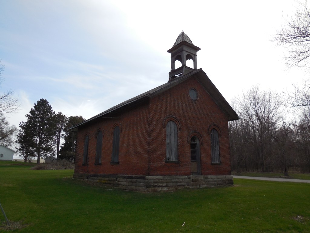
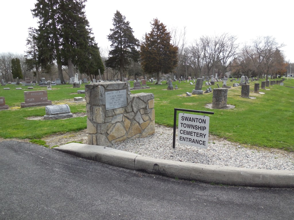
Scotts Corners – Swanton Township, Lucas County
Location: 41.589170, -83.863614
on Scott Rd at the intersection of Brindley Rd along Ai Creek
Remnants: Swanton Township (East Swanton) Cemetery on the east side of Scott Rd south of the GPS coordinates
Description: Scotts Corners was platted in 1836 by James Jackson and James H. Forsyth from Maumee. Its first businesses were a wagon shop owned by Chester Scott (1792 – 1868) from New York and a blacksmith shop operated by James Williams. Reuben Hastings opened the first general store and ran a hotel and tavern from 1844 – 1846. Construction of the Northern Indiana Air Line railroad was completed through the area in 1858 and later became part of the Lake Shore & Michigan Southern Railway.
The town also had a saw mill on the east side of Scott Rd just north of the railroad tracks. A school was on the north side of the East Swanton Cemetery on land owned by Dr. William A. Scott (1823 – 1907) and Elanor (Johnson) Scott (1823 – 1892). They were buried in the cemetery along with several other family members including William’s paternal grandfather, Revolutionary War veteran Joel Scott (1751 – 1835) from New York. Despite its promising start, the plat’s residential lots didn’t sell or form into a village. As a result, Scott’s Corners remained a rural community and eventually faded out of existence.

New Hampton (Hamden) – Jefferson Township, Madison County
Post Office: 1830 – 1833
Location: 39.939210, -83.268697
on Frey Ave between Lilly Chapel Rd and Little Darby Creek
Remnants: 1. Hampton Cemetery on Frey Ave – 2. historical markers at the cemetery entrance – 3. part of the first state road in Ohio (Ludlow’s Rd) on the south side of the cemetery
Description: It was platted in 1822 along Ludlow’s Rd, the first state road in Ohio, by Samuel Sexton and Samuel Jones who were business men from New Jersey. Back then, Ludlow’s Rd was a vibrant trading route and a promising place to start a town. New Hampton had 2 general stores, 3 taverns, a Baptist church, and a post office from 1830 – 1833. Reverend Issac Jones (1802 – 1842) and Eliza (Mills) Jones (1804 – 1877), a son and daughter in law of Samuel Jones, platted Jefferson (now West Jefferson) in 1831 a few miles north of New Hampton in anticipation of the National Road (US 40) being built through the area.
Residents of small towns just to the north and south all across the state flocked to the National Road, moving their families, houses, and businesses to its promise of a better life. New Hampton was no exception to that. The cemetery and part of the Main Street of Ludlow’s Rd are the only known remnants left. The two historical markers at the front of Hampton Cemetery on Frey Ave tells the story of New Hampton and Ludlow’s Rd. Samuel Sexton and Samuel Jones moved back to New Jersey with their families when New Hampton was abandoned, unhappy that the town they founded no longer existed.

Kirk – Jackson and Austintown Township, Mahoning County
Post Office: 1896 – 1901
Location: 41.068918, -80.823566
on Kirk Rd (Co Rd 146) at the intersection of S Lipkey Rd
Remnants: Covenanter Cemetery on the side of Kirk Rd east of the GPS coordinates
Description: The town was founded by Irish immigrants Robert Kirkpatrick (1768 – 1847) and Catherine (Ewing) Kirkpatrick (1769 – 1856). Their surname was later Americanized and shortened to Kirk. Covenantor Cemetery started out on the Ewing family farm and dates back to at least the early 1820s. Catherine’s widowed mother, Ann Ewing (1738 – 1821), is the oldest known interment and made the journey to the U.S. in 1792 along with 4 of her children. The Kirkpatrick and Ewing families were related by several marriages.
In the later 1800s, there was a church at the cemetery and a school on the east side of S Lipkey Rd north of the GPS coordinates. The school was on land donated by William Young (1804 – 1885) from Beaver County, Pennsylvania and his 3rd wife, Ellen (Wallace) Young (1818 – 1880). Everyone previously mentioned in this listing was laid to rest in Covenantor Cemetery. Nettie (Haun) Slabaugh (b. 1867) was the town’s postmaster. We have as of yet been unable to locate her grave.

Winnemac – Bowling Green Township, Marion County
Location: 40.572366, -83.394164
on Winnemac Pike at the intersection of Larue – Mt Victory Rd
Remnants: 1. Bonner Cemetery north of the intersection and railroad tracks on the west side of Winnemac Pike, – 2. former one-room schoolhouse west of the GPS coordinates at the intersection of Larue – Mt Victory Rd and Clark Rd S
Description: Winnemac was platted in the mid-1800s with a small residential section on the south side of Larue – Mt Victory Rd just east of the GPS coordinates. The town was along the Bellefontaine and Indiana Railroad (later the Cleveland, Columbus, Cincinnati, & Indianapolis Railroad). A nice wood frame church that could seat 200 parishioners was built in 1853 at a cost of $500. It was physically moved to the nearby and much faster growing town of La Rue in 1862.
Winnemac’s first school was in the northeast corner of the intersection of Larue – Mt Victory Rd and Clark Rd S. It was replaced in 1887 with a new school across the road (Bowling Green Township No. 3) which remains in decent preserved condition. It was also referred to as the Lenox School, named after the family who owned the land. A small brickyard on the east side of Winnemac Pike across from the cemetery was owned by Marsh & La Rue and was pinpointed in the 1878 county atlas. Land for the cemetery was purchased from the 200-acre farm of John Bonner (1811 – 1894) and Elizabeth (Young) Bonner (1801 – 1883) who were buried there with relatives and other early residents of the area. It was laid out into lots in 1857. Some of the interments are a bit older than that.
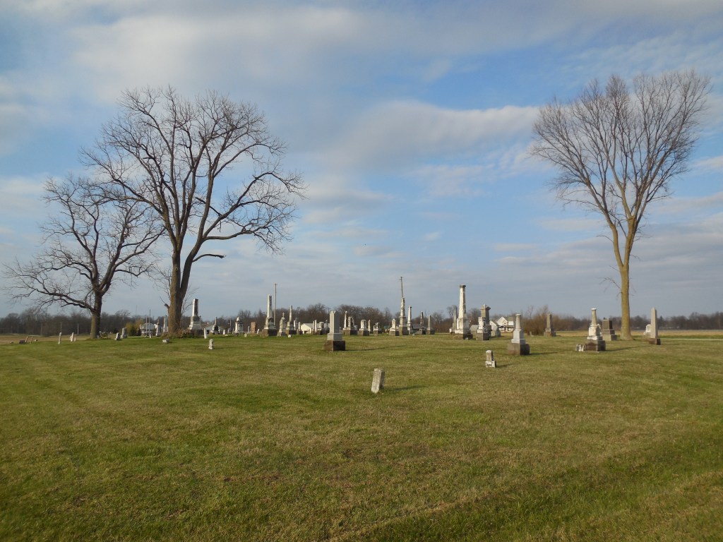
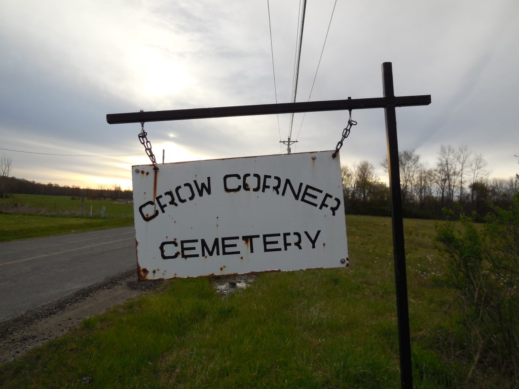
Crow’s Corner (Crow Corner) (Crow Town) – Litchfield Township, Medina County
Location: 41.186807, -82.053314
on Crow Rd at the intersection of Yost Rd along Crow Creek
Remnants: 1. Crow Corner (Crow Road) Cemetery on the south side of Crow Rd between Yost Rd and Vermont St – 2. old houses and farm buildings in the area
Description: John Crow (1790 – 1864) and Nancy (Wheeler) Crow (1794 – 1873) from Hampden County, Massachusetts arrived in the township along with several other families in 1832. The cemetery was established on their 165-acre farm in the southwest lot of the intersection. A school was in the northwest lot of the intersection on land donated by Solomon Halladay (1800 – 1878) from Massachusetts and Dotia (Chamberlain) Halladay (1819 – 1900) from Otsego County, New York. The school’s first cartographic appearance was in the 1874 county atlas.
The Crow’s and Halladay’s former residences are intact and presently occupied along with some other old houses from the town’s existence. It was never platted and there wasn’t any major businesses. Most of the residents were farmers. A group of local investors known as the Litchfield Oil Company attempted to strike oil at Crow’s Town in 1876 but didn’t have any luck on that. Everyone mentioned in this listing was buried with relatives and other early pioneers in the cemetery.
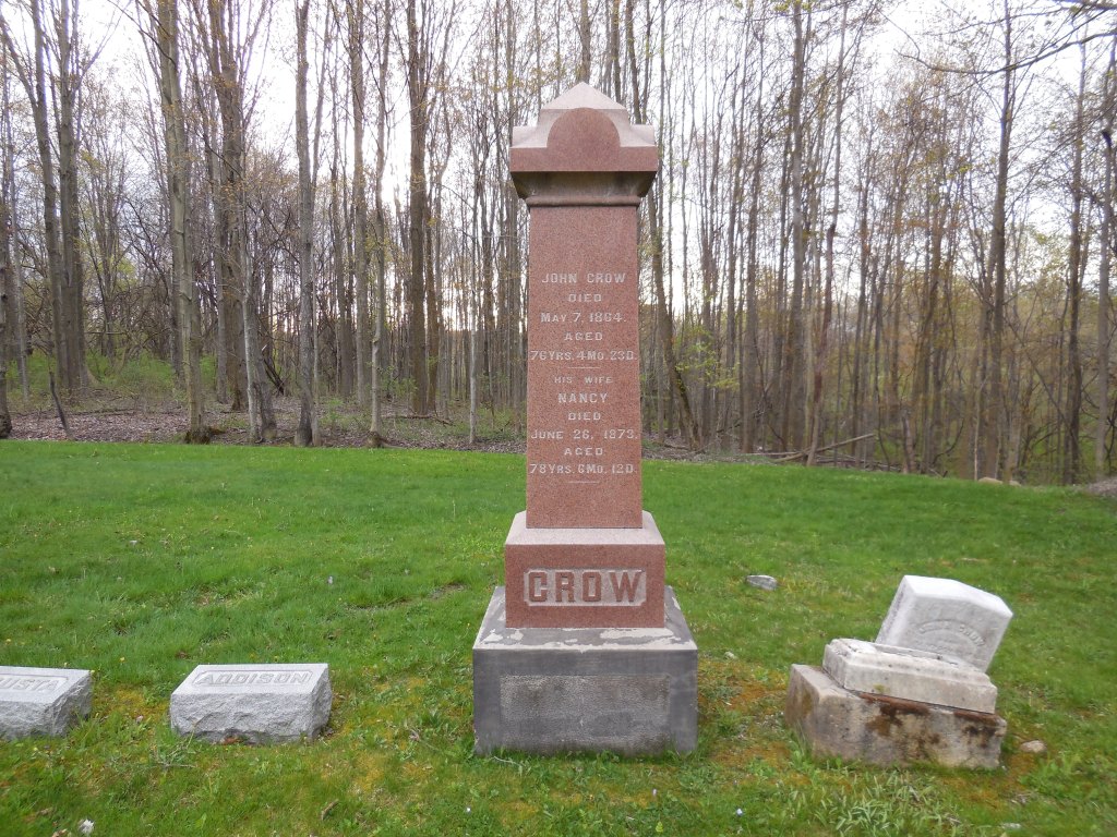
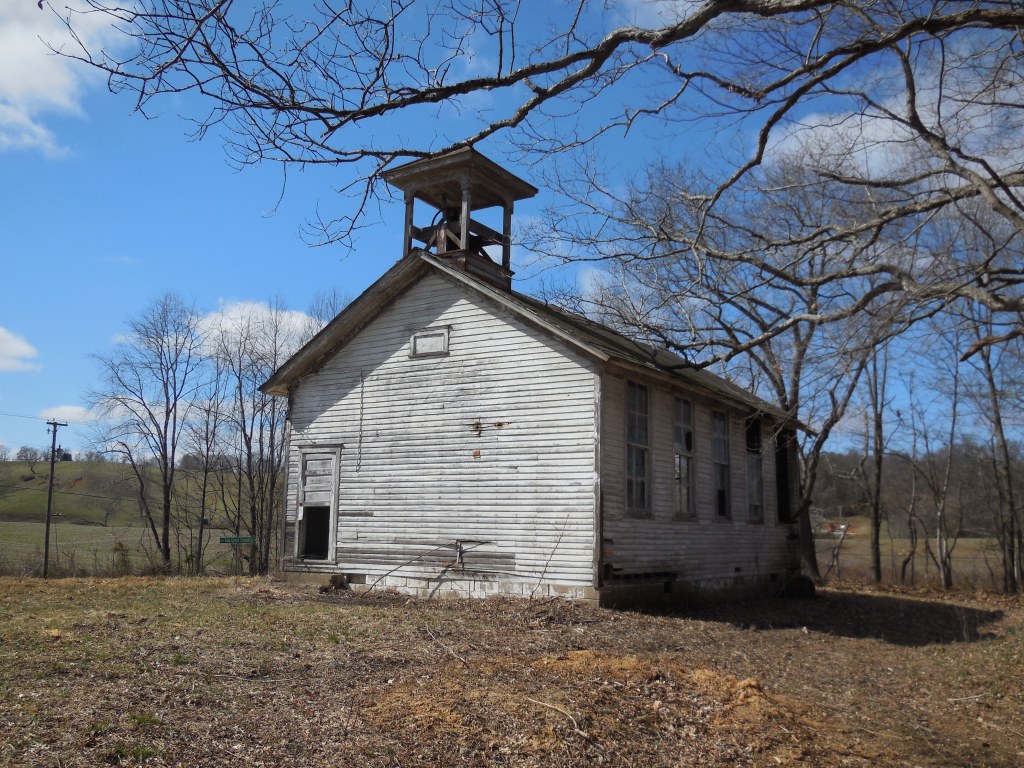
Oakgrove (Oak Grove) – Sutton Township, Meigs County
Location: 38.991371, -81.907653
on Racine – Bashan Rd where it meets Oak Grove Rd at the intersection of Township Rd 643
Remnants: 1. Oak Grove Methodist Church and Cemetery north of the GPS coordinates on Oak Grove Rd – 2. former one-room schoolhouse just west of the church
Description: There isn’t much info available online concerning the town. However, it’s a very interesting place to visit despite not knowing much about the location. Oak Grove Methodist Church was also used as the Racine Grange Hall (No. 2606). The earliest known burial in the cemetery is Rhoda (Gillett) Reynolds (1810 – 1837). She married Henry Reynolds (1808 – 1872) and moved to Ohio with him from Sullivan County, New York.
The one-room schoolhouse is certainly of a dying breed. There aren’t many left in the state of its nature. The bell is amazingly still intact, which is very uncommon these days. They were usually scrapped or repurposed. The school was likely built prior to the Ohio School Act of 1853 which mandated that there be one in every 4 square miles. After the act passed, brick one-room schoolhouses were built 2 miles apart, so kids wouldn’t have to walk more than a mile to get to one.
Brehm – Liberty Township, Mercer County
Post Office: 1890 – 1897
Location: 40.622501, -84.746880
on Wabash Rd along Black Creek between Schaadt Rd and Oregon Rd
Remnants: 1. St. Paul’s Lutheran Church and Cemetery at the GPS coordinates – 2. former church building in St. Paul’s Lutheran Cemetery – 3. St. Paul’s United Church of Christ Cemetery about 3/4 of a mile south of the GPS coordinates at the intersection of Wabash Rd and Oregon Rd
Description: German immigrant John Brehm (1828 – 1907) arrived in the U.S. around 1848 with a fine education and a few years of being a skilled baker. He originally settled in Montgomery County, turned into a self-taught farmer, and had 8 children with his first wife Mary (Lower) Brehm. John remarried after Mary passed away and had 3 more children with Margaretha Johanna (Bollenbacher) Brehm (1833 – 1897). John and Margaretha moved their family to a recently purchased 100-acre farm in Mercer County in 1872 where many other German immigrants were already living.
A one-room schoolhouse (Liberty Township No. 2) was in the northwest the corner of the intersection of Wabash Rd and Schaadt Rd. Philip Kable Sr. (1850 – 1915) was the town’s postmaster and was buried with relatives and other residents in St. Paul’s Lutheran Church Cemetery. The congregation formed in 1841 and its first church building was completed in 1850 next to the cemetery. It is still standing and has had a nice restoration. The Brehms donated land and funds for the present St. Paul’s Evangelical Lutheran Church across the road. Its congregation and the church are still active, having celebrated their 175th anniversary in 2016. John and Margaretha were buried in St. Paul’s United Church of Christ Cemetery at the intersection of Wabash Rd and Oregon Rd with many relatives.

Hanktown (Randolph) (Randolph Settlement) – Union Township, Miami County
Location: 39.987659, -84.381850
on SR 571 between S Shiloh Rd and S Range Line Rd
Remnants: 1. Hanktown Cemetery on the north side of SR 571 at the GPS coordinates – 2. historical marker at the cemetery
Description: John Randolph (1773 – 1833) was a cousin of 3rd U.S. President Thomas Jefferson and owned a plantation in Virginia with plans to free its slaves. According to the 1900 county history book, John inherited the slaves from his father and never bought or sold them. John opposed slavery, but it basically would have been a suicidal act to free them in Virginia during his lifetime. After 13 years of sorting out John’s many wills in court, the freed slaves made the journey to Ohio in 1846. There were 383 in total and 89 of them settled in Miami County on 200 acres of land surrounding the GPS coordinates. Most of the others went to Mercer, Shelby, and Van Wert County prior to the Civil War.
A school was pinpointed on the south side of SR 571 across from the cemetery on the 1858 county map. Hanktown Baptist Church was built on the north side of SR 571 next to the cemetery prior to publication of the 1871 county atlas. The settlement’s 200-acre farm had been divided up into separate lots of ownership by then. Among the town’s residents, 7 of them joined the Union Army during the Civil War. Despite the historical importance of the cemetery, it also noticeably suffers from a lack of parking alongside the rush of SR 571.

Hope Ridge – Center Township, Monroe County
Post Office: 1858 – 1872
Location: 39.790633, -81.123750
on SR 800 between Township Hwy 35 and Water Works Rd
Remnants: 1. Hope Ridge Cemetery at the GPS Coordinates – 2. old houses and farm buildings in the area
Description: Hope Ridge was founded by Irish immigrants Reverend John Clingan (Clinghan) (1783 – 1858) and Mary (Armstrong) Clingan (1787 – 1865) who were early pioneers in the county. It had a Methodist Episcopal church at the cemetery and a couple of mills south of the GPS coordinates along Sunfish Creek. A school (Center Township No. 3) was about 3/4 of a mile north of the GPS coordinates on the east side of SR 800 near the intersection of Township Hwy 35. It closed in 1929 with Nellie (Turner) Jones (1908 – 1988) serving as the last teacher. She was laid to rest with relatives 2 miles south of the GPS coordinates in Oaklawn Cemetery on Oaklawn Ave in Woodsfield.
The post office was across the road from the school on the south side of Township Hwy 35 near the intersection. William M. Preshaw (1825 – 1898) was the only known postmaster. He moved out of the state and was buried with relatives in Highland Cemetery at the intersectionof E 15th St and Montana Rd in Franklin County, Kansas. John and Mary had several children and were buried with relatives in Hope Ridge Cemetery. Some other big surnames from the area were Burkhead, Donnely, Ford, McFadden, Rouse, and Wittenbrook.
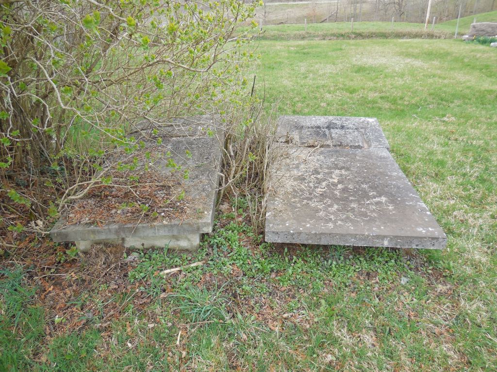
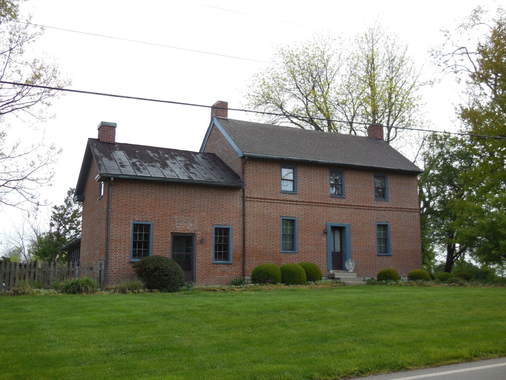
Manor – Washington Township, Montgomery County
Location: 39.589263, -84.140585
on E Social Row Rd between SR 48 and Gebhart Rd
Remnants: Robert Bradford House on the north side of GPS coordinates
Description: Manor was along the Cincinnati, Lebanon, & Northern Railway in the late 1800s to early 1900s. The former track path can still be seen on satellite maps just west of the GPS coordinates. However, the most interesting remnant that still exists is a house that was constructed well before the town was founded. Robert Bradford (1788 – 1877) from Ireland and Elizabeth (Myers) Bradford (1797 – 1844) from Virginia were its original owners. Robert arrived in the U.S. in 1812. He was a weaver by trade and worked in a flour mill in Cincinnati for 3 years before moving to Montgomery County to follow agricultural pursuits.
Robert and Elizabeth got married in 1817 and had 10 children. After living in a log cabin for a couple of decades, their stately brick house was completed in 1839. It was added to the National Register of Historic Places in 1979 and is reportedly haunted by the ghost of Elizabeth. According to county maps from the mid-1800s, it appears Robert sold the house shortly after Elizabeth passed away and moved to another location of his farm on the south side of E Social Row Rd. The Bradfords were buried with relatives in Sugar Creek Baptist Church Cemetery 4 1/2 miles northwest of the GPS coordinates on SR 48 (N Main St) in Centerville.
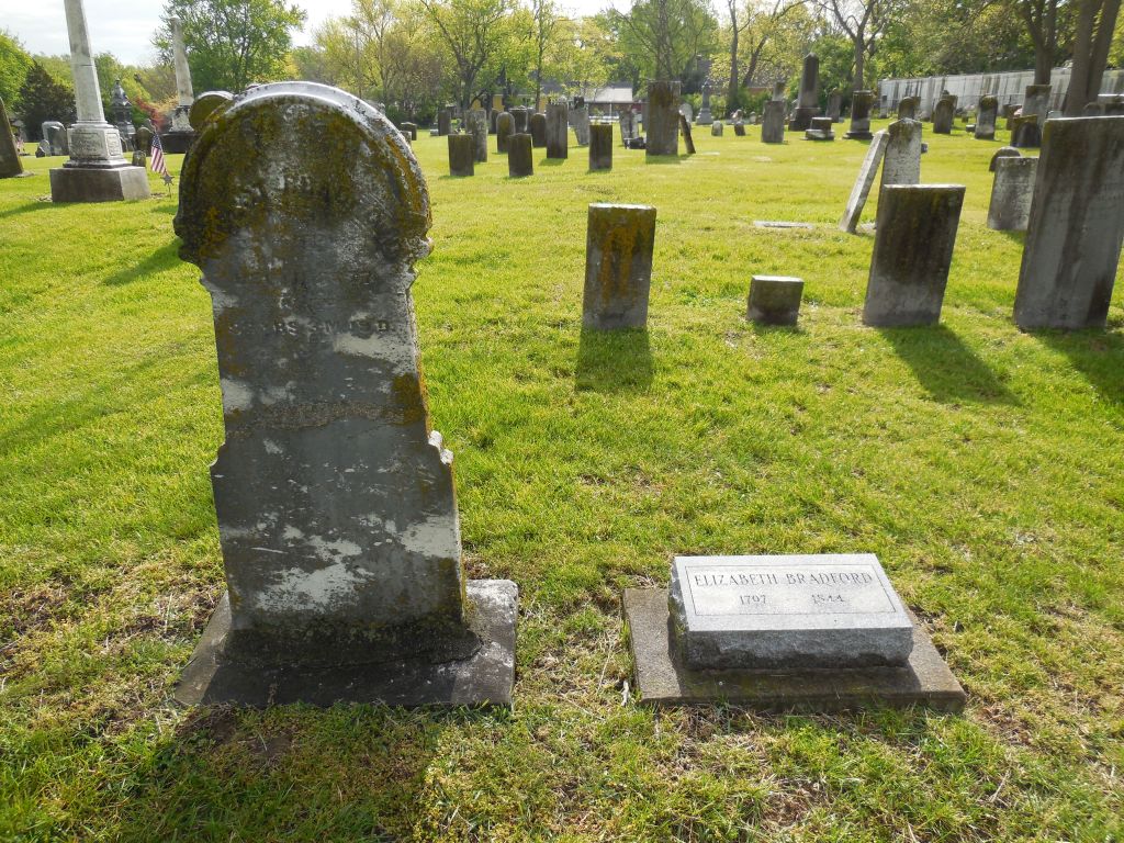

Hickersons Cross Roads – Penn Township, Morgan County
Post Office: 1850 – 1853
Location: 39.595516, -81.915052
on S Elliott Rd (Co Rd 4) at the intersection of N Best Rd (Co Rd 40)
Remnants: 1. Never-Never Fruit Farm House at 545 S Elliott Rd – 2. Baptist (Mount Olive) Cemetery on the west side of S Elliott Rd about 2 miles south of the GPS coordinates
Description: The town was named after the Hickerson family in the township who owned much of the land along S Elliott Rd stretching from N Best Rd to Janes Rd. Shephen Jones (1797 – 1873) and Mary (Rowland) Jones (1797 – 1893) were both born in Maryland and got married in 1823. They owned the Never-Never Fruit Farm, which is still in existence, from 1846 – 1851 and passed it down to one of their sons. The farm has been owned by the Hickerson family since 1940. An interesting large sign listing the farm’s former owners is on the front of a clapboard covered log house that has been on the property since at least 1850. The sign also reads, “This farm so named because we never run out of work or friends”.
There was a Baptist church at the cemetery on land donated by the Best family. A Methodist Episcopal church was on the south side of S Elliott Rd west of N Best Rd. The Methodist church was replaced with a school (Penn Township No. 5). Another school (Penn Township No. 4) was on the east side of S Elliott Rd across from the intersection of Janes Rd. Stephen and Mary Jones were buried with relatives and other residents, including some of the Hickersons and Bests, in Baptist Cemetery.


Kelker – Congress Township, Morrow County
Post Office: 1898 – 1903
Location: 40.616600, -82.747231
on Williamsport Crestline Rd between Marion – Johnsville Rd and Trimbe Rd
Remnants: 1. Pleasant Grove Cemetery on the west side of the GPS coordinates – 2. former one-room schoolhouse across the road from the cemetery – 3. former church bell with a memorial and historical plaques
Description: The proprietors were Rudolph F. Kelker (1841 – 1908) and Ida (Cook) Kelker (1836 – 1909). They got married in 1862, had a few children, and owned an 80-acre farm on the northwest side of the GPS coordinates. Rudolph was the town’s postmaster. The church congregation, cemetery, and former school all predate the establishment of the town. The school was on an 80-acre farm owned by James P. Maxwell (1818 – 1898) from Pennsylvania and Susan (Swallum) Maxwell (1822 – 1902). It’s currently in excellent preserved condition. There are two unusual things about the school. The first is its bell is still intact in the tower. The only other location we have seen the same occurrence is at the ghost town of Oak Grove in Meigs County. Another unusual aspect of the school is the fact that it has two doors, likely one for boys and the other for girls, just like many churches from the time period. It goes to show how much influence the church had in the community. James Maxwell was also an elder member of the congregation for almost 50 years. An older wood frame church on the south side of the cemetery was demolished in the late 2010s. It was constructed in 1858 and replaced the congregation’s former log building. The very large bell from the wood frame church has been restored and hung in a memorial with a couple of historical plaques that have info concerning the history of the church buildings. To accommodate the congregation’s growing numbers, the much larger brick structure on the north side of the school across from the cemetery was completed in 1969. Everyone mentioned in this listing was buried with relatives and other residents of Kelker in the cemetery.
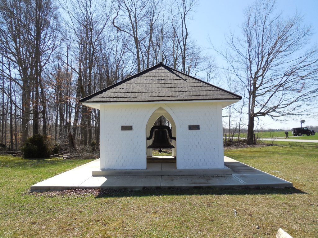

Johnsons Mill – Perry Township, Muskingum County
Location: 39.999411, -81.839400
on Arch Hill Rd at the intersection of Murphy Hill Rd along Salt Creek
Remnants: 1. Johnson’s Mill (Salt Creek) Covered Bridge on the south side of Arch Hill Rd just west of the GPS coordinates – 2. Ebenezer Methodist (Carr) Cemetery on the south side of Carr Rd about 3/4 of a mile east of the GPS coordinates
Description: It was named after James S. Johnson (1817 – 1893) and Lucinda (Galloway) Johnson (1823 – 1869) who were the owners of a grist mill and saw mill that was next to Salt Creek near the covered bridge. They inherited a farm from Lucinda’s parents, had 10 children, and the family’s land holdings eventually expanded to 900 acres with their success. The bridge was constructed in 1876 and restored in 1998. It features 3 historical markers, one inside concerning the restoration and a couple more on the outside of the western end with info about its history.
James and Lucinda were buried with relatives in Salem Cemetery about 2 1/2 miles north of the GPS coordinates at the intersection of Norfield Rd (Co Hwy 64) and Salem Church Rd in Salem Township. Some other residents were laid to rest in Ebenezer (Carr) Cemetery which was the site of a church and was established on a farm owned by the Carr family.
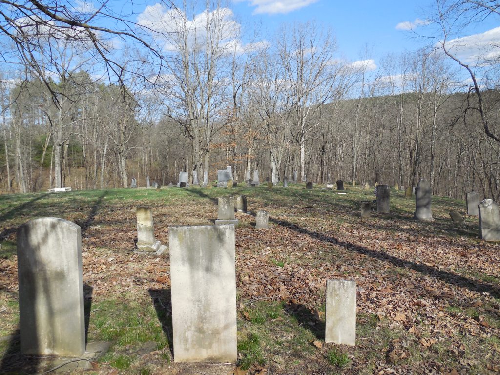
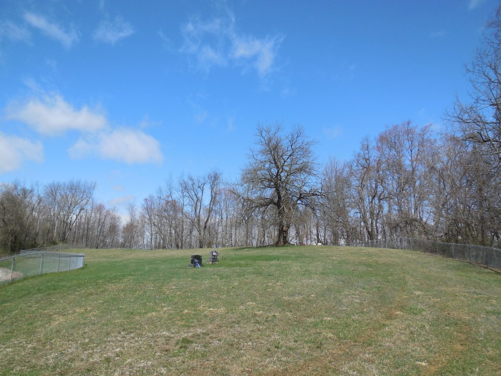
Rado – Jefferson Township, Noble County
Post Office: 1884 – 1903
Location: 39.696122, -81.380619
on Rado Ridge Rd at the intersection of Mallett Rd (Town Hwy 236)
Remnants: Rado Ridge Cemetery on the east side of Rado Ridge Rd about 1/2 of a mile north of the intersection
Description: Rado had a school on the south side of Mallett Rd about 1/2 of a mile west of the GPS coordinates and Knights of Pythias Lodge No. 632 with a membership of 33 recorded in the 1904 county history book. J. Burkhart was the first know postmaster. He was succeeded by Columbus M. Harper (1858 – 1944) who held the position until the office was discontinued. Columbus married Mary (Davis) Harper (1854 – 1926) and was laid to rest with many relatives in Olive Cemetery at the intersection of Olive St and Cornstalk Rd in Caldwell. Burials in Rado cemetery date back to at least the early 1840s.
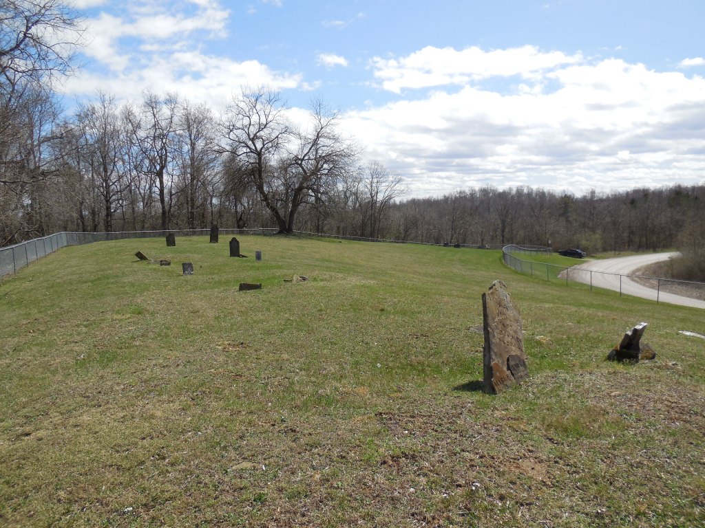
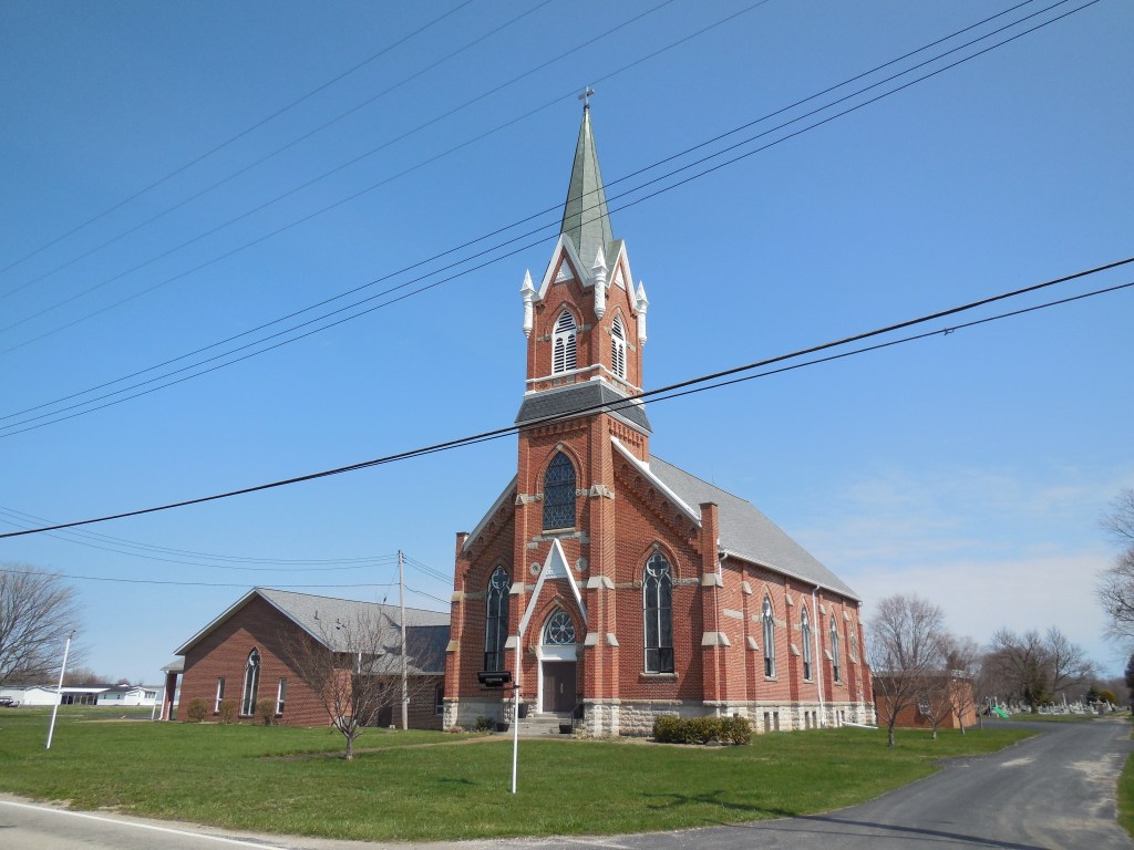
Violet – Danbury Township, Ottawa County
Post Office: 1881 – 1899
Location: 41.518380, -82.807741
on Church Rd at the intersection of Port Clinton Eastern Rd (County Rd 5)
Remnants: 1. St. Paul Lutheran Church and Cemetery on the east side of Church Rd about 1/2 of a mile north of the intersection – 2. former school on the south side of Port Clinton Eastern Rd at the intersection of Von Glahn Rd
Description: Violet was a farming and railroad town established in the mid-1800s. Saint Paul Lutheran Church, which was also the town’s school in its early days, was built in 1845 and is an impressive sight to see as it proudly stands the test of time. There was also a Methodist church on Von Glahn Rd 1/2 of a mile west of the GPS coordinates in the mid-1800s to early 1900s.
A nice two-story school was constructed in 1898 on the south side of Port Clinton Eastern Rd on land donated by the Behrman family. It currently houses the Danbury Township Zoning Department. The Lakeside & Marblehead Railroad was the first to arrive in the area. Its former path can be spotted on satellite maps just south of the GPS coordinates. Another railroad line was just north of the GPS coordinates. The tracks are long gone, but some of its bed is still intact east of Church Rd.
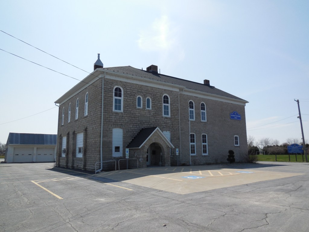
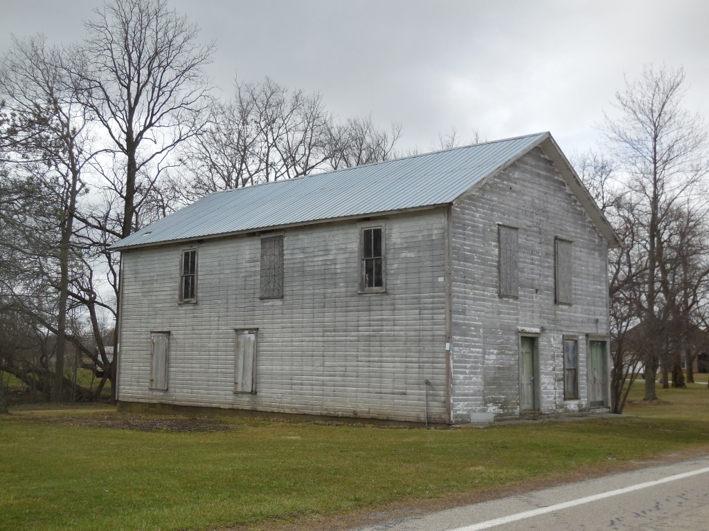
Arena – Paulding Township, Paulding County
Post Office: 1892 – 1902
Location: 41.135328, -84.631421
on SR 111 at the intersection of Rd 87 along Big Run
Remnants: 1. former grange hall 2 miles southeast of the GPS coordinates at the intersection of SR 500 and Town Hwy 95 (Township Rd 95) – 2. St. Pauls Church and Cemetery 1 1/2 miles south of the GPS coordinates at the intersection of Rd 87 and Town Hwy 114 – 3. former one-room schoolhouse 1 1/4 miles south of the GPS coordinates in the southeast corner of the intersection of Rd 87 and SR 500 – 4. Cooper – Haines Cemetery 1 1/3 mile southeast of the GPS coordinates at the intersection of SR 500 and Rd 93
Description: Paulding Grange No. 33 was organized in 1874. Its hall was constructed in the early 1890s and first appeared in the 1892 county atlas on a 240-acre farm owned by John B. Mossoney Jr. (1826 – 1908) from Belgium and Martha (Smith) Mossoney (1836 – 1921). A general store operated on the first floor and the second floor was used for meetings. The building was donated to the John Paulding Historical Society for preservation in 2017 and is certainly one of the more impressive looking 1800s grange halls left in the state. John and Martha were buried with relatives and other residents in St. Pauls Cemetery. Its present church structure was completed in 1882 and is still in use.
A couple of schools were pinpointed in the 1892 county atlas. One of them was 3/4 of a mile northeast of the GPS coordinates on the east side of Town Hwy 93 (Rd 93). The other school was on an 80-acre farm owned by the Overturf family at the current location of the only one remaining (Paulding Township No. 1), which was built in 1900 and eventually converted to a township house. It was pinpointed in the 1905 county atlas along with another lost school a mile north of the GPS coordinates in the northeast corner of the intersection of Rd 87 and Rd 144. Arena’s known postmasters were J. P Poorman, Gertie H. Musgrave, Calvin Fultz, and L. E. Babcoke. The office was replaced by an RFD (Rural Free Delivery) route.
Civil War veteran John Cooper (1838 – 1888) from Marion County and Catherine (Reidel) Cooper (1842 – 1923) from Germany got married in 1865 and moved to Paulding County in 1873. They owned an 80-acre farm, had 3 children, and donated the land for the western half of Cooper – Haines Cemetery where they were buried with relatives and other residents. John died of typhoid the week after his daughter, Emma Caroline Cooper (1872 – 1888), perished of the same illness. The eastern half of Cooper – Haines Cemetery was donated from an 80-acre farm owned by Augustus E. Haines (1831 – 1915) from Logan County and Emeline (Crowder) Haines (1829 – 1912) from Belmont County. They got married in 1852, had at least 2 children, and were also laid to rest with relatives in the cemetery.
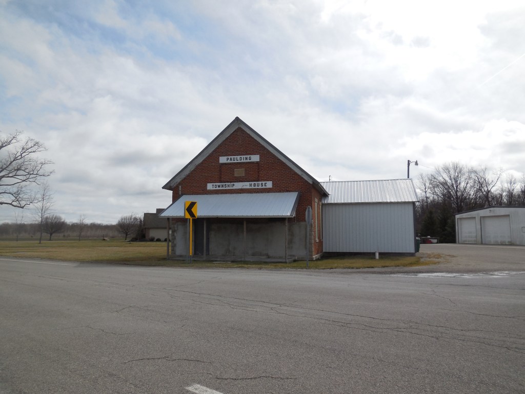
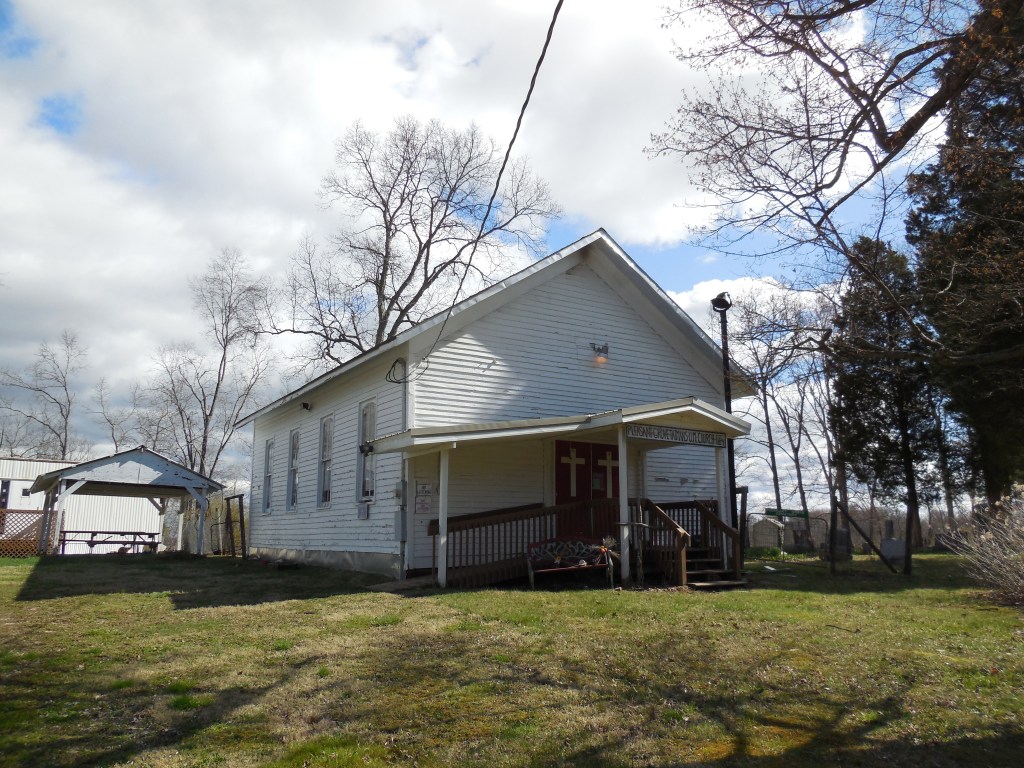
Tatmans – Bearfield and Pleasant Township, Perry County
Location: 39.668033, -82.082256
on Tatmans Rd SE (Co Rd 22) at the intersection of Portie – Flamingo Rd (Co Rd 12)
Remnants: Pleasant Grove United Methodist Church and Pleasant Grove (Tatman) Cemetery on Portie – Flamingo Rd about 1/4 of a mile northwest of the GPS coordinates
Description: The proprietors were Bartholomew Tatman (born c. 1794) and his wife, likely either named Anny or Amy. They moved to Ohio from Allegheny County, Maryland in the late 1810s along with Bartholomew’s parents and his 6 younger siblings. Pleasant Grove (Tatman) Church congregation was organized in the mid-1830s with meetings originally held in the Tatman farmhouse. The congregation built a log church and replaced it with the present wood frame structure which was constructed in 1859 – 1861.
The Tatman family headed west to Washington County, Iowa in 1843, but moved back to Perry County a few years later. Bartholomew was last recorded living in Fairfield County with his son Joshua Tatman (1832 – 1871) in the 1860 census. Genealogy records on the family are scare. It’s unknown where Bartholomew and his wife were buried. However, Joshua served in the Civil War and ended up back in Washington County, Iowa where he was laid to rest with relatives in Riverside Cemetery on Tulip Ave in Riverside.
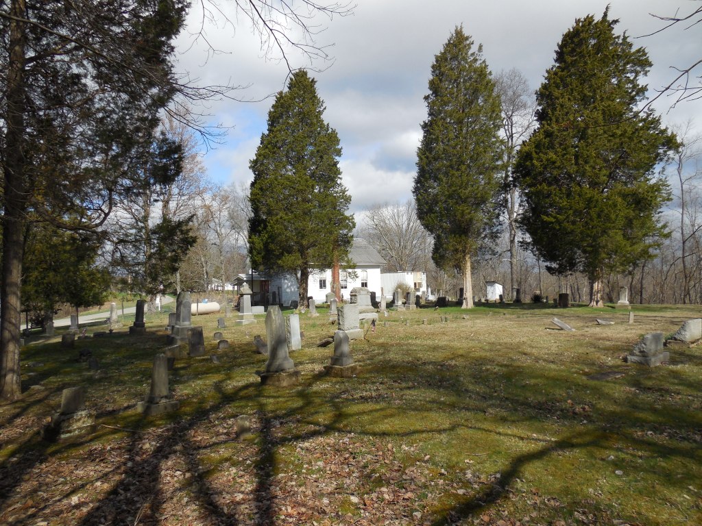
Nebraska (Hedges’ Store) – Walnut Township, Pickaway County
Post Office: 1853 – 1902
Location: 39.697521, -82.892536
on Winchester Rd along Turkey Run between S Bloomfield Royalton Rd (Township Hwy 29) and Ashville – Fairfield Rd
Remnants: 1. Nebraska Grange at the GPS coordinates – 2. Hedges Chapel at the intersection of Winchester Rd and S Bloomfield Royalton Rd – 3. Reber Hill Cemetery on the east side of Winchester Rd 1 mile south of the GPS coordinates
Description: The town started with the formation of the Hedges’ Chapel congregation in 1841. The original church was constructed in 1843 in the northwest lot of the intersection of Winchester Rd and SR 752 on land donated by Cyrus Hedges (1799 – 1866). The town’s first proprietor was Andrew Hedges. He opened a general store and post office called Hedges’ Store in 1853 that still stands at the GPS coordinates. Andrew sold the store in 1856, and after changing ownership a couple of times, brothers David Weaver (1828 – 1907) and William Weaver (1838 – 1932) purchased it in 1859. David was appointed to the postmaster position the previous year and changed the office name to Nebraska in 1862. He bought William’s share of the store in 1864. The town also had a saw mill on Little Walnut Creek, 2 small brickyards, a shoe shop, school, and a doctor.
Nebraska Grange No. 64 was organized in 1878. The second floor of the store and post office was converted into the grange hall in 1879. A new church was constructed at the present location in 1887. David Weaver held the postmaster position for 44 years until it was discontinued in 1902, making him one of the longest serving postmasters in the entire country at the time. Most of Nebraska’s residents, including many members of the Hedges and Weaver families, were buried in Reber Hill Cemetery.
Cars Run (Carrs Run) – Jackson Township, Pike County
Post Office: 1889 – 1905
Location: 39.095899, -82.866258
on Carrs Run Rd between SR 335 and Ervin Hill Rd
Remnants: Liberty Valley A. M. E. (Carrs Run) Church on the east side of Carrs Run Rd 2 miles north of the GPS coordinates, Carr’s Run Cemetery across the road from the church, stone historical marker in the cemetery, old houses and farm buildings in the area
Description: Farming and timber harvesting were the main industries in this very small town with two churches. Philadelphia Missionary Baptist Church was constructed in 1882 and is no longer active. The Liberty Valley A. M. E. congregation formed in 1888 and is still in operation with its original wood frame church and Sunday school building.
A school and the post office were on the west side of Carrs Run Rd at the GPS coordinates. Peter Leist (1838 – 1924) was the postmaster. He was buried with relatives in Beaver Union Cemetery about 6 1/4 miles southeast of the GPS coordinates on the north side of Beaver Pike. The stone historical marker in Carrs Run Cemetery is very new and concerns an addition to the grounds in 2017 and its land clearance in 2018.
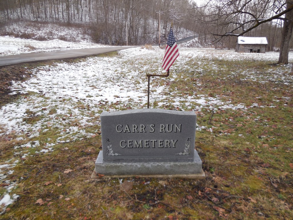
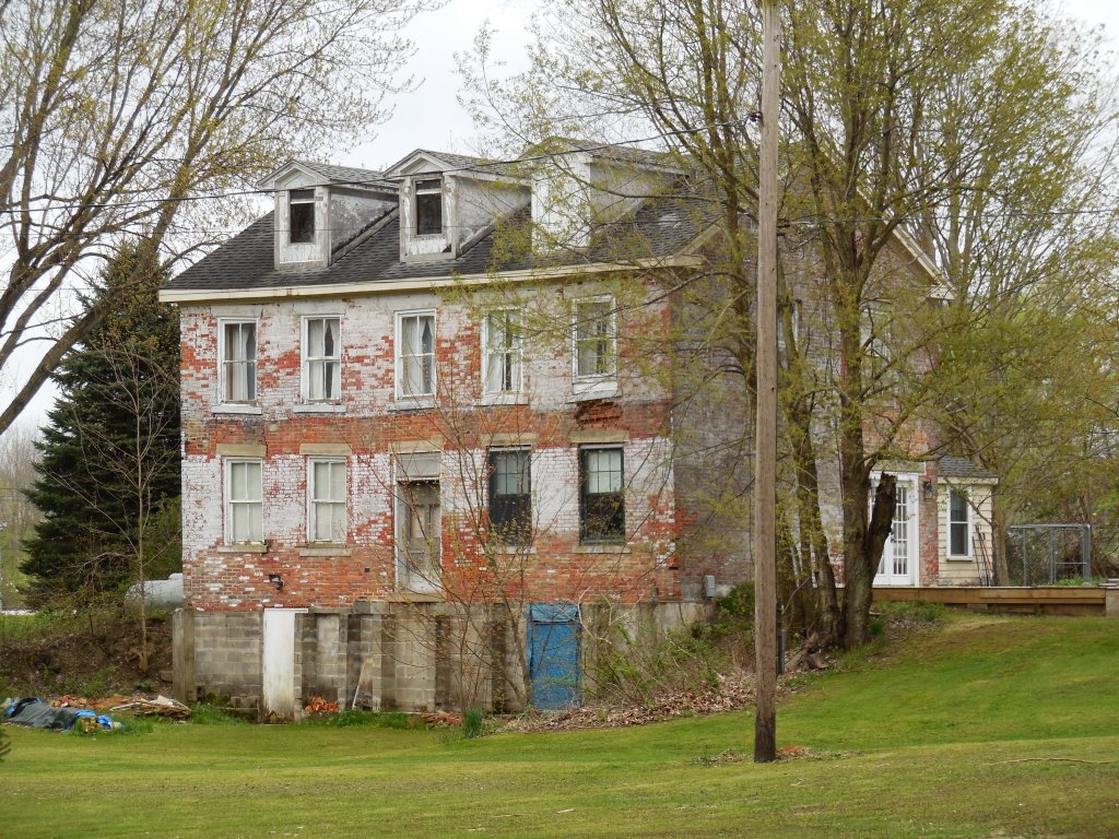
Cackler’s Corners – Franklin Township and City of Streetsboro (formerly Streetsboro Township), Portage County
Location: 41.202836, -81.378368
on Seasons Rd at the intersection of Cackler Rd along Tinkers Creek
Remnants: 1. Cackler Cemetery on private property on the north side of Cackler Rd just west of the GPS coordinates – 2. former Cackler residence in the lot in the southwest corner of the intersection – 3. old houses and farm buildings in the area
Description: The original proprietors were War of 1812 veteran Christian C. Cackler Jr. (1791 – 1878) and Tharisa (Nighman) Cackler (1791 – 1869) who both moved to Ohio from Pennsylvania with their parents in the first decade of the 1800s. Christian’s parents were Revolutionary War veteran Christian C. Cackler Sr. (1756 – 1830) and Julia Ann (Zediker) Cackler (1759 – 1831). Theresa’s parents were Adam Nighman (1764 – 1835) from Maryland and Elizabeth (Myers) Nighman (1772 – 1840). Christian Jr. and Theresa were married in 1814, the first wedding in Franklin Township, and settled in Streetsboro Township in 1816. They had 12 children, a 370-acre farm surrounding the GPS coordinates, and owned a blacksmith shop in the northwest corner of the town’s main intersection.
Christian and Theresa also donated land for the track bed of the Cleveland & Pittsburgh Railroad and a school (Streetsboro Township No. 8) 1/3 of a mile north of the GPS coordinates in the northwest corner of the intersection of Seasons Rd and Ravenna Rd. A private residence is currently in the same spot and appears to likely have been the school, but we haven’t confirmed that yet. Many of Christian’s memories of the county’s pioneer times were documented in a book he wrote in 1870 called Recollections of an Old Settler. The info was used to compile later county history books and was republished under the same title by The Kent Courier in 1904. Christian and Theresa’s last residence was beautifully depicted on page 60 of the 1874 county atlas. It was constructed in 1829 with bricks produced on the property and still stands in the southwest lot of the town’s main intersection.
The house and farm were inherited by Christian C. Cackler III (1836 – 1932) and Elizabeth (Bentley) Cackler (1843 – 1919). They got married in 1862, had 4 children, and were buried with relatives in Standing Rock Cemetery about 4 miles southeast of the GPS coordinates on SR 43 (N Mantua St) in Kent. During the time period when Christian III and Elizabeth owned the farm, a granary, large barn, and 2 silos were constructed on the property which all maintain their existence today. Christian Jr. and Theresa were laid to rest with relatives and other residents, including their parents, in Cackler Cemetery. Access to the cemetery is available by contacting the City of Streetsboro.
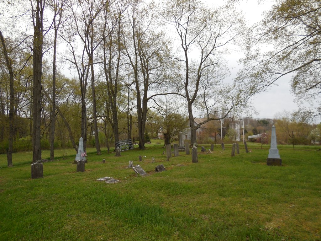
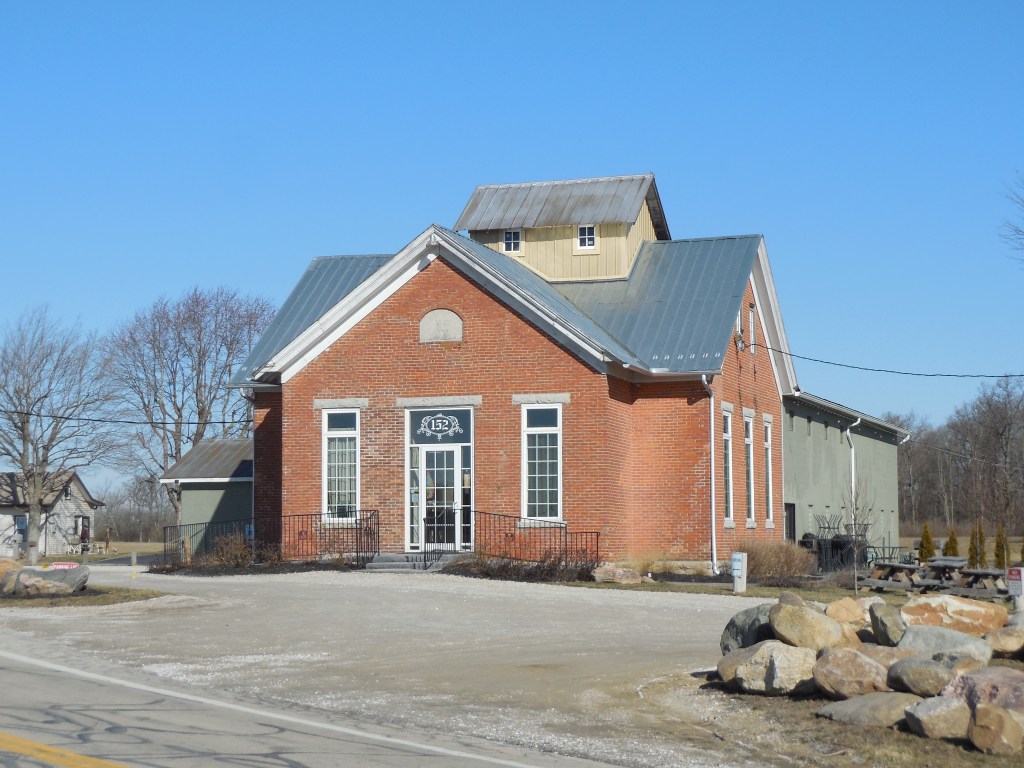
Oklahoma – Washington Township, Preble County
Location: 39.786545, -84.634976
on US 127 at intersection of SR 726 along Bantas Fork
Remnants: 1. former school on SR 726 at the interesection of Alexander Rd – 2. old houses and farm buildings in the area
Description: The first known business in the vicinity was a saw mill on the north side of Bantas Fork just east of the GPS coordinates on a 200-acre farm owned by the Risinger family. It was pinpointed in the 1871 county atlas. A steam-powered saw mill was pinpointed on the 1887 county map on the north side of Alexander Rd at the corner of SR 726. The school (Washington Township No. 4) was constructed in 1890 and closed in 1929.
It was recently restored and now operates as the Olde Schoolhouse Vineyard & Winery owned by Mark and Angela Zdobinski and Jim and Beth Meeks. Mark and Jim served together on the Preble County Farm Bureau Council. Grapes are grown on the old farm next to the school in the hopes of producing wine from them in the future. Wine tastings are held in the old school and the business occasionally has live entertainment and guest visitors.
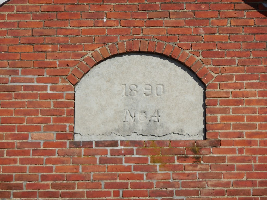
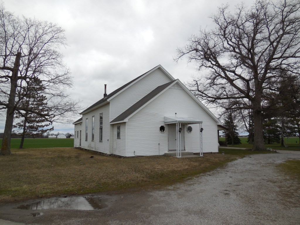
Clevengers – Union Township, Putnam County
Location: 40.967736, -84.185517
on SR 115 between Rd Z (County Hwy Z) and County Hwy 16-O along the Ottawa River
Remnants: 1. Clevenger Cemetery at the GPS coordinates – 2. Thompson Primitive Baptist Church 2 miles south of the cemetery at the intersection of SR 115 and Rd P (County Hwy P)
Description: The original proprietors were George Clevenger (1808 – 1888) and Elizabeth (Sarber) Clevenger (1809 – 1897). They were farmers, settled in Union Township in 1830, and had a few children. George was elected as a township supervisor in 1835. The Clevenger family owned well over 1,000 acres of farmland along the Ottawa River in Washington Township south of Khalida by publication of the 1880 county atlas.
A school was on the east side of SR 115 south of the GPS coordinates on land owned by Jacob Blosser (1830 – 1892) from York County, Pennsylvania and Sophronia (Sietz) Blosser (1833 – 1933) from Fairfield County. Another school on the east side of Rd 17N on a farm owned by the Runkel family served residents on the west side of the Ottawa River. The Clevengers and Blossers, were members of Thompson Primitive Baptist Church. Its congregation formed in 1869 and the current church was constructed in 1894. Everyone mentioned in this listing was buried in Clevenger Cemetery.
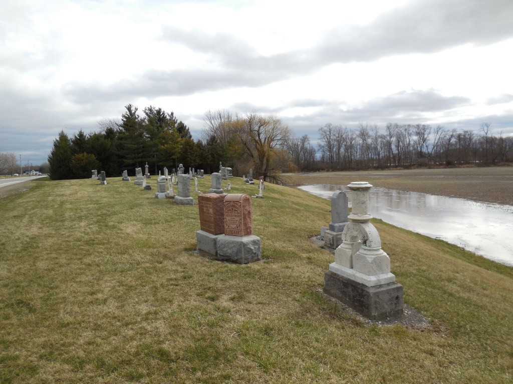
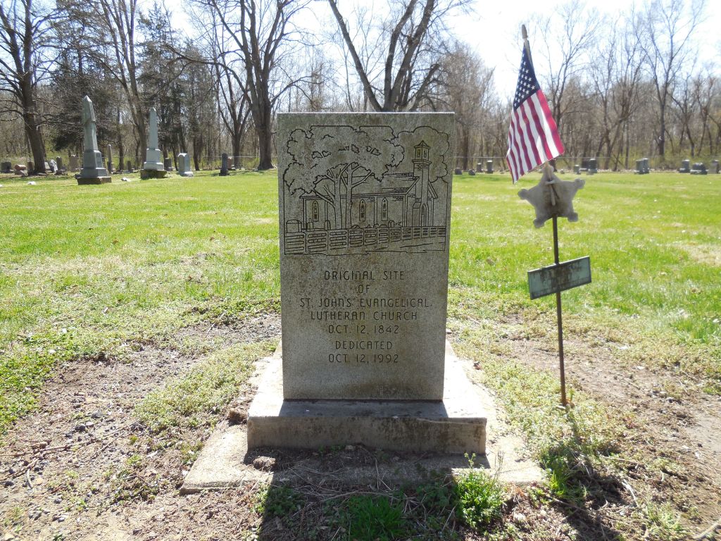
Saint Johns – Monroe Township and Worthington Township, Richland County
Location: 40.645902, -82.348967
on Covert Rd (Township Hwy 637) off of SR 95 on the north side of Pleasant Hill Lake
Remnants: 1. Saint John Cemetery at the GPS coordinates – 2. stone historical marker for the church just inside the cemetery gate entrance
Description: The town was named after its Evangelical Lutheran church and cemetery that was established on a farm owned by the Darling family. War of 1812 veteran William Darling (1789 – 1855) from Hardy County, Virginia (now in West Virginia) moved to Muskingum County, Ohio with his parents and family in 1806. He settled in Richland County in 1817 and purchased 1,185 acres in one tract and a few smaller farms in other locations. William married Mary (Ravenscraft) Darling (1784 – 1867) and had several children.
The church congregation organized in 1838. Its original wood frame structure, completed in 1842, was replaced with a much larger brick church in 1870 at a cost of about $5,000. A stone historical marker in the cemetery was dedicated in 1992 and has a nice pictorial engraving of the church. Over 100 members of the Darling family are interred in the cemetery, including William and Mary. It was spared by nature from potential inundation when Pleasant Hill Lake was created in 1936 for flood control in the area, but much of the former town’s land was submerged by its waters.

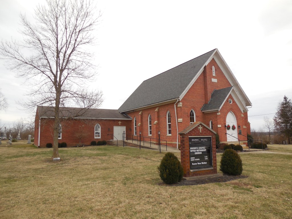
Brownstown – Deerfield Township, Ross County
Location: 39.493648, -83.103051
on Browns Chapel Rd between Brown Rd (Township Hwy 132) and Westfall Rd at the confluence of Hay Run and Deer Creek
Remnants: 1. Browns Chapel and Cemetery about 1/2 of a mile south of the GPS coordinates
Description: The town was founded by Revolutionary War veteran White Brown (1749 – 1842) from Sussex County, Delaware. White purchased 500 acres of land in Deerfield Township and moved there in 1801 with his sons and 40 slaves which were freed upon arrival in the safety of their new home. White, his sons, and the former slaves cleared the land and raised a crop of corn. A large barn constructed on the Brown homestead in 1803 was used as the first Methodist church in the township. The rest of the Brown family in Delaware joined the family in Ohio that same year.
White constructed the first saw mill in the township next to Deer Creek, served as township trustee, and donated the land for Brown Chapel Cemetery in 1805. A grist mill was added to the saw mill in 1815. The barn continued to be used as the church until 1818 when it was replaced with a new structure. Another wood frame structure replaced it around 1835 and the current brick church was completed in 1871. Several generations of the Brown family continued the tradition of milling and farming in the area after White passed away.
A mill stone at Brown’s Chapel, which was used in Brown’s Mill from 1815 to around 1870, marks the spot of the original barn church and has a historical plaque with info. The town also had a brick one-room schoolhouse in the late 1800s on land owned by the Hyde family, west of the GPS coordinates on the south side of Brown Chapel Rd at the intersection of Brown Rd. White was married 3 times, had 12 children, and was laid to rest in the cemetery. About 80 of his descendants are currently interred there.


Hoovers Corners (Hardscrabble) – Ballville Township, Sandusky County
Location: 41.263752, -83.131161
on Tiffin Rd at the intersection of Deran Rd along Indian Creek
Remnants: Decker (Hoover) Cemetery on the west side of Tiffin Rd just north of the intersection
Description: This small farming town was founded by German immigrants Lawrence Hoover (1807 – 1882) and Mary Hoover (1811 – 1889) who were early pioneers in the county and owned a 100-acre farm on the west side of the intersection. They were buried in the cemetery with 3 of their children named Henry, Mary, and Lawrence who all passed away at young ages. The cemetery was established on the northern end of the Hoover farm. A church in the southeast corner of the intersection was built in the mid-1850s and there was a school on the north side of E Deran Rd just east of Indian Creek (formerly Sugar Creek). They were both pinpointed in the 1874 county atlas.
The Decker family was the most prominent in the area in the mid to late 1800s, led by Benjamin Decker (1816 – 1901) and Elizabeth (Myers) Decker (1823 – 1889) who moved to Ohio from Pennsylvania and had several children. They were also laid to rest with relatives in the cemetery. It’s unknown when the area went by Hardscrabble, which was a common locality name in the 1800s. The term referred to the hardships of farming land that was tough to cultivate and the economic struggles which went along with it.
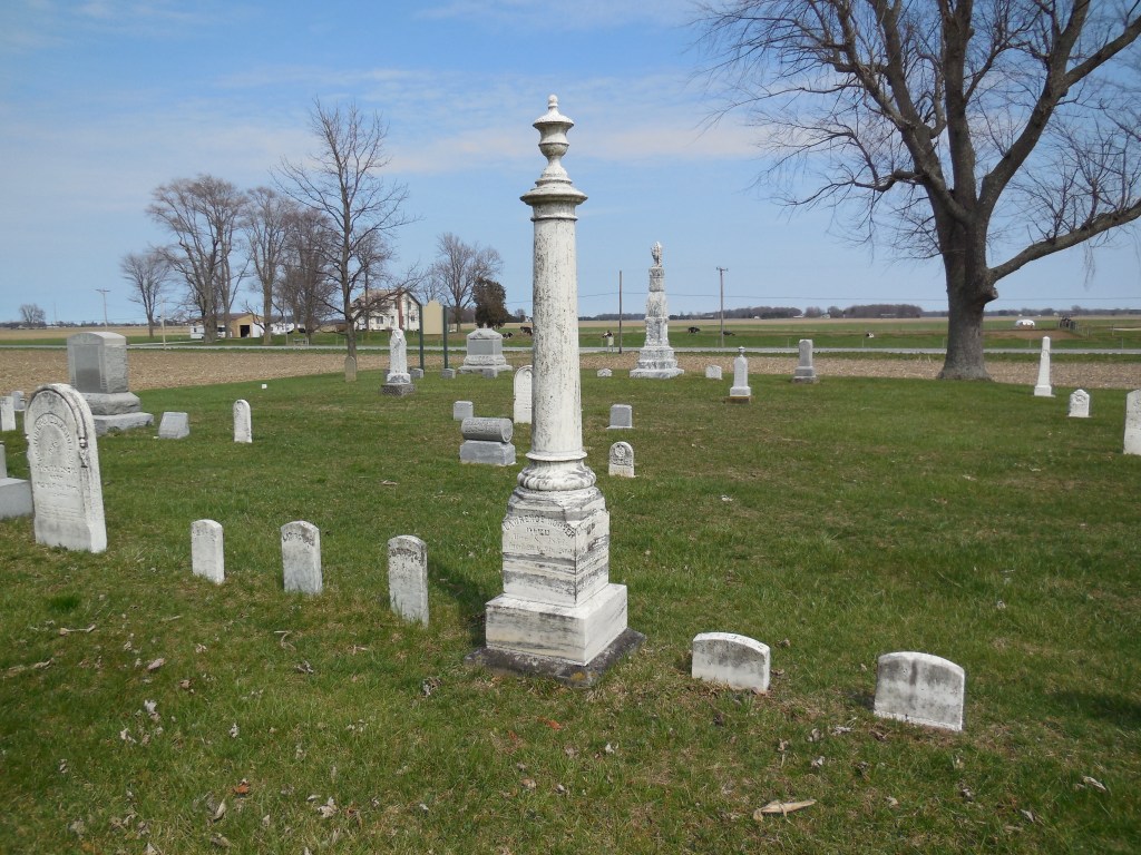
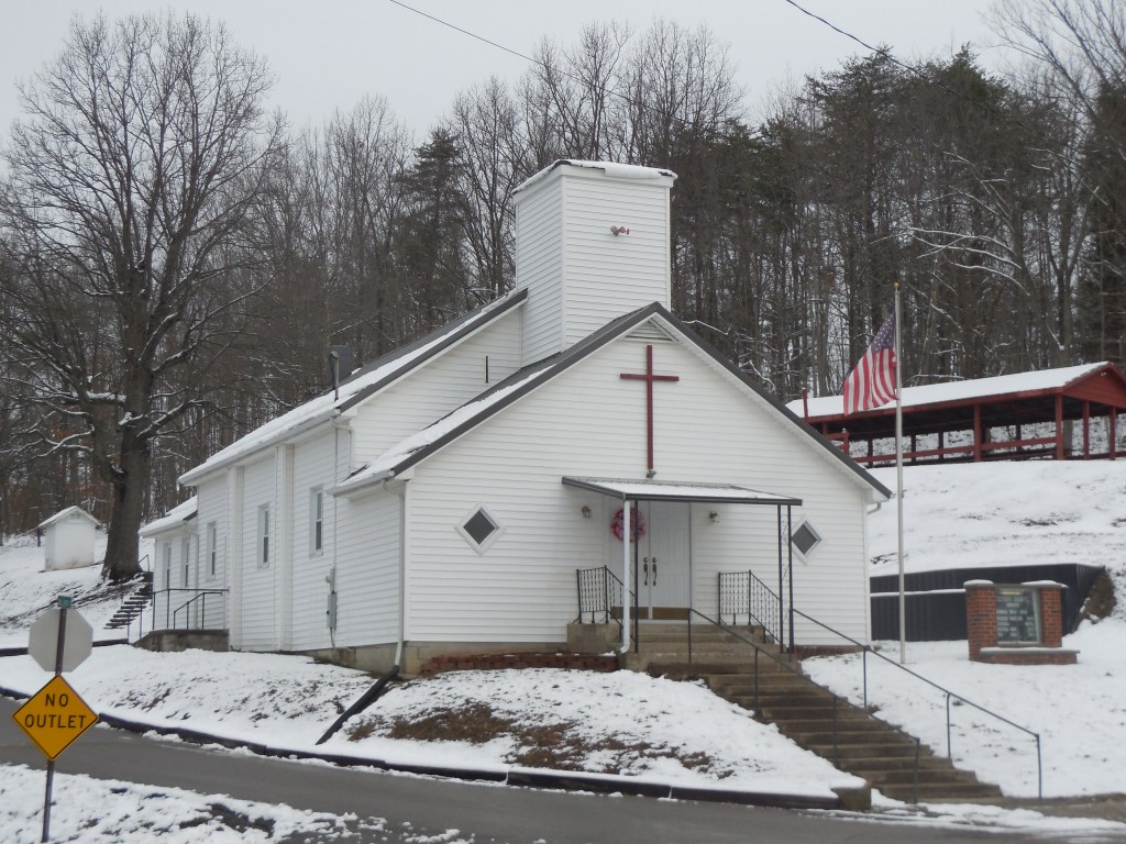
Diffen (Fallen Timber) – Jefferson Township, Scioto County
Post Office: 1890 – 1904
Location: 38.929260, -82.937194
on Millers Run – Fallen Timber Rd at the 5-way intersection of Rose Hill Rd (County Rd 184), Sherborne Rd (Township Hwy 187), and Jacobs Cemetery Rd (Township Hwy 188)
Remnants: 1. Victory Chapel in the northwest corner of the intersection – 2. Jacobs Cemetery at the northern end of Jacobs Cemetery Rd – 3. Fallen Timber Church on Millers Run – Fallen Timber Rd about 1/2 of a mile northwest of the GPS coordinates
Description: The town was founded by Irish immigrants John Diffen (born c. 1812 – 1879) and Catherine (Nolan) Diffin (1836 – 1898). A school was on the Snyder farm between Coon Hollow Rd and Jacobs Cemetery Rd. Victory Chapel appears to be in great shape for its age and the current Fallen Timber Church structrue was completed in 1946. John and Catherine Diffin had a few children and were buried with relatives in Jacobs Cemetery. Civil War veteran James H. McWilliams (1838 – 1906) was the postmaster and also served as a justice of the peace in Jefferson Township. James was buried with relatives in Greenlawn Cemetery on Offnere St in Portsmouth.
An interesting story surrounding the town popped up in the late 1800s. Lorenzo Dow McKinney (1816 – 1904) was a widower and wanted to have his funeral services held on his 80th birthday, provided that he lived that long, so he could enjoy the festivities along with anyone who wanted to show up. He also vowed to get married again if he made it alive to the funeral. News of Lorenzo’s plans spread like wildfire across the country and was published in numerous papers with an attached picture of him. Lorenzo received over 100 letters from women all over the country to take him up on the marriage offer.
As it turned out, Lorenzo was still alive on the 17th day of June in 1896. An estimated 6,000 – 8,000 people attended his living funeral in the grove at Fallen Timberon the Diffen family farm. Lorenzo thoroughly enjoyed the attention from reporters and the attendees, carrying those memories with him until he finally departed this world 8 years later. However, Lorenzo didn’t keep his promise to get married again. He was buried with relatives 6 1/2 miles southeast of Diffin in Squire Cemetery on SR 335 on the north side of Minford.
A great-grandson of Lorenzo, Gerald McKinney, also had a living funeral on June 7, 1965 at the Scioto County Fairgrounds in Portsmouth. His father wanted to do the same, but didn’t make it to the age of 80. Not wanting to take that chance, Gerald had his at age 42. Approximately 1,000 guests showed up, some friends and some complete strangers who just wanted to witness the spectacle. Gerald rode in the front seat of the hearse, wearing a dark suit and a dark tie, to attend his 80-minute service and subsequent reception.
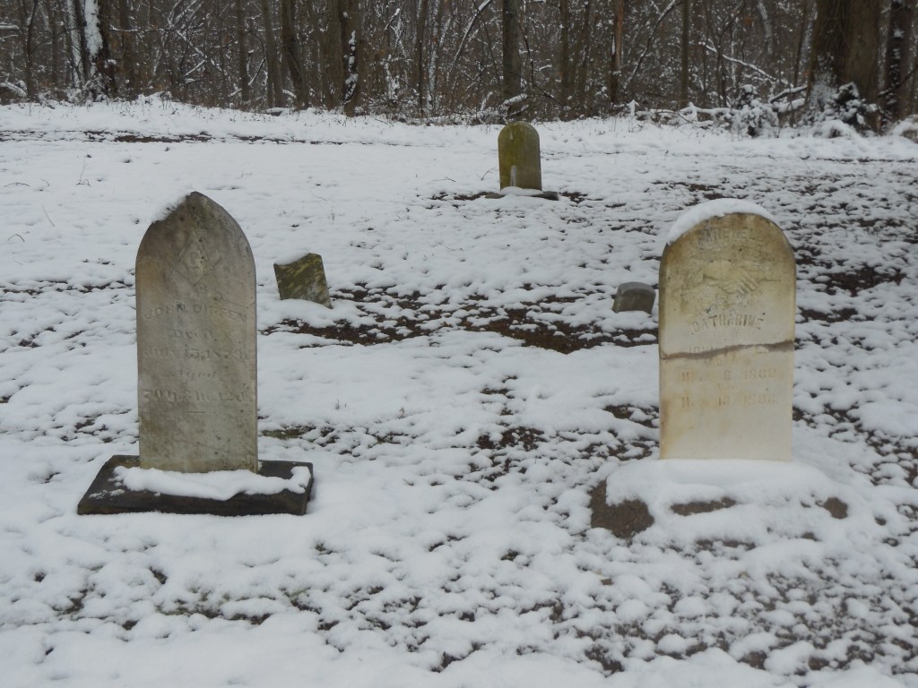
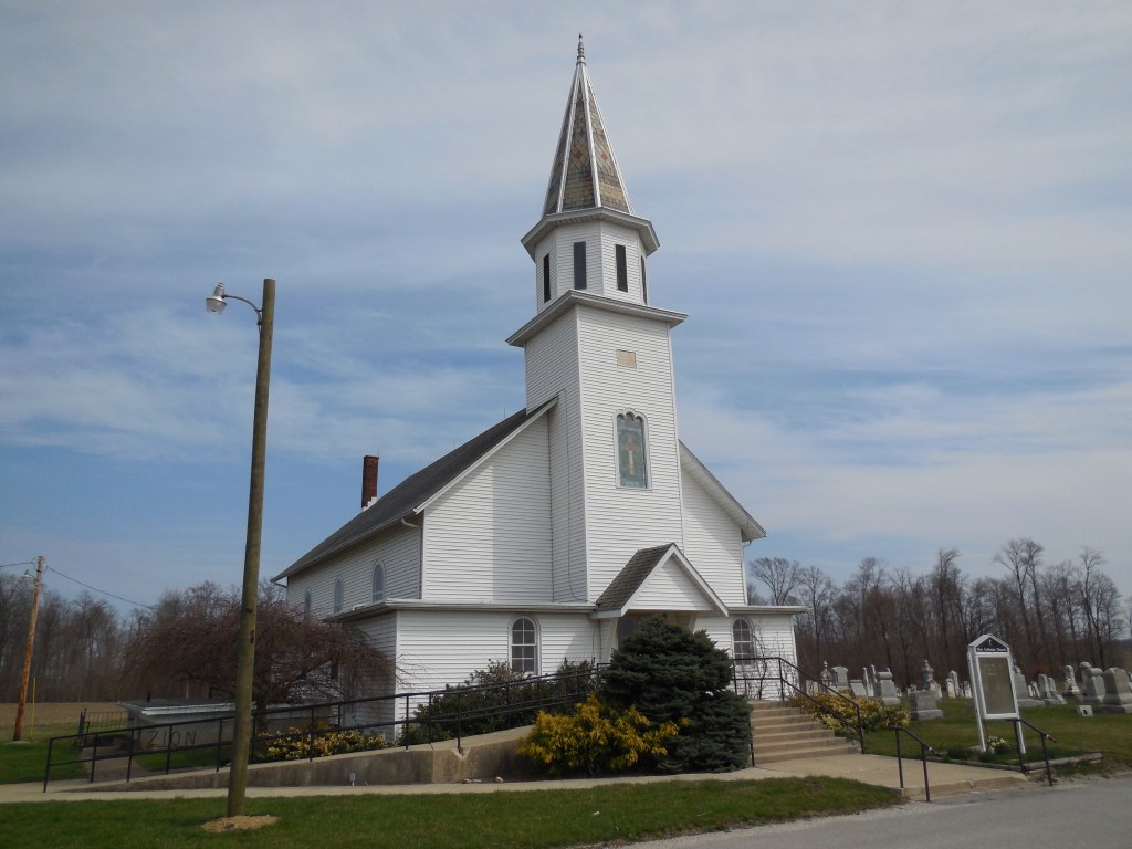
Adamsville – Adams Township, Seneca County
Location: 41.183414, -82.976322
on CR21 (County Rd 21) at the intersection of Tr0138 (Township Rd 138)
Remnants: 1. Zion Lutheran Church and Adams Lutheran Cemetery at the GPS coordinates – 2. Block Cemetery on the west side of CR 21 about 1/2 of a mile south of the GPS coordinates
Description: It was platted in 1846 by Daniel Kistler (d. 1858). The current Zion Lutheran Church (German) was built in 1885 at the same spot as its previous structure. Adamsville also had a school on the west side of CR21 across from Zion Lutheran Church and an Evangelical Lutheran church (English) at Block Cemetery. They were both on land donated by Joseph Neikirk (1806 – 1887) from Maryland and Barbara (Noel) Neikirk (1804 – 1869) from Pennsylvania. Joseph and Barbara got married in 1830 and had at least 7 children. Daniel was buried with relatives in Adams Lutheran Cemetery and the Neikirks were buried with relatives in Block Cemetery.
A large brick and granite marker along the front fence line of Block Cemetery appears to have the original date stone from the Evangelical Lutheran church structure plastered within it. The years of 1841 and 1979 are engraved in the large granite block above the church stone. As Adamsville faded away into history, Cooper (Cooperstown) sprang up barely south of the location at the intersection of SR 18 and Cr38 (County Rd 38). Adamsville was called “quondam” in the 1886 county history book, meaning it had already lost its existence.
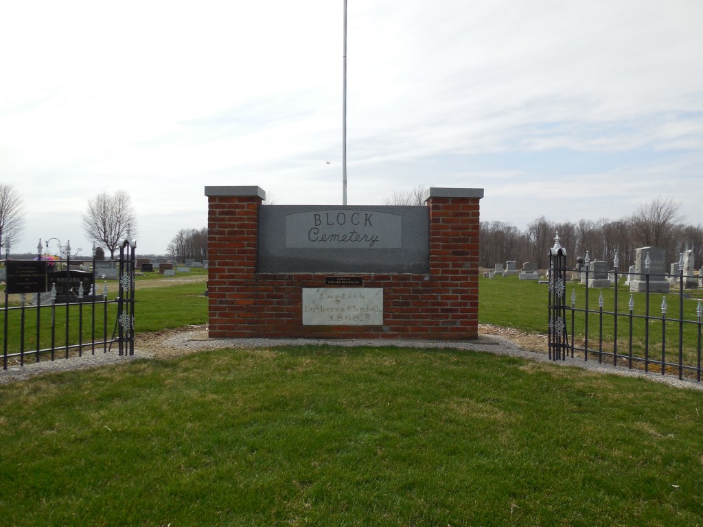
Hageman – Green Township, Shelby County
Location: 40.208321, -84.077508
on Dorsey – Hageman Rd at the intersection of Kirkwood Rd
Remnants: none known
Description: The town was founded by John P. Hageman (1830 – 1916) who arrived in the area from Hamilton County in 1850. Along with 2 of his brothers, William and George, John built a steam-powered saw mill in the southeast corner of the intersection in 1854 and operated it for several decades. The building was 50 x 36 feet with a 32 horsepower engine and an upright saw which produced about 2,500 feet of lumber per day. John married Elizabeth (Robinson) Hageman (1834 – 1908) in 1859 and had 4 children.
There were a couple of local schools pinpointed on the 1865 county map. One of them (Green Township No. 1) was a mile southwest of the GPS coordinates on the west side of Wiles Rd. The other school (Green Township No. 5) was 1 1/2 miles northeast of the GPS coordinates in the southeast corner of the intersection of Middleton – Hume Rd and Leatherwood Creek Rd. Green Township No. 1 was replaced by a newer building just south of the original location in the northeast corner of the intersection of Wiles Rd and Suber Rd prior to publication of the 1875 county atlas. Green Township No. 5 moved to the northwest corner of its intersection prior to publication of the 1900 county atlas.
John enlarged the mill in 1880 and swapped the old engine with a 40-horsepower unit running 2 circular saws. The changes increased production to 8,000 feet of lumber per day and employed more residents. Other items sold by the company included lath boards for houses, picket fence boards, and wagon supplies. John and Elizabeth were buried with many relatives about 2 miles north of the GPS coordinates in Plattsville Cemetery on the west side of Leatherwood Creek Rd (Township Hwy 152).
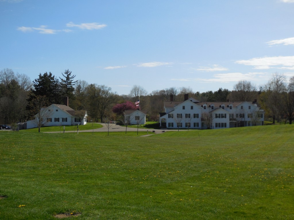
Congress Lake – Lake Township, Stark County
Location: 40.977576, -81.330366
on West Dr NE at the intersection of West Dr next to Congress Lake
Remnants: 1. Manor House in Quail Hollow Park at 13480 Congress Lake Ave NE Hartville, OH 44632 – 2. Brumbaugh Cemetery on hiking trails in the park
Description: Unlike most of the lakes we run across while researching and exploring, Congress Lake is natural and was formed by an ice age glacier. The section of the lake where the ghost town is was in what was called the Congress Lands just south of the Connecticut Western Reserve prior to Ohio becoming a state. Revolutionary War veteran Conrad Brumbaugh (1768 – 1859) from Frederick County, Maryland acquired a large farm on the east and south sides of the lake. After his first wife Elizabeth (Miller) Brumbaugh (1770 – 1805) passed away in Pennsylvania, he married Catherine (Markley) Brumbaugh (1779 – 1855) in 1806.
The Brumbaugh’s original two-story log cabin was completed in 1820. The family built a much larger house and barn for their new residence in 1842. It also had a summer house and a nice courtyard. Conrad and Elisabeth were laid to rest with relatives and other residents in the cemetery. William and Mary Rubright purchased land in the area in 1867 and built the first section of the Manor House. Harry and Minnie Stewart bought the land in 1901 and expanded the house to 40 rooms from 1914 – 1929.
The park conducts several tours of the house from May through October. Congress Lake had a train station on the Cleveland, Canton, & Southern Railroad, later bought by the Wheeling & Lake Erie Railroad. The station closed in 1939. Conrad and Catherine were buried with relatives in Brumbaugh Cemetery. Quail Hollow Park at 13480 Congress Lake Ave NE Hartville, OH 44632 has many recreational activities among the historical remnants of the past. Whether paying to play or exploring for free, there’s plenty to check out and do.
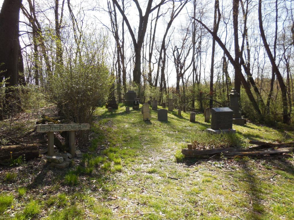

Chafee – Sagamore Hills Township (formerly in Northfield Township), Summit County
Location: 41.316580, -81.577869
on SR 82 at the intersection of Chaffee Rd
Remnants: 1. Station Road Bridge Crossing the Cuyahoga River about 1/2 of a mile northwest of the GPS coordinates – 2. Canal Lock #17 with a historical marker about 1/3 of a mile north of the bridge along the Ohio & Erie Canal Towpath Trail
Description: Chaffee was along the Ohio & Erie Canal and had a steam-powered saw mill between the canal and the Cuyahoga RIver. It was founded in the mid-1800s by Comfort J. Chaffee (1817 – 1908) and Asenath (Ferry) Chaffee (1819 – 1904), both born in Massachusetts. They got married in 1845, had 2 children, and accumulated a 375-acre farm. The farm produced milk with around 70 cows and the family later switched to livestock raising. Timber from the Chaffee farm was also cut in the saw mill and some of it was used to construct boats.
A school was east of the GPS coordinates on the south side of SR 82 just east of Carter Rd. The canal lock was pinpointed in the 1874 county atlas. Station Road Bridge was completed in 1882 by the Massillon Bridge Company. Its currently open to pedestrian traffic and leads to the Brecksville station of the Cuyahoga Valley Scenic Railroad. The bridge was replaced in 1931 by the present concrete structure just to its north on SR 82. After an extensive and exhaustive search, it’s unknown where Comfort and Asenath were laid to rest.
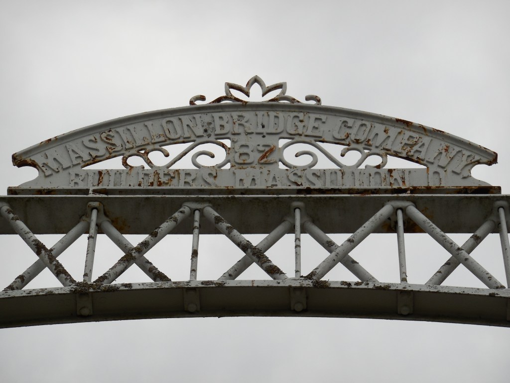
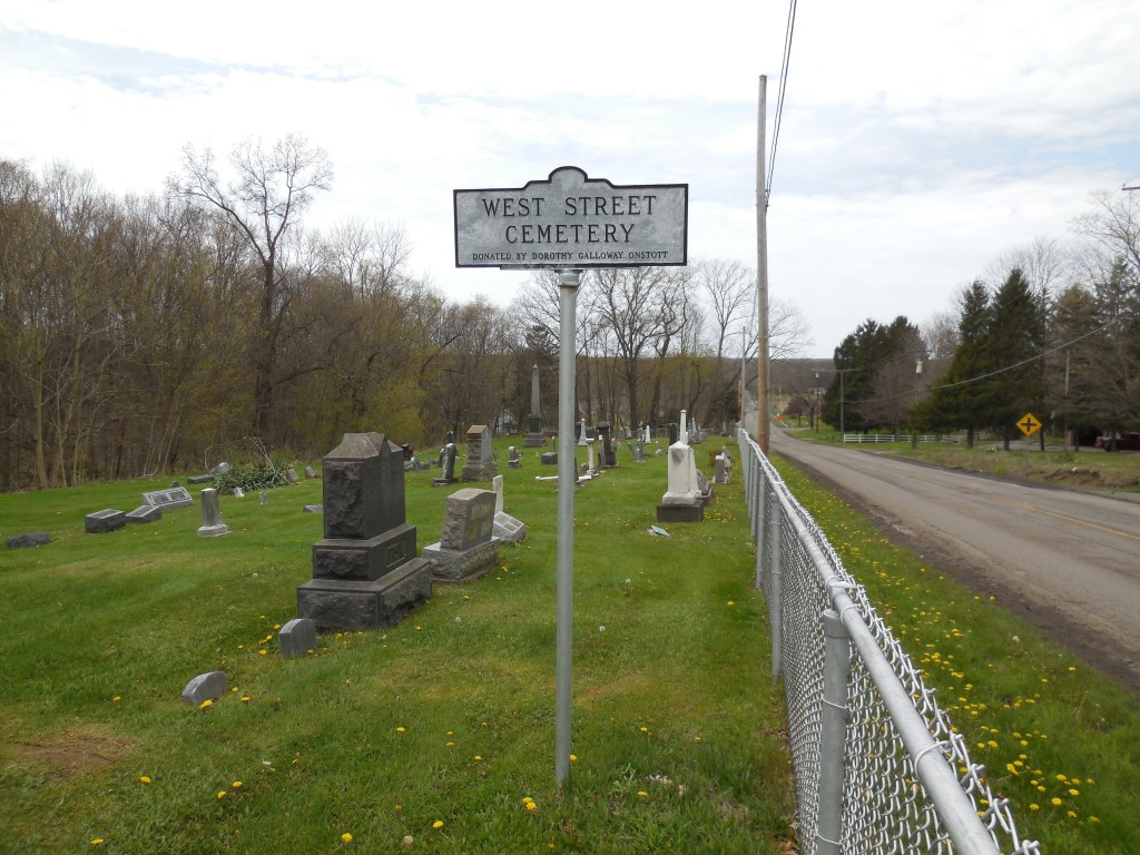
Antietam – Hartford Township, Trumbull County
Post Office: 1892 – 1904
Location: 41.332484, -80.598248
on Bushnell Campbell Rd (Co Hwy 185) at the intersection of Spencer Clark Rd (Township Hwy 189)
Remnants: 1. West Street Cemetery south of the GPS coordinates on SR 305 (Wilson Sharpsville Rd) east of Bushnell Campbell Rd – 2. old houses and farm buildings in the area
Description: Antietam was founded by the Spencer family in the area which was from Hartford County, Connecticut. Thomas C. Spencer (1842 – 1922) was the first postmaster. He married Jane (Miller) Spencer (1848 – 1928) and they owned an 81-acre farm on the west side of the GPS coordinates. Sophronia Jane (Spencer) Knight (1843 – 1910) was the last postmaster. She married Civil War veteran Frederick H. Knight (1842 – 1893) in 1866.
A saw mill was on the east side of Bushnell Campbell Rd south of the GPS coordinates was owned by Charles Banning (1821 – 1903) and a school (Hartford Township No. 7) south of the mill was on land owned by Dr. James Irwin (1843 – 1894) from Ireland and Anna (Bushnell) Irwin (1841 – 1901). Sophronia and Anna were likely friends, or at least knew each other. They were both born in Trumbull County and were members of their respective families who had local roads named after them. Thomas and Jane were laid to rest in Oakwood Cemetery on SR 169 (Niles Rd SE) in Warren. Everyone else mentioned in this listing was buried with relatives in West Street Cemetery.
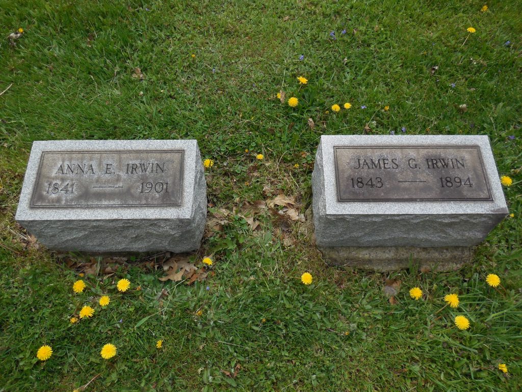
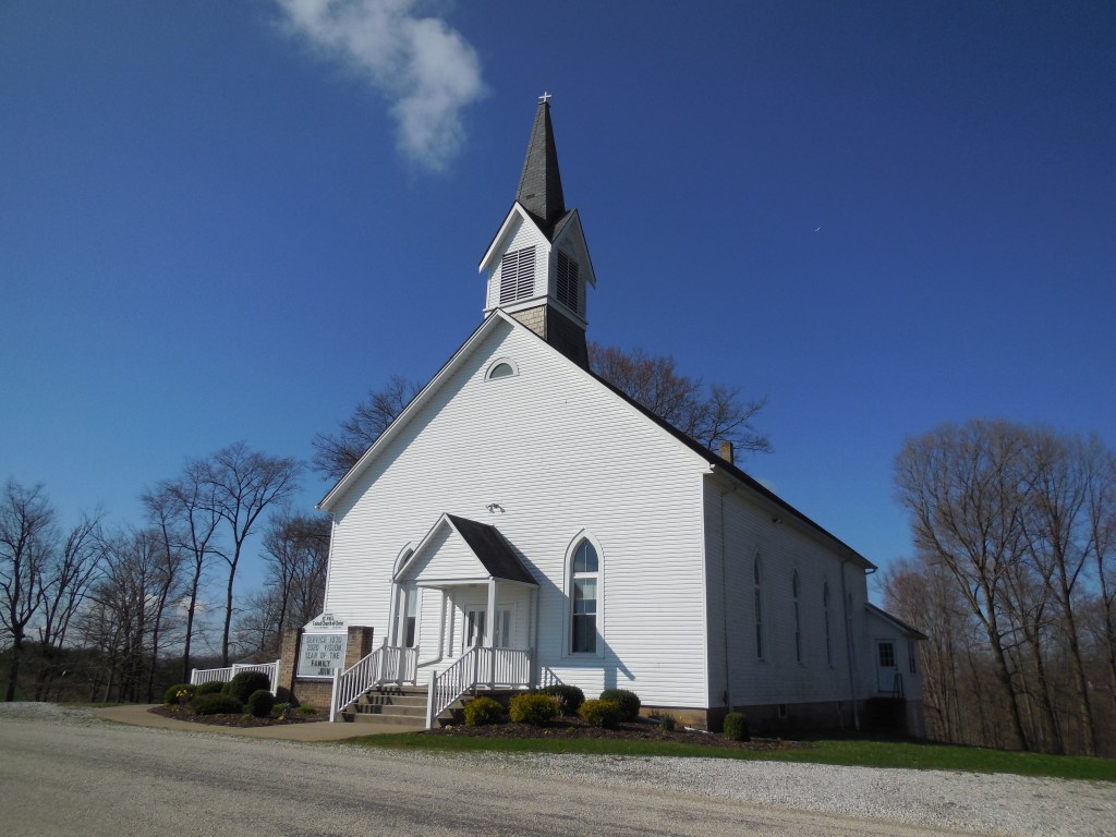
Holly – Bucks Township, Tuscarawas County
Post Office: 1892 – 1901
Location: 40.380339, -81.688590
on Renner Rd (Co Hwy 41) between Ridge Rd and Coal Rd (Township Hwy 92)
Remnants: 1. Renner’s St. Paul United Church of Christ and Cemetery on Renner Rd about 1/2 of a mile south of the GPS coordinates – 2. old houses and farm buildings in the area
Description: Holly was a small farming and postal town. The church started out as a log building and was replaced with the present wood frame structure in 1871. The building and cemetery sit on a beautiful location along the rolling hills of Bucks Township. A school was pinpointed in the 1875 county atlas a mile north of the GPS coordinates in the southwest corner of the 4-way intersection of Renner Rd, Gunther – Miller Rd, and Ridge Rd. It was on a 200-acre farm owned by Jacob S. Gonter (1815 – 1898) and Anna (Stilgenbaur) Gonter (1811 – 1882). They were laid to rest with relatives in Fiat Cemetery about 3 3/4 miles northeast of the GPS coordinates on the northeast side of Indian Spring Rd (Township Hwy 96).
The old school was replaced prior to publication of the 1908 county atlas with Town Quarter No. 6 about 3/4 of a mile north of the GPS coordinates on the north side of Townquarter Dr which is now defunct and just leads to a private residence. Town Quarter was the nickname of the nearby ghost town of Greensburg. It was platted in 1817 and never grew any. George W. Everhart (1851 – 1902) was the postmaster at Holly. He was buried with relatives in Maple Grove Cemetery on N Walnut St in Dover. Good weather was hit-or-miss during my 2020 travels, as is the usual case during springtime in Ohio, and I was fortunate to be at this location on a nice day. It was probably the prettiest landscape I stopped at all year.
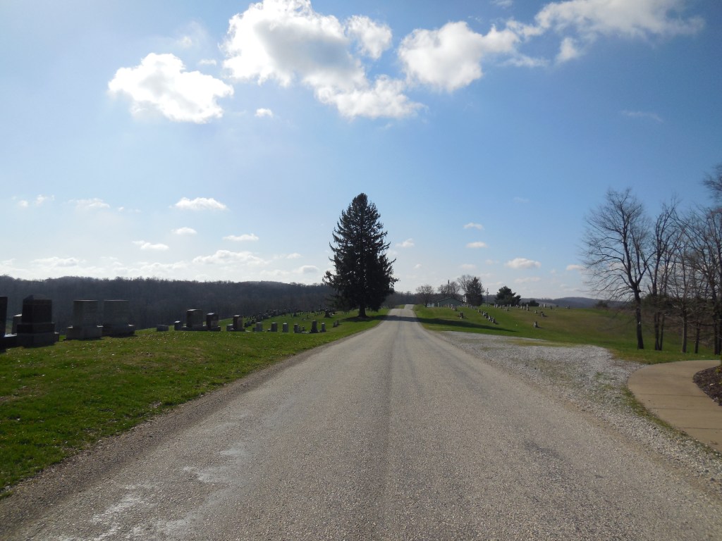
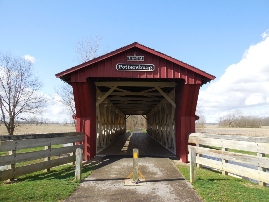
Coberlys (Coberly’s) – Allen Township, Union County
Post Office: 1832 – 1863
Location: 40.248438, -83.534485
on Inskeep – Cratty Rd (Co Hwy 163) at the intersection of N Lewisburg Rd along Big Darby Creek
Remnants: Pottersburg Covered Bridge and historical marker on the west side of Inskeep – Cratty Rd about 1/2 of a mile southeast of the GPS coordinates
Description: The town was founded by Joseph Coberly (1792 – 1875) from Virginia and Elanor (Jones) Coberly (1796 – 1865) from West Virginia. Joseph was also the town’s first postmaster and served as township trustee. There was a school on the north side of the intersection in the mid-1800s to early 1900s. The Coberly family moved out of the state and was laid to rest in Ridgeway Cemetery on the north side of E 125th St in Osage County, Kansas.
William Inskeep (1807 – 1888) was the second postmaster and was buried in Garwood Cemetery on Township Hwy 157 in Logan County. He was succeeded by Ebenezer W. Crary (1808 – 1846) who was laid to rest in Evergreen Cemetery on Main St in Painesville, Lake County. William Bales (1784 – 1875) from New Hampshire was the last postmaster. The original covered bridge, called Pottersburg or Upper Darby Bridge, crossing Big Darby Creek was constructed by Reuben Partridge (1823 – 1900) in 1868. It was moved to the North Lewisburg Trail in 2006. A new covered bridge crossing the creek on N Lewisburg Rd was built the same year.
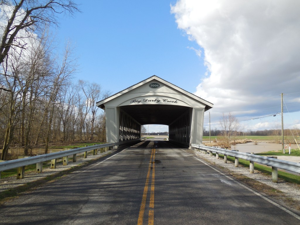
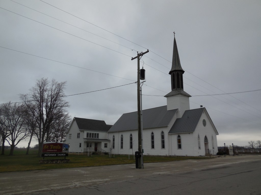
Frances – Harrison Township, Van Wert County
Post Office: 1893 – 1903
Location: 40.822364, -84.707628
on German Church Rd (Co Hwy 86) at the intersection of Convoy – Heller Rd (Co Hwy 55)
Remnants: 1. St. Paul’s Reformed Church and Evangelical Protestant Cemetery on the north side of German Church Rd just east of the GPS coordinates – 2. St. Thomas Lutheran Church on the north side of German Church Rd just east of Saint Paul’s – 3. old houses and farm buildings in the area
Description: This farming town was mostly settled by German immigrants in the 1830s with the Saint Thomas church congregation forming shortly after in 1839. Construction of their present brick church began in 1898. It was completed at a cost of $6,232 with the steeple stretching 102 feet toward the sky. Saint Paul’s congregation was established in 1841. Its current wood frame structure was built in 1893 at a cost of $5,000 with the steeple reaching 115 feet. They impressively stand in close proximity, seemingly competing for their higher power’s attention.
A tile works owned by the Germann family was on the north side of German Church Rd about 1/2 of a mile west of the GPS coordinates in the late 1800s. There was also a steam-powered saw mill a mile east of the GPS coordinates on the south side of German Church Rd. Phillip J. Germann (1843 – 1902) was the first postmaster. He married Sophia (Heffner) Germann (1851 – 1935) and had a few children. One of their sons, Conrad L. Germann (1876 – 1964), took on the postmaster position after his father passed away. They were all laid to rest in the cemetery and have over 100 relatives and descendants interred there.
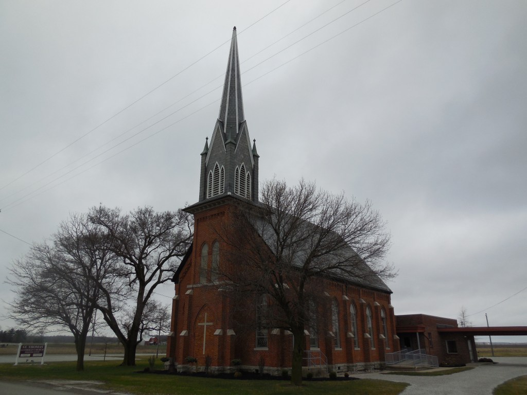

Richland (Richland Furnace) – Richland Township, Vinton County and Washington Township, Jackson County
Post Office: 1872 – 1886 and 1888 – 1914
Location: 39.186533, -82.596500
on hiking trails off of Richland Furnace Rd in Richland Furnace State Forest
Remnants: 1. Richland Furnace at the GPS coordinates – 2. Richland Tunnel on the railroad tracks – 3. dilapidated former town buildings in the area
Description: It’s one of the most remote ghost towns in the state, but visiting is well worth the effort it takes to get there. The town was originally called Agatha and was in Jackson County prior to 1850 when Vinton County was formed. Its post office by that name ran from 1856 – 1871. Richland Furnace, called The Cincinnati Furnace before it’s name changed, was in operation from 1854 – 1884 and had a train station on the Marietta & Cincinnati Railroad (later bought by the B&O).
Richland Tunnel is much like Kings Hollow Tunnel across the border in Athens County. They were both built with wood in 1855. Kings Hollow Tunnel isn’t in use anymore as the tracks were removed in the late 1980s, but Richland Tunnel is still active with trains. Bristol Tunnel, located on private property in Perry County, was also made with wood in 1871 – 1872. Its tracks were removed long ago and the tunnel was sealed up with concrete. They are the only 3 wooden railroad tunnels still known to exist in Ohio.
As with most iron furnaces in Ohio, Richland’s production stopped when the iron supply dwindled to the point of extraction costs becoming too expensive and importing iron from other places wasn’t a viable option. The town had a school north of the furnace on the east side of what was once the southern end of what Google Maps has listed as Wilbur Rd. It’s presently inaccessible to vehicle traffic. Company buildings and residences lined the railroad tracks and Wilbur Rd. Richland Tunnel is along the tracks just southwest of the GPS coordinates. There are also some foundations, dilapidated buildings tied to the town, and other remnants around the area.
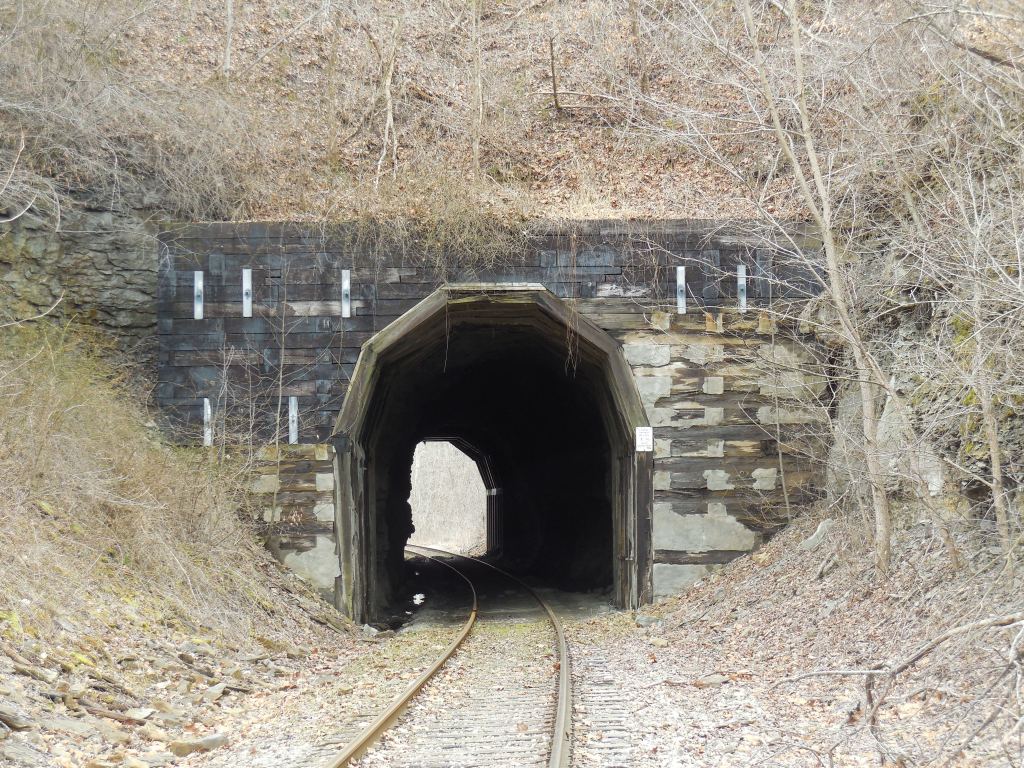
Butterworth (Butterworth Station) – Hamilton Township, Warren County
Location: 39.303441, -84.247777
on Sibcy Rd at the intersection of Butterworth Rd
Remnants: 1. Butterworth Stone House on Sibcy Rd west of Butterworth Rd – 2. Butterworth Farm wood frame house on the north side of Sibcy Rd just east of the stone house – 3. Butterworth Farm (Foster) Cemetery on private property on the south side of Sibcy Rd on top of the hill overlooking the valley – 4. historical marker at the site of Butterworth station along the Little Miami Scenic Trail
Description: Benjamin Butterworth (1766 – 1833) and Rachel (Moorman) Butterworth (1765 – 1848) got married in 1786, moved to Ohio from Virginia in 1812, and had 11 children. They were also members of the Quaker Society Of Friends, abolitionists, and freed the family’s slaves before leaving Virginia. Loveland was later platted on a 500-acre farm which Benjamin and Rachel purchased. Another large farm in Hamilton Township, the subject of this sketch, became the family’s home. A few of the Butterworth’s children settled on the land in the mid-1810s and Benjamin and Rachel built a modest stone house on the hill above a valley next to the Little Miami River. It was completed in 1820.
Henry Butterworth (1809 – 1893) and Nancy (Wales) Butterworth (1809 – 1909) from North Carolina inherited the stone house. They were married in 1830, donated land for a train station on the Little Miami Railroad in the early 1840s, and were also abolitionists, hiding and feeding runaway slaves traveling along the Underground Railroad. A water tower on the farm was used as a waiting station for the town’s flag stop on the Little Miami Railroad. The stone house received a few additions over the centuries and was restored by Butterworth descendants who still own the property. A large wood frame house on top a hill close to the stone house was also built by the Butterworth family. Everyone mentioned in this listing was buried in Butterworth Farm Cemetery.
Palmers Settlement (Browns Mills) – Palmer Township, Washington County
Post Office: 1819 – 1903
Location: 39.467608, -81.714381
on SR 676 between Buchanan Rd (C6) and Brownrigg Rd
Remnants: 1. Palmer United Methodist Church and former school at the GPS coordinates – 2. Gard (Palmer) Cemetery 1 mile northwest of the GPS coordinates on Gard Cemetery Rd off of SR 676 – 3. old houses and farm buildings in the area
Description: Joseph Palmer Jr. (1761 – 1831) and Hannah (Fox) Palmer (1763 – 1836) were both born in Windham County, Connecticut and arrived in the area in 1802 along with their 5 children. In 1803, they purchased a farm at the GPS coordinates and had another daughter. Joseph became the first justice of the peace in Palmer Township and served in the state legislature. Samuel Brown (1781 – 1872) from Hampshire County, Massachusetts built a mill next to West Branch Wolf Creek for the firm of Sharp & Hunt. Samuel subsequently purchased the mill and opened the post office. The office moved from Wolf Creek to Palmers Settlement in the mid-1800s and the town took on its name.
Several succeeding postmasters filled the position with the office moving around to their various residences. The local church congregation formed in 1825. Palmer United Methodist Church was constructed in 1837 on the old family homestead. It was restored in 1877 and again in 1892. The town house across from the church was built in 1891. A school next to the town house was constructed in 1856 and has since been lost to time. There were also a few general stores in the community in the 1800s, including a couple on the Palmer farm on the west side of SR 676 south of the town house. Gard (Palmer) Cemetery was established in 1817. Everyone mentioned in this listing was buried there with relatives and many pioneers from the area. The Palmer, Brown, and Gard families were all related by marriage.

Eight Square – Chester Township, Wayne County
Location: 40.857986 -82.068183
on Smithville Western Rd (Co Hwy 86) along Little Killbuck Creek between Lattasburg Rd and Rutt Rd
Remnants: 1. Eight Square Mennonite Church and Cemetery and large school at the GPS coordinates – 2. old houses and farm buildings in the area
Description: Eight Square is a sort of one-stop shop as far as exploring and photography goes. All of its main remnants are lined up in a row on the north side of Smithville Western Rd. The town was named after an octagon shaped school that once stood next to the cemetery. The public buildings were constructed on land acquired from the farm of Joseph Hagerman (1837 – 1927) and Elizabeth Hagerman (1829 – 1902) who were buried with relatives and other early residents in the cemetery. George Dintaman (1821 – 1881) owned a blacksmith shop just west of the GPS coordinates in the southwest corner of the intersection of Smithville Western Rd and SR 302 (Lattasburg Rd). He was also buried with relatives in the cemetery.
The present wood frame Mennonite Church was constructed in 1873 and replaced an older log meeting house. The former school that is still standing was built in 1922 and is now a private residence. It’s unknown exactly when the octagon school existed, but a school and township house were pinpointed at the same spot on the county maps and atlases dating back to 1856. The township house was reportedly moved Bates Rd and became part of the Chester Township Garage. There were also several other local schools and churches on the outskirts of Eight Square that were pinpointed on the mid-1800s to early 1900s county maps and atlases.
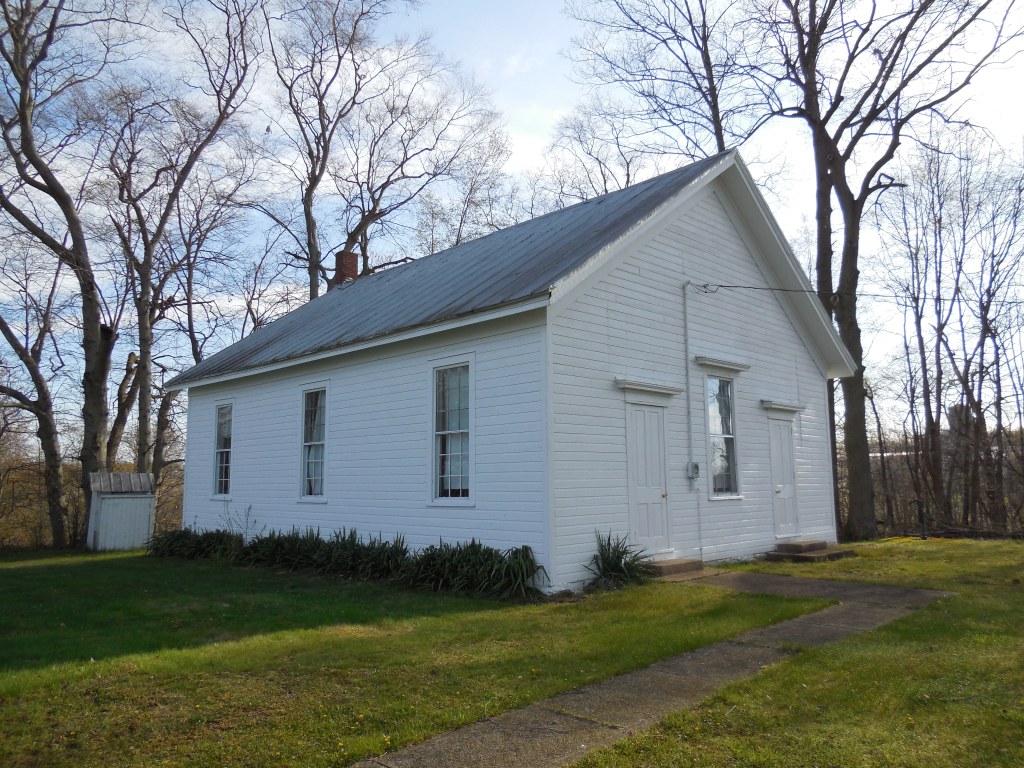
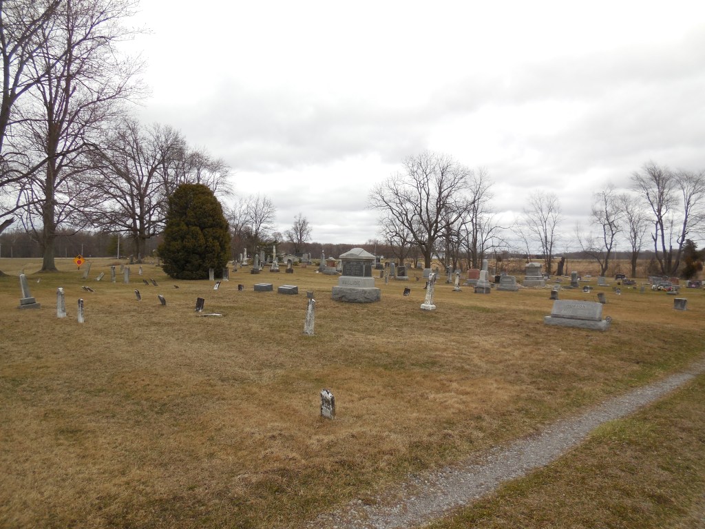
West Buffalo – Florence Township, Williams County
Post Office: 1854 – 1874
Location: 41.515689, -84.693905
on SR 34 at the 4-way intersection of Rd 5g (Co Rd 5G) and Township Rd 7g along the St Joseph River
Remnants: West Buffalo Cemetery just southwest of the intersection on the southeast side of Rd 5G
Description: West Buffalo was platted with 157 lots in 1836 by John D. Martin who built a dam and saw mill with Elias Depew in 1835 next to the St Joseph River. They constructed their family residences with lumber from the saw mill and constructed a grist mill in 1838. John sold the town plat to Eilias and his brother, John Depew, later that year and sold his partial ownership of the mills to John Depew in 1840. Although the mills were popular and received a lot of business, they didn’t help with attracting residents to West Buffalo. Only four of the lots were purchased and those were basically bought as an investment by someone who never moved there. The Depew brothers sold the plat in 1847.
More residents later moved to the area, though. There was a school in the southeast corner of the intersection, a blacksmith shop, and general store. The known postmasters were Daniel W. Wright, John J. Webb, S. J. Adams, P. D. Pelton, and David Maze. Despite the resurgence West Buffalo had, it faded out of existence prior to publication of the 1882 county history book. One of the most interesting gravestones we’ve ever seen is the highly-detailed log cabin shaped stone of William Stenger (1849 – 1900) in West Buffalo Cemetery. William owned a farm on Rd F in nearby Center Township.

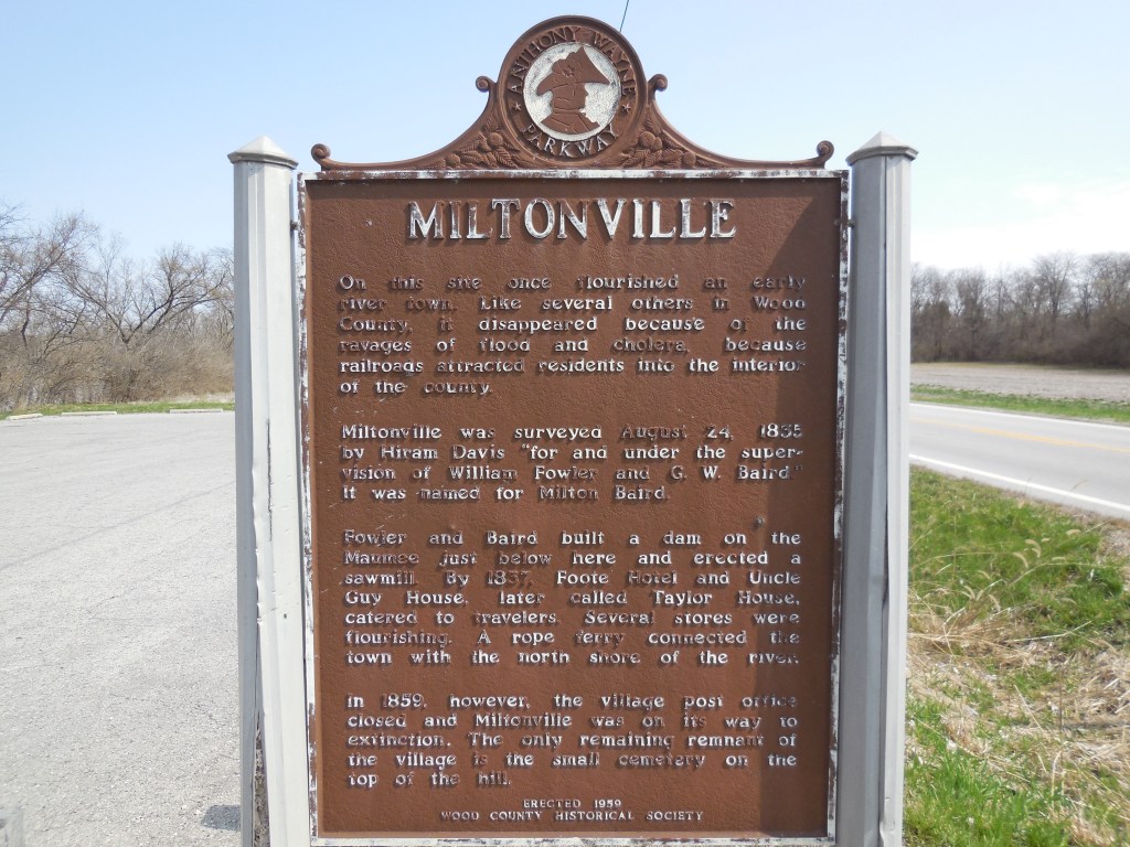
Miltonville – Middleton Township, Wood County
Post Office: 1835 – 1862
Location: 41.487214, -83.716040
on SR 65 (W River Rd) at the intersection of Ovitt Rd
Remnants: Miltonville Cemetery on the east side of SR 65 south of Ovitt Rd near Riverby Hills Golf Club, historical marker in the Miltonville Fishing Access parking lot on the west side of SR 65 just north of the GPS coordinates
Description: It was platted in 1835 by William Fowler and George W. Baird (1804 – 1856) who operated a saw mill, hotel, and a general store at the site. The town was named after Milton Baird (d. 1833). Epaphroditus Foote (1791 – 1857) from New London County, Connecticut was the first postmaster and served in several township positions. He was succeeded by William Ewing (1812 – 1895). Miltonville was hit hard with floods, cholera, and got passed up by the Dayton & Michigan Railroad in the mid-1800s. The historical marker has a lot of info about the town and surrounding area. It states that the post office closed in 1959, but it was listed in official postal records until 1862. Miltonville was also listed in the 1886 and 1912 county atlases, indicating it was still barely hanging onto its name and existence. George Baird and William Ewing were laid to rest in Fort Meigs Cemetery on W Indiana Ave in Perrysburg. Epaphroditus Foote was buried with relatives in Otsego Cemetery 5 miles southwest of the GPS coordinates on the south side of SR 65 in Washington Township. Miltonville Cemetery isn’t very large, but it is interesting to visit and contains gravestones of several war veterans who were early residents of the area.
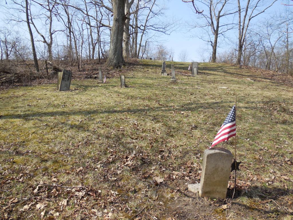
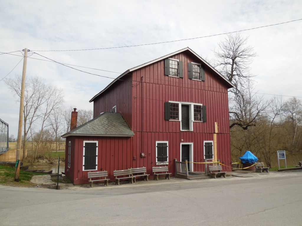
Crane Town (Cranetown) (Tarhetown) – Crane Township, Wyandot County
Location: 40.895391, -83.243490
on T-37 (Co Hwy 37) between SR 67 (Tarhe Trail) and Everhart Rd along the Sandusky River
Remnants: Tarhe Monument at the GPS coordinates, Indian Mill 2 1/2 miles southwest of the GPS coordinates on C-50 (Co Hwy 50) at the intersection of C-47
Description: Tarhe Monument at the GPS coordinates, Indian Mill 2 1/2 miles southwest of the GPS coordinates on C-50 (Co Hwy 50) at the intersection of C-47
Description: This Native American Wyandotte village was founded by the Porcupine Tribe in the late 1700s and was named after Chief Tarhe (1742 – 1818). His nickname was “The Crane” for being well over six feet tall and having long arms. As with most Native Americans, Chief Tarhe rightfully fought against American expansion in the 1700s, but sided with the Americans against the British during the War of 1812. After Chief Tarhe’s death, the residents moved to Upper Sandusky which was their primary village in Ohio during the late 1700s and throughout the Revolutionary War. A grist mill and saw mill was constructed between the two sites by the U.S. Government in return for the Wyandotte’s assistance in the War of 1812. The Wyandottes were forced to move in 1842 in accordance with the Indian Removal Act of 1830 and ended up in what is now Wyandotte, Kansas. The current City of Upper Sandusky was platted in 1843 and the present Indian Mill at the location of the original one was built in 1861. It was restored and opened to the public as a milling museum in 1968. The Tarhe Monument was constructed by Tarhe Tribe No. 145 in 1915 and is beautifully engraved in honor of his memory.
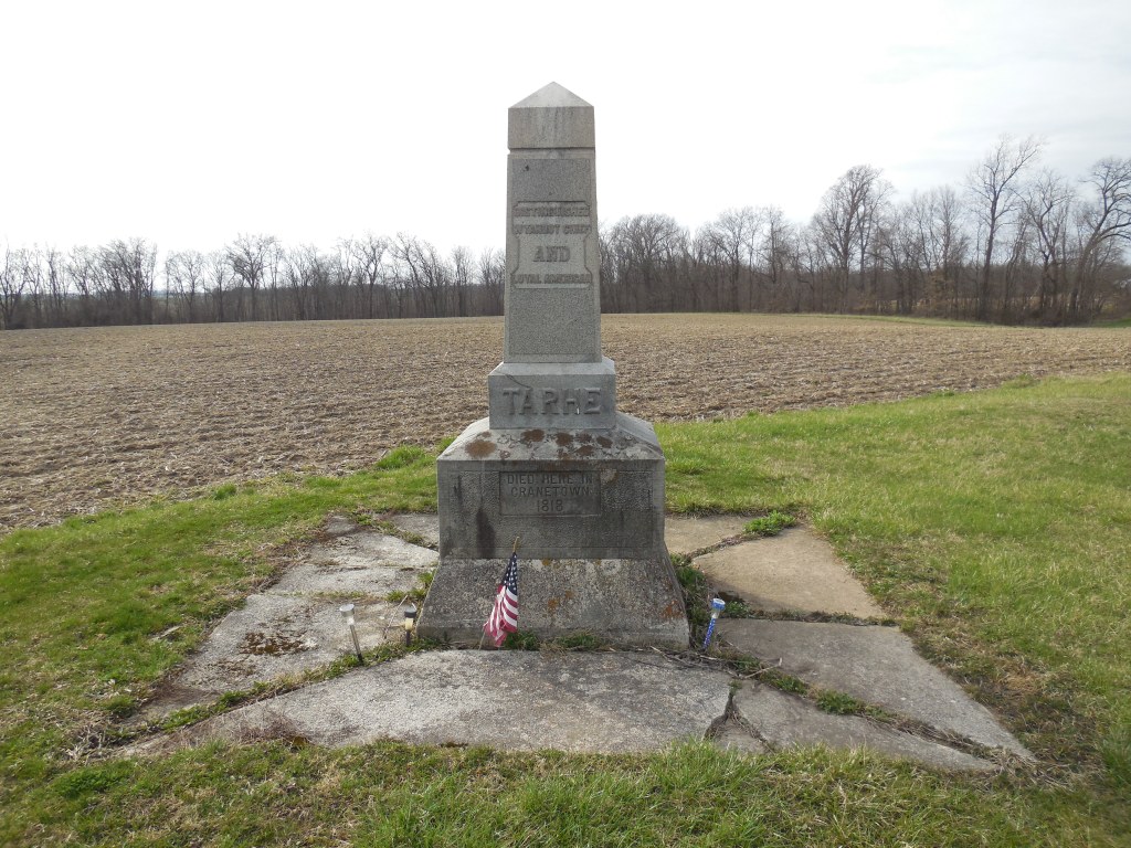
Additional Listing
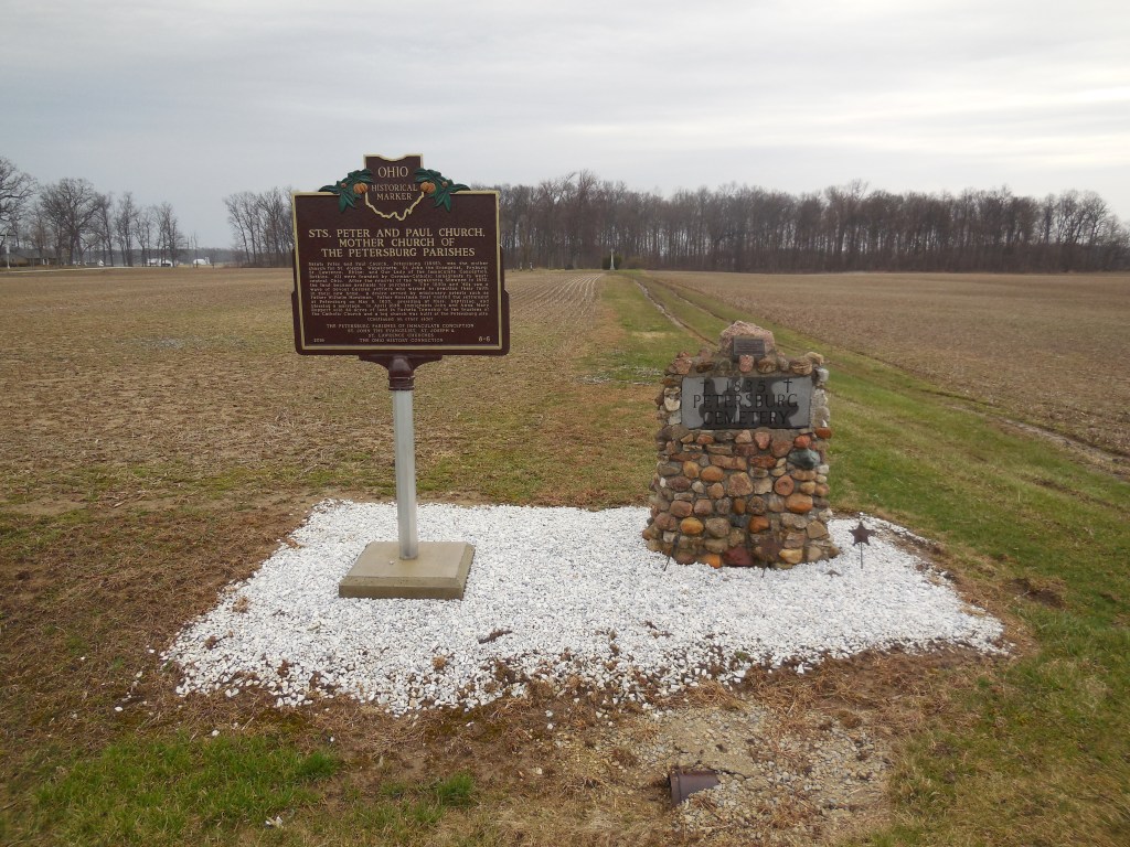
Petersburg – Pusheta Township, Auglaize County (formerly in Allen County)
Location: 40.497000, -84.162952
on Santa Fe – New Knoxville Rd between Cemetery Rd and Rupert Rd
Remnants: 1. Petersburg Cemetery on the north side of the GPS coordinates – 2. historical markers on the roadside and in the cemetery
Description: Petersburg was the site of the first Roman Catholic congregation in the township which was established as Saints Peter and Paul in 1835. German immigrants John Ruppert (1795 – 1880) and Anna (Roth) Ruppert (1795 – 1882), who arrived in the area in 1833, deeded land for a church in 1836 along with 40 acres to the congregation. Its first structure was a log cabin completed later that year. The town was platted on the 40 acres in 1852 but none of the lots sold. As membership in the congregation was declining, the log church was replaced with a brick structure at a different location in 1869 in the hope of creating new growth. The original log church was destroyed by a fire in 1884. A nice monument was placed next to Petersburg Cemetery at the spot of the altar in 1892.
The congregation disbanded in 1897 and its brick church was subsequently dismantled and the county’s Petersburg Parishes was formed in 2009 in honor of the local history. John and Anna Ruppert were buried with relatives 2 miles northeast of the GPS coordinates in Saint Johns (Fryburg) Cemetery on the east side of Wapak – Freyburg Rd. George Ruppert (1845 – 1918) and German immigrant Anna (Kaufmann) Rupert (1855 – 1934) got married in 1871, acquired the 40-acre church and cemetery site, and expanding their surrounding farm to 150 acres. They had a few children and were also laid to rest in Saint Johns (Fryburg) Cemetery.
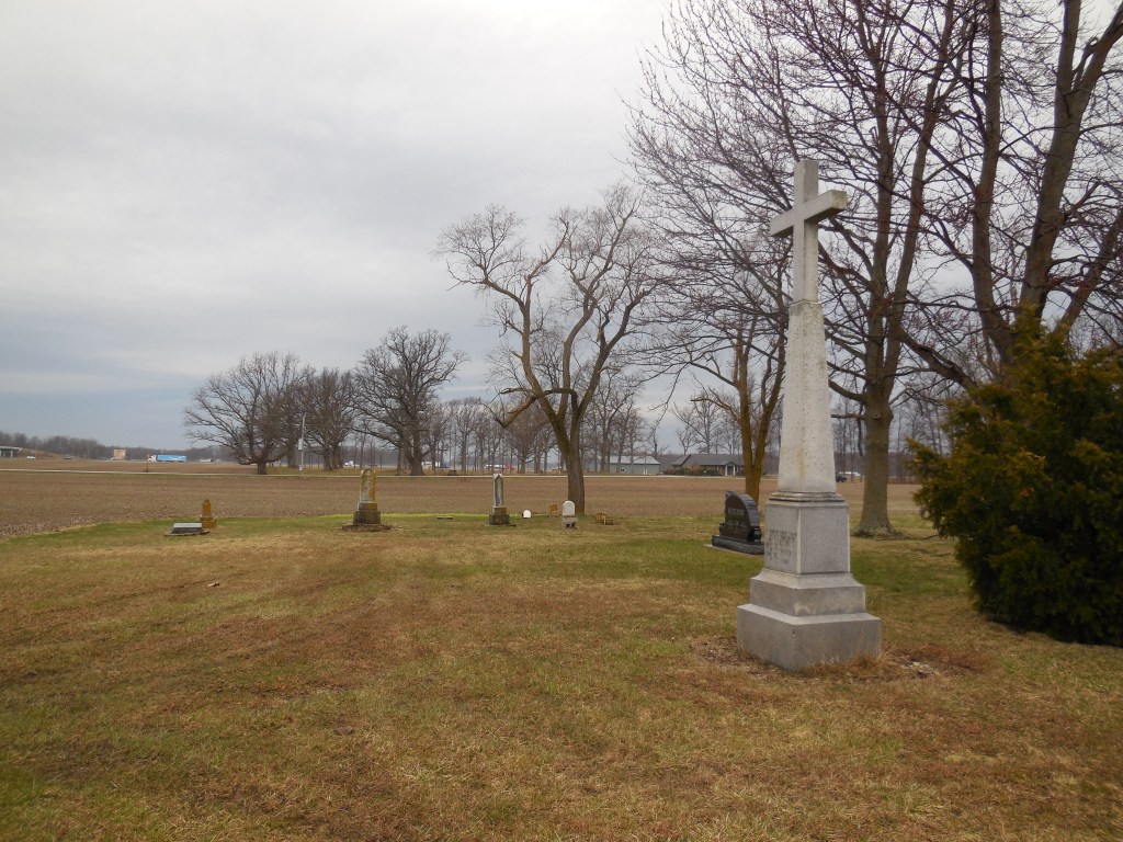
Additional Pictures

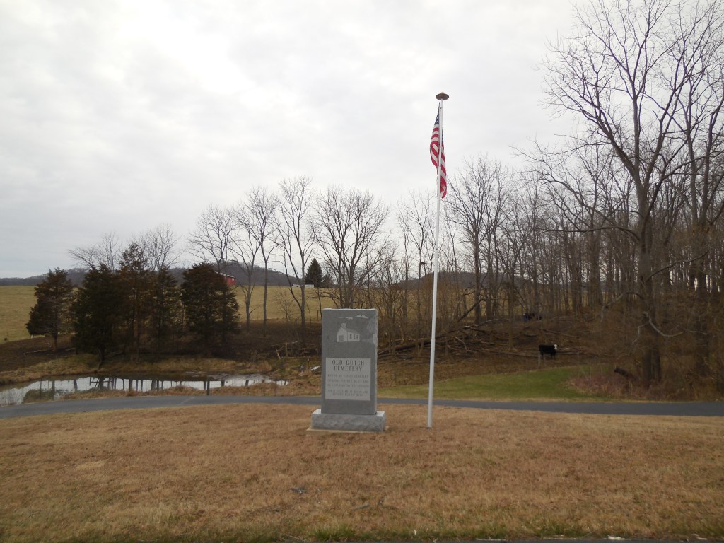

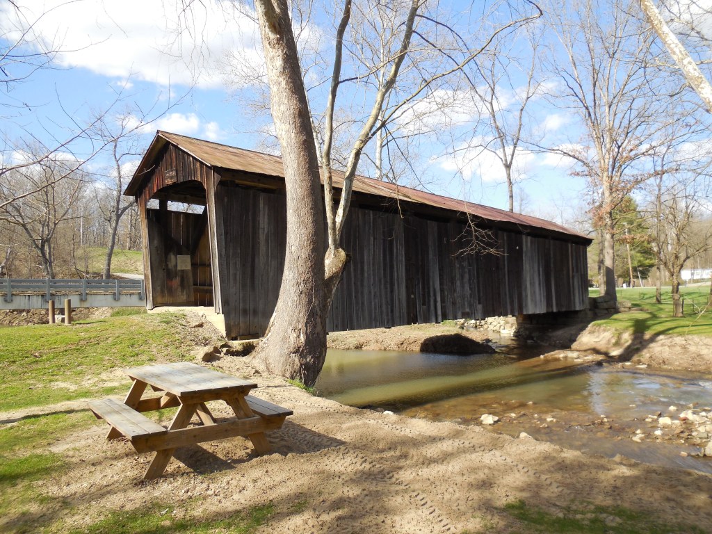
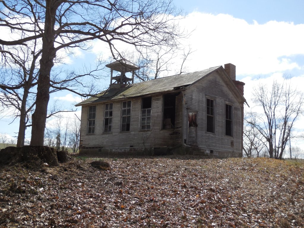
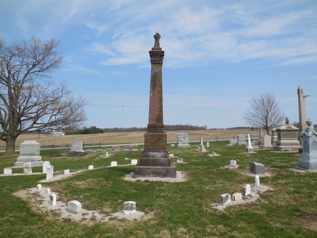
Bibliography
County history books, atlases, and maps published in the 1840s – 1920s were the main resources used to compile this work. The history books contain first hand accounts of what life was like for residents when the towns were organized, during their heydays, and occasionally have information concerning their demises if they occurred before the respective work was published. Smaller tidbits of information, such as genealogy and post and railroad records, were collected from various database style websites.
Adams County
Arms, Walter F. Caldwell’s Illustrated Historical Atlas of Adams County, Ohio. Newark, O.: J.A. Caldwell, 1880.
Evans, Nelson W. and Emmons B. Stivers. A History Of Adams County, Ohio. West Union, Ohio: E.B. Stivers, 1900.
Allen County
Harrison, R.H. Atlas of Allen County, Ohio. Philadelphia: Robert H. Harrison, 1880.
History of Allen County, Ohio. Chicago: Warner, Beers & Co., 1885.
Ashland County
Knapp, H.S. A History of the Pioneer and Modern Times of Ashland County, Ohio. Philadelphia:J.B. Lippincot & Co., 1863.
Nunan, Philip and H.S. Plumb. Nunan’s Map of Ashland Co., Ohio. Pittsburgh: William Schuchman, 1861.
Ashtabula County
Lake, D.J. Atlas of Ashtabula County, Ohio. Philadelphia: Titus, Simmons, & Titus, 1874.
Athens County
Lake, D.J. Atlas of Athens Co., Ohio. Philadelphia: Titus, Simmons, & Titus, 1875.
Walker, Charles M. History of Athens County, Ohio. Cincinnati: Robert Clarke & Co., 1869.
Belmont County
Caldwell, J.A. History of Belmont And Jefferson Counties, Ohio. Wheeling, W. VA.: The Historical Publishing Company, 1880.
Lathrop, J.M. and Penny, H.C.Atlas of Belmont County, Ohio. Philadelphia: H.C. Mead & Co., 1888.
Brown County
Lake, D.J. and B.N. Griffing. Atlas of Brown Co., Ohio. Philadelphia: Lake, Griffing & Stevenson, 1876.
Morrow, Josiah. The History of Brown County, Ohio. Chicago: W.H. Beers & Co., 1883.
Butler County
Bartlow, Bert, Cone, Todhunter, & Others. Centennial History of Butler County, Ohio. Indianapolis: B.F. Bowen & Co., 1905.
Crane, John. Map of Butler County, Ohio. Cincinnati: Middleton, Wallace & Co., 1855.
Everets, L.H. Combination Atlas Map of Butler County, Ohio. Philadelphia: L.H. Everets & Co., 1875.
Carroll County
Eberhart, G.A. Illustrated Historical Atlas of Harrison County, Ohio. Chicago: H.H. Hardesty, 1874.
Champaign County
Antrim, Joshua. The History of Champaign and Logan Counties. Bellefontaine, Ohio: Press Printing Co., 1872.
Hess, F. C.E. Map of Champaign Co., O. Cincinnati: S.H. Matthews, 1858.
Starr, J.W. and J.N. Headington. Atlas of Champaign Co., Ohio. Urbana, Ohio: Starr and Headington, 1874.
Clark County
Kizer, T. Map of Clark County, Ohio. Cincinnati: Moler, J. Douglass, 1859.
The History of Clark County, Ohio. Chicago: W.H. Beers & Co., 1881.
Clermont County
Hill, John. Map of Clermont County, Ohio. Williams & Dorr, 1857.
Lake, D.J. Atlas of Clermont County, Ohio. Philadelphia: C.O. Titus, 1870.
Lake, D.J. Atlas of Clermont County, Ohio. Philadelphia: Lake & Gordon, 1891.
Rockey, J.L. History of Clermont County, Ohio. Philadelphia: Louis H. Everts, 1880.
Williams, Byron. History of Clermont and Brown Counties, Ohio. 2 vols. Milford, Ohio: Hobart Publishing Company, 1913.
Clinton County
Brown, Albert J. History of Clinton County, Ohio. Indianapolis: B.F. Bowen & Company, 1915.
Durant, Pliny A. History of Clinton County, Ohio. Chicago: W.H. Beers & Co., 1882.
Lake, D.J. and B.N. Griffing. An Illustrated Atlas Of Clinton County, Ohio. Lake, Griffing & Stevenson, 1876.
Walling, H.F. Map of Clinton County, Ohio. New York: Walling, Rice & Moon, 1859.
Columbiana County
Atlas of Surveys of Columbiana County, Ohio. Lisbon, OH: The Columbiana County Map & Atlas Co., 1902.
Lake, D.J. Atlas of Columbiana County, Ohio. Philadelphia: C.O. Titus, 1870.
Mack, Horace. History of Columbiana County, Ohio. Philadelphia: D.W. Ensign & Co, 1879.
McCord, William B. History of Columbiana County, Ohio. Chicago: Biographical Publishing Co., 1905.
Map of Columbiana County, Ohio. Philadelphia: Carhart, Mead & Co., 1860.
Willard, J.P. Map of Columbiana County, Ohio. Lewis Vail Esq., 1841
Coshocton County
Bahmer, William J. Centennial History of Coshocton County, Ohio. 2 vols. Chicago: S.J. Clarke Publishing Co., 1909
Brock Jr., George J. Atlas of Coshocton County, Ohio. George J. Brock Jr., 1910.
Hill Jr., Norman Newell. History of Coshocton County, Ohio. Newark, Ohio:A.A. Graham & Co., 1881.
Lake, D. J. Atlas of Coshocton County, Ohio. Philadelphia: C.O. Titus., 1872.
Crawford County
Gould, H.T. and J.W. Starr. Illustrated Atlas of Crawford County, Ohio. Bucyrus, Ohio: Gould & Starr, 1873.
Perrin, Willliam Henry and Battle, J.H. History of Crawford County and Ohio. Chicago:Baskin & Battey, 1881.
Watson, M.H. and J.V.B. Watson. Map of Crawford County, Ohio. Dayton: M.H. and J.V.B. Watson, 1850s.
Cuyahoga County
Hopkins, G.M. Map of Cuyahoga County, Ohio. Philadelphia: S.H. Matthews, 1858.
Crisfield Johnson. History of Cuyahoga County, Ohio. Philadelphia:D.W. Ensign & Co., 1879.
Lake, D.J. Atlas of Cuyahoga County, Ohio. Philadelphia: Titus, Simmons & Titus, 1874.
Cram, George F. and Bennett, J.Q.A. Atlas of Cuyahoga County and the City of Cleveland, Ohio. Chicago: George F. Cram & Co., 1892.
Darke County
Chace Jr., J. Map of Darke County, Ohio. Philadelphia: S.H. Matthews, 1857.
Griffing, B.N. Atlas of Darke County, Ohio. Philadelphia: Griffing, Gordon & Co., 1888.
Lake, D.J and B.N. Griffing. Atlas of Darke Co., Ohio. Philadelphia: Lake, Griffing & Stevenson, 1875.
The History of Darke County, Ohio. Chicago, W.H. Beers & Co., 1880.
A Biographical History of Darke County, Ohio. Chicago: The Lewis Publishing Company, 1900.
Wilson, Frazer Ells. History of Darke County, Ohio. 2 vols. Milford, Ohio: The Hobart Publishing Company, 1914.
Defiance County
Griffing, B.N. Atlas of Defiance County, Ohio. Philadelphia: Griffing, Gordon & Co., 1890.
History of Defiance County, Ohio. Chicago: Warner, Beers & Co. 1883.
Delaware County
Beers, F.W. Atlas of Delaware Co., Ohio. New York: Beers, Ellis & Soule, 1866.
Eaton, George C. Map of Delaware County. Delaware, O.: James & George C. Eaton, 1849.
Everts, L.H. Illustrated Historical Atlas of Delaware County, Ohio. Philadelphia: L.H. Everts & Co., 1875.
Lytle, James R. 20th Century History of Delaware County, Ohio. Chicago: Biographical Publishing Company, 1908.
Perrin, Henry William. History of Delaware County and Ohio. Chicago: O.L. Baskin & Co., 1880.
Erie County
Aldrich, Lewis Cass. History of Erie County, Ohio. Syracuse: D. Mason & Co., 1889.
Combination Atlas Map of Erie County, Ohio. Philadelphia, Stewart & Page, 1874.
Peeke, Hewson Lindsley. A Standard History of Erie County, Ohio. Chicago and New York: The Lewis Publishing Company, 1916.
Illustrated Atlas and Directory of Erie County, Ohio. Battle Creek: The Atlas Publishing Co., 1896.
Nunan, Philip. Map of Erie & Part of Ottawa Counties, Ohio. Sandusky: Philip Nunan, 1863.
Williams, William W. The History of the Fire Lands. Cleveland: Press of Leader Printing Company, 1879.
Fairfield County
Everts, L.H. Combination Atlas Map of Fairfield County, Ohio. Philadelphia: L.H. Everts, 1875.
Graham, A.A. History of Fairfield and Perry Counties, Ohio. Chicago: W.H. Beers & Co., 1883.
Hannum’s Atlas of Fairfield County, Ohio. Lancaster, Ohio: E.S. Hannum, 1866.
Miller, Charles C. History of Fairfield County, Ohio and Representative Citizens. Chicago: Richmond-Arnold Publishing Co. 1912.
New Map of Fairfield County, Ohio. Lancaster, Ohio: Shaw & Cunningham, 1889.
Fayette County
Allen, Frank M. History of Fayette County, Ohio. B.F. Bowen & Company, Inc., 1914.
Dills, R.S. History of Fayette County. Dayton: Odell & Mayer, 1881.
Illustrated Historical Atlas of Fayette County, Ohio. Philadelphia: L.H. Everets & Co., 1875.
Plat Book of Fayette County, Ohio. Des Moines: Northwest Publishing Co., 1913.
Franklin County
A Centennial Biographical History of the City of Columbus and Franklin County, Ohio. Chicago: The Lewis Publishing Company, 1901.
Caldwell, J.A. and H.T. Gould Caldwell’s Atlas of Franklin Co. and the City of Columbus, Ohio. Columbus: J.A. Caldwell & H.T. Gould, 1872.
Graham, John. Map of Franklin County, Ohio. Philadelphia: R.C. Foote Jr., 1856.
History of Franklin and Pickaway Counties, Ohio. Philadelphia: Williams Bros., 1880.
Fulton County
Aldrich, Lewis Cass. History of Henry and Fulton Counties, Ohio. Syracuse: D. Mason & Co., 1888.
Fulton County, Ohio (map). West Unity, Ohio: Skinner & Kenyon, 1850s.
Griffing, B.N. Atlas of Fulton County, Ohio. Philadelphia: Griffing, Gordon & Co., 1888.
Mikesell, Thomas. The County of Fulton. Madison, Wis.: Northwestern Historical Association, 1905.
Gallia County
Griffith Jr., William Illustrated Atlas of Gallia Co., Ohio. The County Commissioners, 1874.
History of Gallia County. Chicago and Toledo: H.H. Hardesty & Co., 1882.
Geauga County
Atlas of Geauga County, Ohio. Cleveland: H.B. Stanahan & Co., 1900.
Pioneer And General History of Geauga County, Ohio. Historical Society of Geauga County, 1880.
History of Geauga and Lake Counties, Ohio. Philadelphia: Williams Brothers, 1878.
Lake, D.J. Atlas of Lake and Geauga Counties Ohio. Philadelphia:Titus, Simmons & Titus, 1874.
Map of Geauga and Lake Counties, Ohio. Philadelphia: S.H. Matthews, 1857.
Greene County
Broadstone, Michael A. History of Greene County, Ohio. 2 vols. Indianapolis: B.F. Bowen & Company, 1918.
Everts, L.H. Combination Atlas Map of Greene County, Ohio. Chicago: L.H. Everts & Co., 1874.
Robinson, George F. History of Greene County, Ohio. Chicago: The S.J. Clarke Publishing Co., 1902.
Rogerson, A.E. and E.J. Murphy. Map of Greene County, Ohio. Philadelphia: Anthony D. Byles, 1855.
Guernsey County
Cyrus P.B. Sarchet. History of Guernsey County, Ohio. Indianapolis: B.F. Bowen & Company, 1911.
Lake, D.J. Atlas of Guernsey County, Ohio. Philadelphia: C.O. Titus, 1870.
Hamilton County
Emerson, William D. Map of Hamilton County, Ohio. Cincinnati: C.S. Williams & Son, 1847.
Ford, Henry A. and Kate B. Ford. History of Hamilton County, Ohio. Cleveland: L.A. Williams & Co., 1881.
Harrison, R.H. Titis’ Atlas of Hamilton County, Ohio. Philadelphia: C.O. Titus, 1869.
Nelson, S.B. and J.M. Runk. History of Cininnati And Hamilton County, Ohio. Cincinnati: S.B. Nelson & Co., 1894.
Hancock County
Beardsley, D.B. History of Hancock County. Springfield, O.: Republic Printing Company, 1881.
Eberhart, G.A. and Cost J. Pearce. Illustrated Historical Atlas of Hancock County, Ohio. Chicago: H.H. Hardesty, 1875.
Kimmel, J.A. Twentieth Century History of Findlay and Hancock County Ohio and Representative Citizens. Chicago: Richmond-Arnold Publishing Co., 1910.
Lake D.J. and C.S. Warner. Map of Hancock Co., Ohio. Philadelphia: Cowles & Titus, 1863.
Map of Hancock Co., Ohio. Findlay: U.K. Stringfellow, 1890.
Hardin County
Howland, H.G. Atlas of Hardin Co., Ohio. Philadelphia: R. Sutton & Co., 1879.
The History of Hardin County, Ohio. Chicago: Warner, Beers & Co., 1883.
Harrison County
Biographical Record of the Counties of Harrison and Carroll, Ohio. Chicago: J.H. Beers & Co. 1891.
Caldwell, J.A. Caldwell’s Atlas of Harrison County, Ohio. Condit, Ohio: 1875.
Jarvis, Jacob and H. Anderson. Harrison County, O. (map). Cadiz: Jacob Jarvis, 1862.
Henry County
Aldrich, Lewis Cass. History of Henry and Fulton Counties, Ohio. Syracuse: D. Mason & Co., 1888.
Atlas Of Henry County, Ohio. Chicago: H.H. Hardesty & Co., 1875.
Highland County
Klise, J.W. The County of Highland. Madison, Wis.: Northwestern Historical Association, 1902.
Lake, D.J. Atlas of Highland County, Ohio. Philadelphia: C.O. Titus, 1871.
Lathrop, J.M. and H.C. Penny. Atlas of Highland County, Ohio. Philadelphia: H.C. Mead & Co., 1887.
Scott, Daniel. A History of The Early Settlement Of Highland County, Ohio. Hillsboro: The Gazette Office, 1890.
Hocking County
History of Hocking Valley, Ohio. Chicago: Inter-State Publishing Co.,1883.
Lake, D.J. Atlas of Hocking Co., Ohio. Philadelphia: Titus, Simmons & Titus, 1876.
Holmes County
Burlingame, E.H. Sectional and Topographical Map of Holmes County, Ohio. New York: H.F. Walling, 1861.
Cring, Henry. Caldwell’s Atlas of Holmes County, Ohio. Condit, Ohio: J.A. Caldwell, 1875.
Huron County
Lake, D.J. Atlas of Huron County, Ohio. Philadelphia: Titus, Simmons & Titus, 1873.
Mesnard, H.W. and Willam N. Perrin. Atlas of Huron County, Ohio. Cleveland: L.B. Mesnard, Son & Co., 1891.
Nunan, Philip. Map of Huron County, Ohio. Pittsburgh: Philip Nunan, 1859.
Williams, William W. History of the Fire Lands, Comprising Huron and Erie Counties, Ohio. Cleveland: William W. Williams, 1879.
Jackson County
Lake, D.J. Atlas of Jackson County, Ohio. Philadelphia:Titus, Simmons & Titus, 1875.
Willard, Eugene B. A Standard History of the Hanging Rock Iron Region Of Ohio. 2 vols. Chicago: The Lewis Publishing Company, 1916.
Jefferson County
Caldwell, J.A. History of Belmont and Jefferson Counties, Ohio. Wheeling, W. Va.: The Historical Publishing Company, 1880.
Keyly, James. Map of Jefferson County, Ohio.Philadelphia: Lee & Marsh, 1856.
Beers, F.W. Atlas of Jefferson Co., Ohio. New York: F.W. Beers & Co., 1871.
Knox County
Caldwell, J.A. and J.W. Starr. Atlas of Knox County, Ohio. Granville: J.A. Caldwell & J.W. Starr, 1871.
Caldwell, J.A. Atlas of Knox, County, Ohio. Philadelphia: E.R. Caldwell, 1896.
Hill Jr., Norman Newell. History of Knox County, Ohio. Mt. Vernon, Ohio: A.A. Graham & Co., 1881.
Lake County
History of Geauga and Lake Counties, Ohio. Philadelphia: Williams Brothers, 1878.
Stranahan, H.S. Atlas of Lake County, Ohio. Cleveland: H.B. Stranahan & Co., 1898.
Map of Geauga and Lake Counties, Ohio. Philadelphia: S.H. Matthews, 1857.
Lawrence County
Lake, D.J. An Atlas of Lawrence County, Ohio. Philadelphia: D.J. Lake & Co., 1887.
Willard, Eugene B. A Standard History of the Hanging Rock Iron Region of Ohio. 2 vols. Chicago: The Lewis Publishing Company, 1916.
Licking County
Beers, F.W. Atlas of Licking Co., Ohio. New York: Beers, Soule & Co., 1866.
Hill Jr., Norman Newell. History of Licking County, Ohio. Newark, Ohio: A.A. Graham & Co., 1881.
Map of Licking County, Ohio. Jersey City: O’Beirne & Boell, 1854.
Logan County
Combination Atlas Map of Logan County, Ohio. Philadelphia: D.J. Stweart, 1875.
Lathrop, J.M. Atlas of Logan County, Ohio. Philadelphia: D.J. Lake & Co., 1890.
Perrin, William Henry and J.H. Battle. History of Logan County and Ohio. Chicago: O.L. Baskin & Co., 1880.
Lorain County
Atlas and Directory of Lorain County, Ohio. Cleveland: The American Atlas Company, 1896.
Geil, John F. Map of Lorain Co., Ohio. Philadelphia: Matthews and Taintor, 1857.
History of Lorain County, Ohio. Philadelphia: Williams Brothers, 1879.
Lake, D.J. Atlas of Lorain County, Ohio. Philadelphia: Titus, Simmons & Titus, 1874.
Lucas County
An Illustrated Historical Atlas of Lucas and Part of Wood Counties, Ohio. Chicago: Andreas & Baskin, 1875.
Rease, W.H. Map of Lucas Co., Ohio. Philadelphia: J.D. & E. Janney, 1861.
Waggoner, Clark. History of the City of Toledo and Lucas County, Ohio. New York and Toledo: Munsell & Company, 1888.
Madison County
The History of Madison County, Ohio. 2 vols. Chicago: W.H. Beers & Co., 1883.
Walling, H.F. and Andrew S. Mowry. Map of Madison County, Ohio. New York: H.F. Walling, 1862.
Mahoning County
Canfield, J.W. Map of Mahoning County, Ohio. Canfield: J.W. Canfield, 1860.
Lake, D.J. Atlas of Mahoning County, Ohio. Philadelphia: Titus, Simmons & Titus, 1874.
Williams, H.S. History of Trumbull and Mahoning Counties. 2 vols. Cleveland: H.Z. Williams & Bro., 1882.
Marion County
Howland, H.G. Atlas of Marion County, Ohio. Philadelphia: Harrison, Sutton & Hare, 1878.
The History of Marion County, Ohio. Chicago: Leggett, Conway & Co. 1883.
Medina County
Everts, L.H. Combination Atlas Map of Medina County, Ohio. Chicago: L.H. Everts. 1874.
Geil, John F. Map of Medina Co., Ohio. Philadelphia: Matthews and Taintor, 1857.
Northrop, Nira B. Pioneer History of Medina County. Medina: Geo. Redway, 1861.
Perrin, William Henry, & Others. History of Medina County and Ohio. Chicago: Baskin & Batty, 1881.
Meigs County
Highway Maps of the Counties of Ohio. State Highway Department of Ohio, 1910.
Mercer County
Atlas of Mercer County, Ohio. Celina: J.E. Hamburger & Co., 1900.
Griffing, B.N. Atlas of Mercer County, Ohio. Philadelphia: Griffing, Gordon & Co., 1888.
Scranton, S.S. History of Mercer County, Ohio and Representative Citizens. Chicago: Biographical Publishing Co., 1907.
Miami County
Arrott, W. Map of Miami Co., Ohio. Cincinnati: S.H. Matthews. 1858.
Harbaugh, Thomas C. Centennial History. Troy, Piqua, and Miami County, Ohio and Representative Citizens. Chicago: Richmond-Arnold Publishing Co., 1900.
Lake, D.J. Atlas of Miami County, Ohio. Philadelphia: C.O. Titus, 1871.
Monroe County
Caldwell, J.A. Caldwell’s Atlas of Monroe County, Ohio. Mount Vernon, Ohio: Atlas Publishing Company, 1898.
Noll, John B. Map of Monroe County, Ohio. Cincinnati: Ehrgott, Forbriger & Co., 1869.
Montgomery County
Everets, L.H. Combination Atlas Map of Montgomery County, Ohio. Hunter Press, 1875.
Heins, Gustavas. Map of Montgomery County, Ohio. Gustavas Heins, 1851.
Lake, D.J. Titus’ Map Of Montgomery County, Ohio. C.O. Titus, Philadelphia: 1869.
The History of Montgomery County, Ohio. Chicago: W.H. Beers & Co., 1882.
Morgan County
Johnson, William P. Map of Morgan County, Ohio. McConnelsville: Middleton, Wallace & Co. 1854.
Lake, D.J. Atlas of Morgan Co., Ohio. Philadelphia: Titus, Simmons & Titus, 1875.
Robertson, Charles. History of Morgan County, Ohio. Chicago: L.H. Watkins & Co., 1886.
Morrow County
Atlas of Morrow County, Ohio. Mt. Gilead: Thad. E. Buck, 1901.
Baughman, Abraham J. and Robert Franklin Bartlett. History of Morrow County, Ohio. 2 Vols.
Harwood & Watson. Map of Morrow Co., Ohio. Philadelphia: Woodford & Bartlett, 1857.
Lake, D.J. Atlas of Morrow Co., Ohio. Philadelphia: C.O. Titus, 1871.
Muskingum County
Beers, F.W. Atlas of Muskingum Co., Ohio. New York: Beers, Soule & Co., 1866.
Biographical and Historical Memoirs of Muskingum County, Ohio. Chicago: The Goodspeed Publishing Co., 1892.
Eaton, George C. Map of Muskingum County. Zanesville: Uriah P. Bennett, 1852.
Everts, L.H. Combination Atlas map of Muskingum County, Ohio. Philadelphia: L.H. Everts, 1875.
Noble County
Illustrated Atlas of Noble County, Ohio. Philadelphia: Wall, Mann & Hall, 1876.
Martin, Frank M. The County of Noble. Madison, Wis.: Selwyn A. Brant, 1904.
Ottawa County
Commemorative Biographical Record of the Counties of Sandusky and Ottawa, Ohio. Chicago: J.H. Beers & Co., 1896.
Hardesty, L.Q. Illustrated Historical Atlas of Ottawa County, Ohio. Chicago: H.H. Hardesty, 1874.
Nunan, Philip. Map of Erie and Part of Ottawa Counties, Ohio. Sandusky: Philip Nunan, 1863.
Paulding County
Historical Atlas of Paulding County, Ohio. Madison, Wis.: The Western Publishing Company, 1900.
Morrow, Oliver. Atlas and Directory of Paulding County, Ohio. Paulding: Miller & Shaffer, 1905.
Strong, W.A. Map of Paulding County, Ohio. Philadelphia: Worley & Bracher, 1892.
Perry County
Graham, A. A., & E. S. Colborn. History of Fairfield and Perry counties, Ohio. Chicago: W.H. Beers & Co., 1883.
Lake, D.J. Atlas of Perry County, Ohio. Philadelphia: Titus, Simmons & Titus, 1875.
Walling, H.F. Map of Perry County, Ohio. New York: Walling & Rice, 1859.
Pickaway County
History of Franklin and Pickaway Counties, Ohio. Philadelphia: Williams Bros., 1880.
Lake, D.J. Atlas of Pickaway County, Ohio. Philadelphia: C.O. Titus, 1871.
Map of Pickaway County, Ohio. Philadelphia: Kellogg & Randall, 1858.
Portrait and Biographical Record of Fayette, Pickaway and Madison Counties, Ohio. Chicago: Chapman Bros., 1892.
Pike County
Highway Maps of the Counties of Ohio. State Highway Department of Ohio, 1910.
Portage County
A Portrait and Biographical Record of Portage and Summit Counties, Ohio. Logansport, Ind.: A.W. Bowen & Co., 1898.
Atlas of Portage County, Ohio. Cleveland: H.B. Stranahan & Co., 1900.
Brown, Robert C. and J.E. Norris. History of Portage County, Ohio. Chicago: Warner, Beers & Co., 1885.
Brown, J.P. Map of Portage County, Ohio. Philadelphia: Matthews & Taintor, 1857.
Everts, L.H. Combination Atlas Map of Portage County, Ohio. Chicago: L.H. Everts, 1874.
Preble County
Griffing, B.N. Map of Preble County, Ohio. Philadelphia: Griffing, Gordon & Co., 1887.
Lake, D.J. Atlas of Preble County, Ohio. Philadelphia: C.O. Titus, 1871.
Robinson, F.B. Map of Preble County, Ohio. Richmond, Ind.: F.B. Robinson, 1897.
History of Preble County, Ohio. Cleveland: H.Z. Williams & Bro., 1881.
Putnam County
Historical Hand-Atlas. Chicago and Toledo:H.H. Hardesty & Co., 1880.
History of Putnam County, Ohio. Chicago and Toledo: H.H. Hardesty & Co., 1880.
Kinder, George. History Of Putnam County, Ohio. Indianapolis:B.F. Bowen & Company, Inc., 1915.
Seitz, D.W. and O.C. Talbot. The Putnam County Atlas. D.W. Seitz & O.C. Talbot, 1895.
Richland County
Andreas, A.T. Atlas Map of Richland County, Ohio. Chicago: A.T. Andreas, 1873.
Baughman, Abraham J. The History of Richland County, Ohio, from 1808-1908. 2 vols. Chicago: The S.J. Clarke Publishing Co., 1908.
O’Byrne, P. Map of Richland Co., Ohio. Philadelphia: Matthews & Taintor, 1856.
Ross County
Bennett, Henry Holcomb. The County of Ross. Vol. 2. Madison, Wis.: Selwyn A. Brant, 1902.
Evans, Lyle S. A Standard History of Ross County, Ohio. 2 vols. Chicago and New York: The Lewis Publishing Company, 1917.
Finley, Isaac J. and Rufus Putnam. A Pioneer Record and Reminiscences of the Early Settlers and Settlement of Ross County, Ohio. Cincinnati: Robert Clarke & Co. 1871.
Gould, Hueston T. Illustrated Atlas of Ross County and Chillicothe, Ohio. Columbus: H.T. Gould & Co., 1875.
Walling, H.F. Topographical Map of Ross County, Ohio. New York:H.F. Walling’s Map Establishment, 1860.
Sandusky County
Everts, L.H. Combination Atlas Map of Sandusky County, Ohio. Chicago: Everts, Stewart & Co., 1874.
History of Sandusky County, Ohio. Cleveland: H.Z. Williams & Bro., 1882.
Hughes, Henry. Map of Sandusky County, Ohio. Fremont: Henry Hughes, 1891.
McDonnell, John. Map of Sandusky County, Ohio. Philadelphia: John McDonnell, 1860.
Scioto County
Evans, Nelson W. A History of Scioto County, Ohio. Portsmouth: Nelson W. Evans, 1903.
History of Lower Scioto Valley, Ohio. Chicago: Inter-State Publishing Co., 1884.
Map of Scioto County, Ohio. Cincinnati: Barton & Gibbs, 1875.
Seneca County
Baughman, Abraham J. History of Seneca County, Ohio. Chicago and New York: The Lewis Publishing Company, 1911.
History of Seneca County, Ohio. Chicago: Warner, Beers & Co., 1886.
Lake, D.J. Map of Seneca Co., Ohio. Philadelphia: Cyrus Stone & Clarence Titus, 1864.
Stewart, D.J. Combination Atlas Map of Seneca County, Ohio. Philadelphia: D.J. Stewart. 1874.
Shelby County
Atlas and Directory of Shelby County, Ohio. Cleveland: The American Atlas Company, 1900.
Combination Atlas Map of Shelby County, Ohio. Evansville, Ind.: Page & Smith. 1875.
History of Shelby County, Ohio. Philadelphia: R. Sutton & Co., 1883.
Waner, C.S. and L.C. Warner. Map of Shelby Co., Ohio. Philadelphia: C.A.O. Mclellan & C.S. Warner, 1865.
Stark County
Beers, F.W. Atlas of Stark Co., Ohio. New York: F.W. Beers & Co., 1870.
Everts, L.H. Combination Atlas Map of Stark County, Ohio. Philadelphia: L.H. Everts & Co., 1875.
Kauffman, William J. and Orrin F. Kauffman. Atlas of Stark County, Ohio. Canton: The Ohio Map and Atlas Co., 1896.
Perrin, William Henry. History of Stark County with and Outline Sketch of Ohio. Chicago: Baskin & Battey, 1881.
Schuchman, William. New Map of Stark County, Ohio. Pittsburgh: Williams, Dorr & Co., 1855.
Summit County
Illustrated Summit County, Ohio. Akron: Akron Map & Atlas Co., 1891.
Paul, Hosea. Map of Summit Co., Ohio. Philadelphia: Matthews & Taintor, 1856.
Perrin, William Henry. History of Summit County With An Outline Sketch of Ohio. Chicago: Baskin & Battey, 1881.
Tackabury, George N. Combination Atlas Map of Summit County, Ohio. Philadelphia: Tackabury, Mead & Moffett, 1874.
Trumbull County
Atlas and Directory of Trumbull County, Ohio. Cleveland: The American Atlas Company, 1899.
Everts, L.H. Combination Atlas Map of Trumbull County, Ohio. Chicago: L.H. Everts, 1874.
Upton, Harriet Taylor. A Twentieth Century History of Trumbull County, Ohio. 2 vols. Chicago: The Lewis Publishing Company, 1909.
Williams, H.S. History of Trumbull and Mahoning Counties. 2 vols. Cleveland: H.Z. Williams & Bro., 1882.
Tuscarawas County
Everets, L.H. Combination Atlas Map of Tuscarawas County, Ohio. Philadelphia:L.H. Everets & Co., 1875.
Mansfield, John Brandt. The History of Tuscarawas County, Ohio. Chicago: Warner, Beers & Co., 1884.
Rhodes, Edwin S. The First Centennial Atlas of Tuscarawas County, Ohio. New Philadelphia, Ohio: Tuscarawas Centennial Association, 1908.
Union County
Map of Union County, Ohio. Marysville, O.: Marysville Map Co., 1908.
Mowry, A.S. Atlas of Union County, Ohio. Philadelphia: Harrison, Sutton & Hare, 1877.
Durant, Pliny A. The History of Union County, Ohio. Chicago: W.H. Beers & Co., 1883.
Van Wert County
Gilliland, Thaddeus Stephens. History of Van Wert County, Ohio and Representative Citizens. Chicago: Richmond & Arnold, 1906.
Griffing, B.N. An Atlas of Van Wert County, Ohio. Philadelphia: Griffing, Gordon & Co., 1886.
History of Van Wert and Mercer Counties, Ohio. Wapakoneta: R. Sutton & Co., 1882.
Map of Van Wert County Townships. C.B. Witten, 1872.
Vinton County
Lake, D.J. Atlas of Vinton Co., Ohio. Philadelphia: Titus, Simmons, & Titus, 1876.
Willard, Eugene B., et al. A Standard History of the Hanging Rock Iron Region of Ohio. 2 vols. Chicago: The Lewis Publishing Company, 1916.
Warren County
Beers, W.H. The History of Warren County, Ohio. Chicago: W.H. Beers & Co., 1882.
Bone, Frank A. Complete Atlas of Warren County, Ohio. Lebanon: Frank A. Bone, 1891.
Everts, L.H. Combination Atlas Map of Warren County, Ohio. Philadelphia:L.H. Everts, 1875.
O’Beirne, P. Map of Warren Co., Ohio. Philadelphia: Anthony D. Byles, 1856.
Washington County
Hathaway, Seymour J. History of Marietta and Washington County, Ohio and Representative Citizens. 2 vols. Chicago: Biographical Publishing Company, 1902.
Lake, D.J. Atlas of Washington County, Ohio. Philadelphia: Titus, Simmons & Titus, 1875.
Lorey, William. Map of Washington County, Ohio. Philadelphia: Edwin P. Gardner, 1858.
Williams, H.Z. History of Washington County, Ohio. Cleveland: H.Z. Williams & Bro., 1881.
Wayne County
Caldwell, J.A. Caldwell’s Atlas of Wayne Co. and the City of Wooster, Ohio. Sunbury: J.A. Caldwell, 1873.
Caldwell, J.A. Caldwell’s Atlas of Wayne Co., Ohio. Mount Vernon, Ohio: Atlas Publishing Co., 1897.
Caldwell, J.A. Caldwell’s Atlas of Wayne Co., Ohio. Mount Vernon, Ohio: Atlas Publishing Co., 1908.
Lorey, W. and Hein, J. Baker’s Map of Wayne Co., Ohio. Philadelphia: Baker & Gager: 1856.
Williams County
An Illustrated Historical Atlas of Williams County, Ohio. Chicago: Andreas & Baskin, 1874.
Battey, F.A. County of Williams, Ohio: Historical and Biographical. Chicago: F.A. Battey & Co., 1882.
Lathrop, James M. and John C. Grim. Atlas of Williams County, Ohio. Cleveland: Gordon, Lathrop & Co., 1894.
Wood County
Commemorative Historical and Biographical Record of Wood County, Ohio; Its Past and Present. 2 vols. Chicago: J.H. Beers & Co., 1897.
Griffing, B.N. An Atlas of Wood County, Ohio. Philadelphia: Griffing, Gordon & Co., 1886.
Rossback, J.H. and L.H. Wismar. An Atlas of Wood County, Ohio. Bowling Green, Ohio: The Maumee Valley Map Co., 1912.
Wyandot County
Hare, A.J. and William Engel. Atlas of Wyandot Co., Ohio. Philadelphia: Harrison & Hare, 1879.
The History of Wyandot County, Ohio. Chicago: Leggett, Conway & Co., 1884.
Websites With General Resources
Bridges – bridgehunter.com
Cemeteries – findagrave.com
Genealogy – familysearch.org
Ghost Legends – hauntedplaces.org
Iron Furnaces – oldindustry.org
Maps – loc.gov/maps/?q=ohio
Post Offices – postalhistory.com
Railroads – abandonedrails.com
Schools – oldohioschools.com
Train Stations – west2k.com
©2021 – Glenn Morris and the Ohio Ghost Town Exploration Co.
